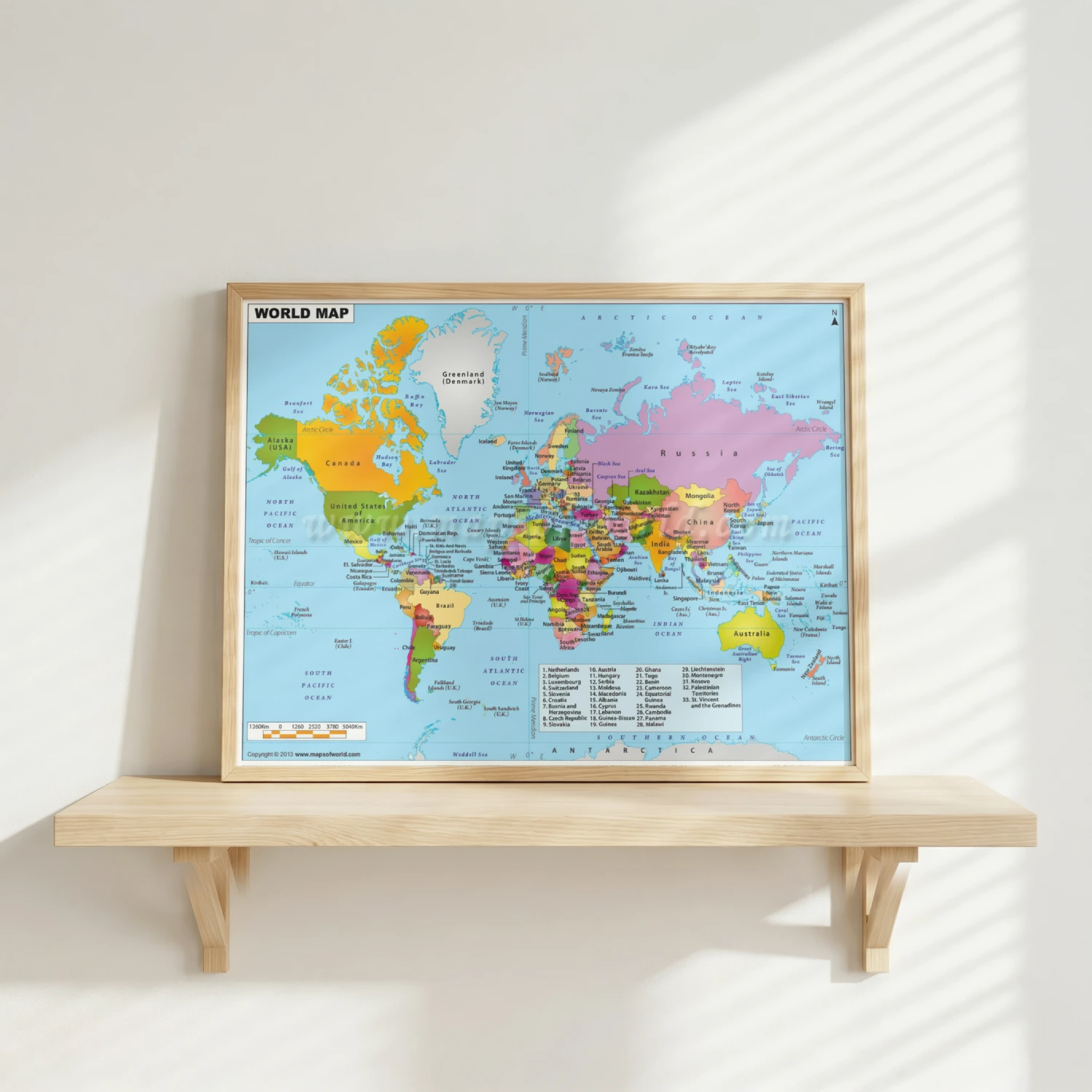
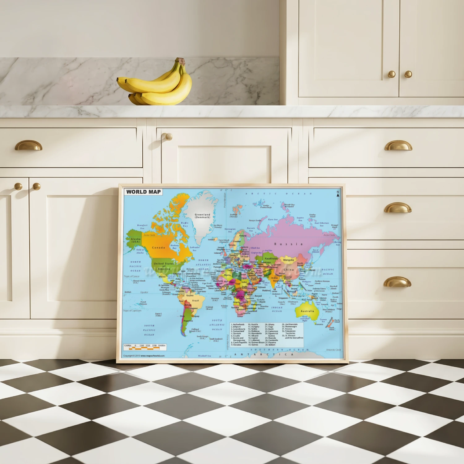
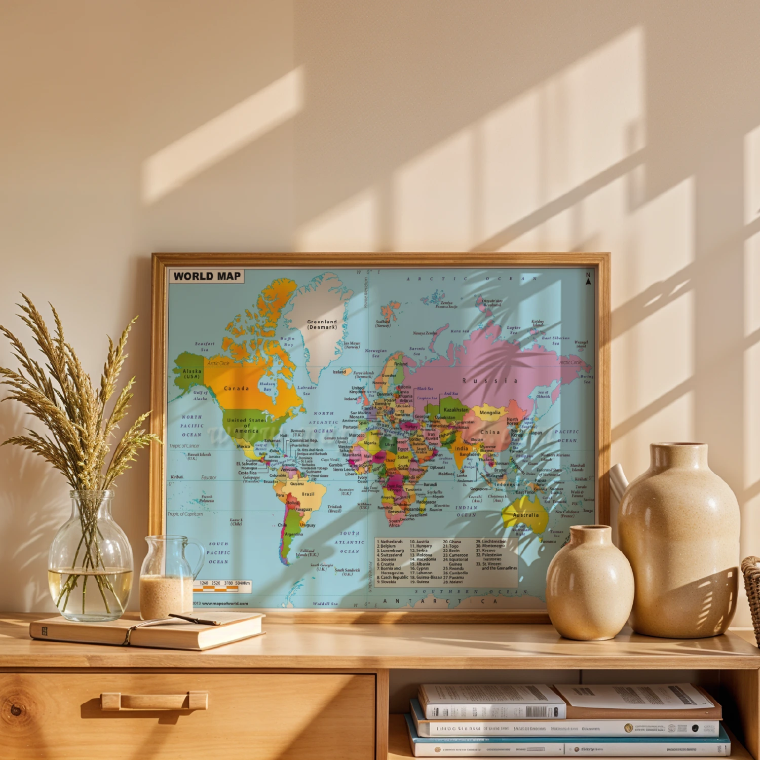
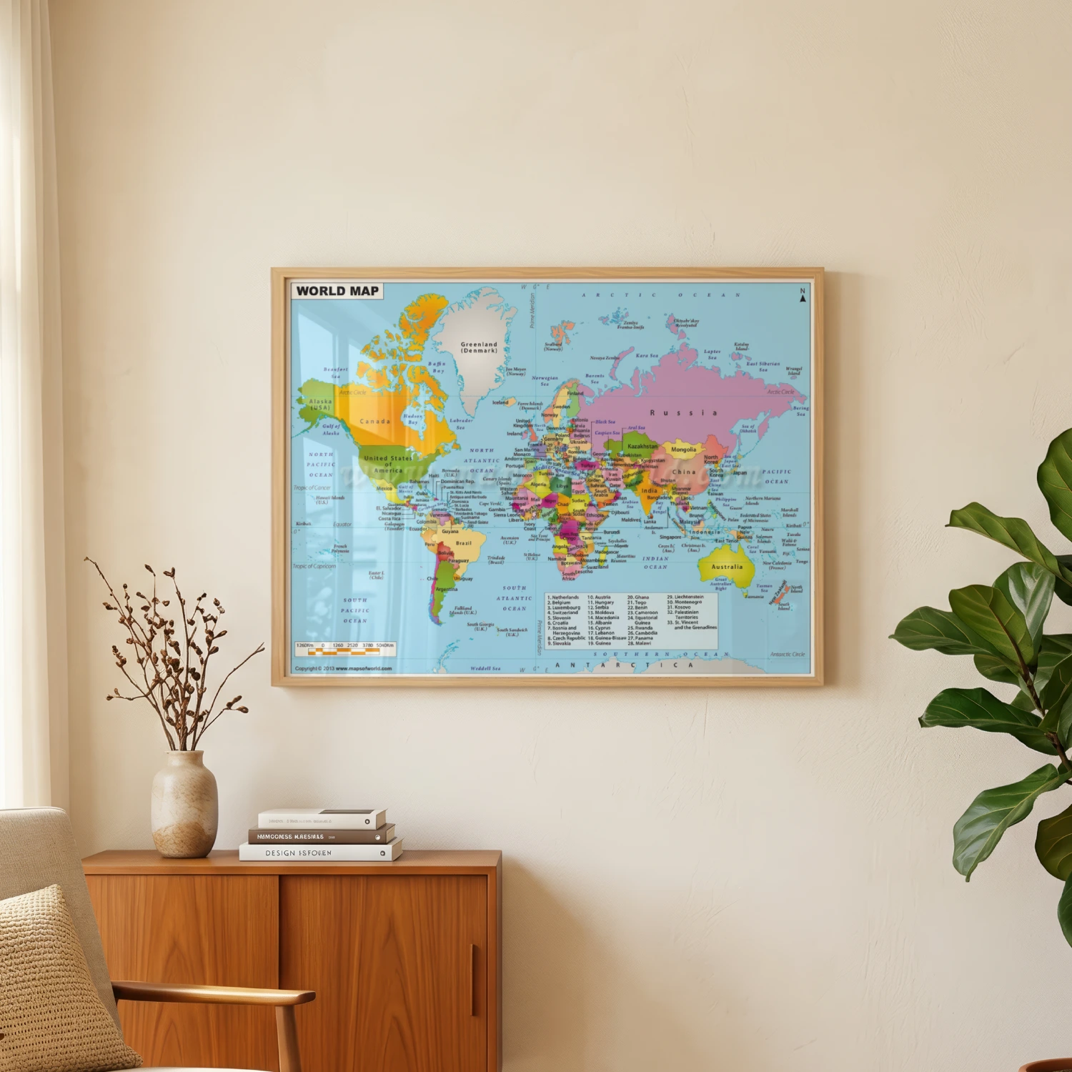
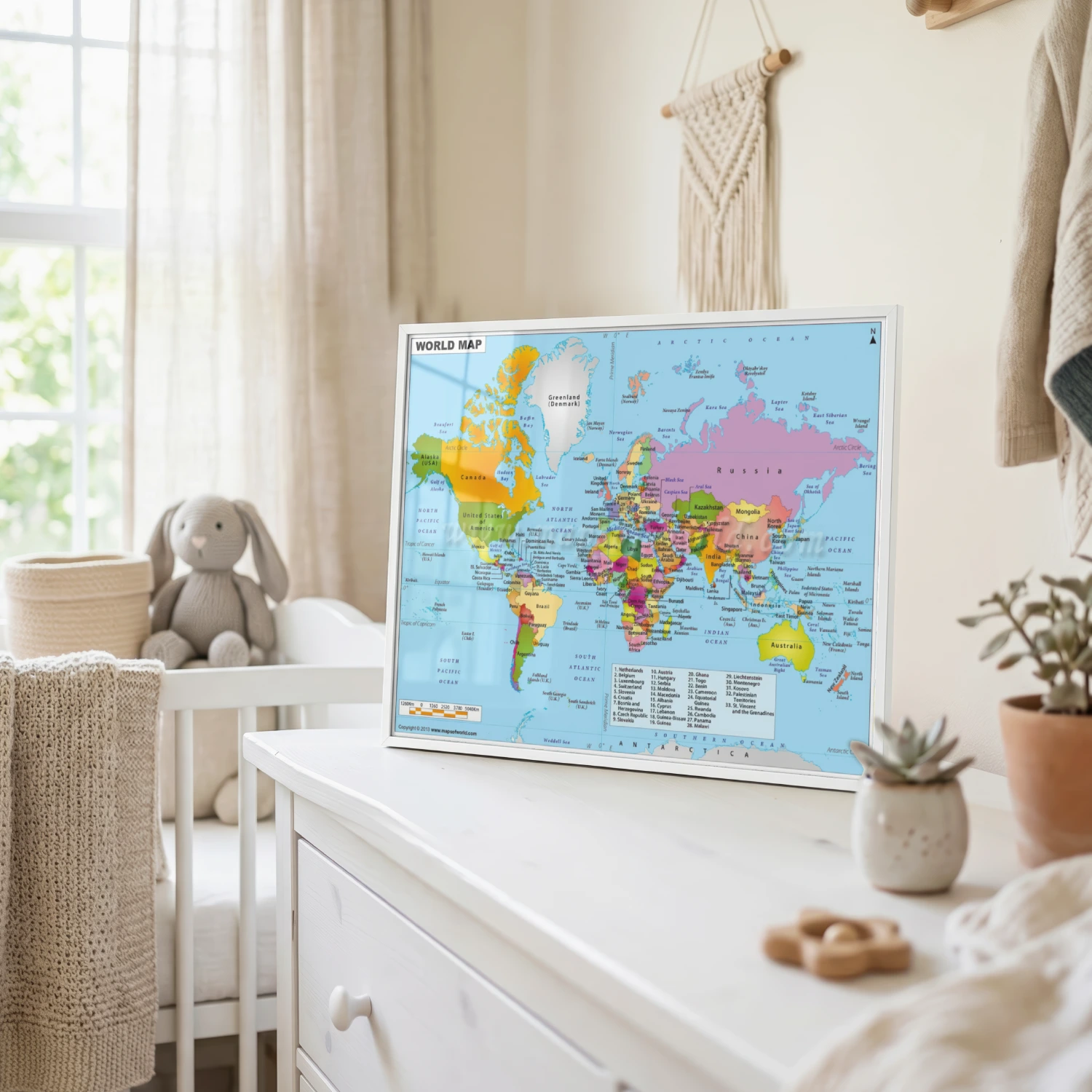
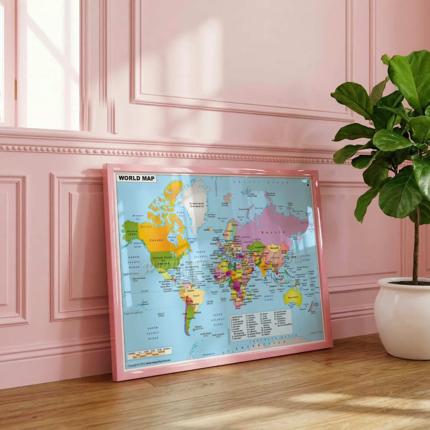
Color-Coded World Map of Countries and Continents Classroom Wall Art
A detailed political world map with every country labeled, color-coded continents, oceans and a kilometer scale for the classroom or study.
Description
This comprehensive world map labels every country across color-coded continents, with surrounding seas, major islands, polar regions and a kilometer scale bar. A 2013 maps-of-world edition, it works beautifully as an educational tool or as classic cartography decor for offices, classrooms and libraries.