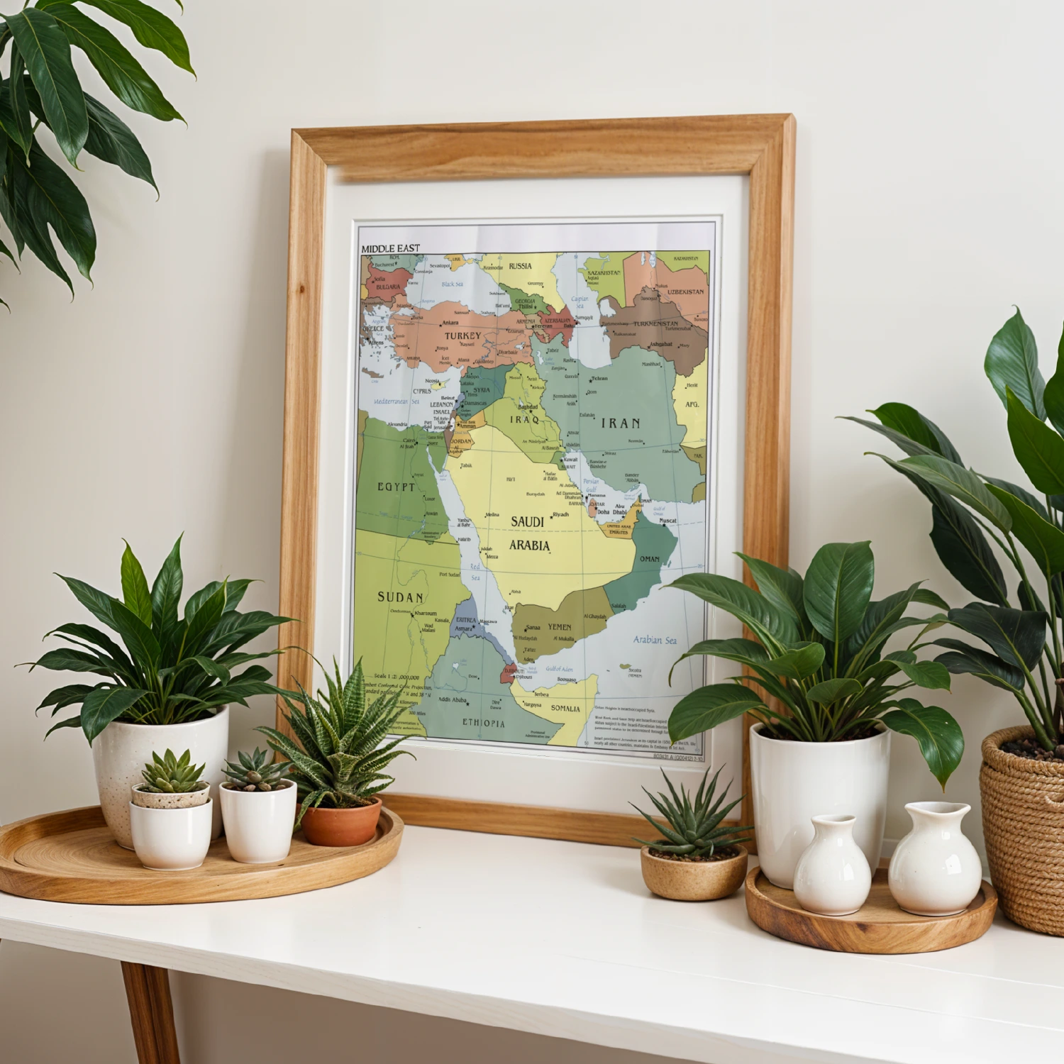
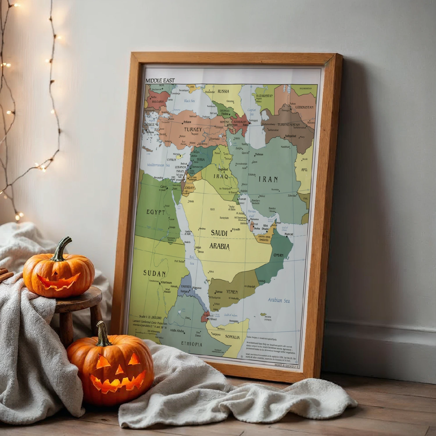
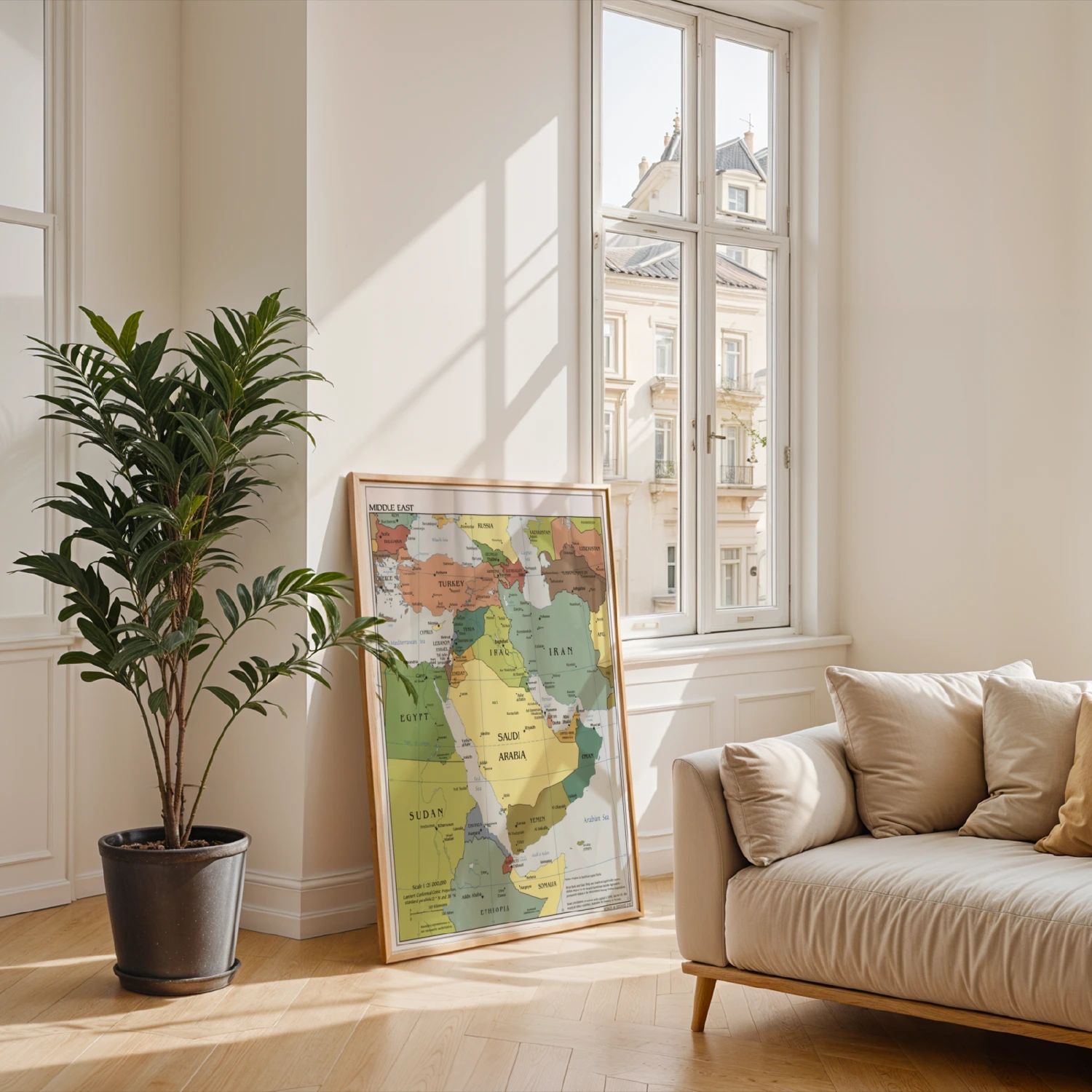
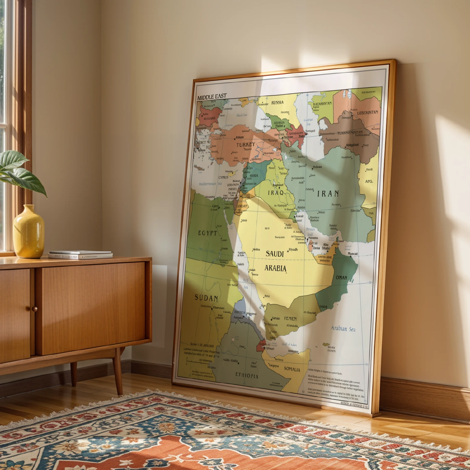
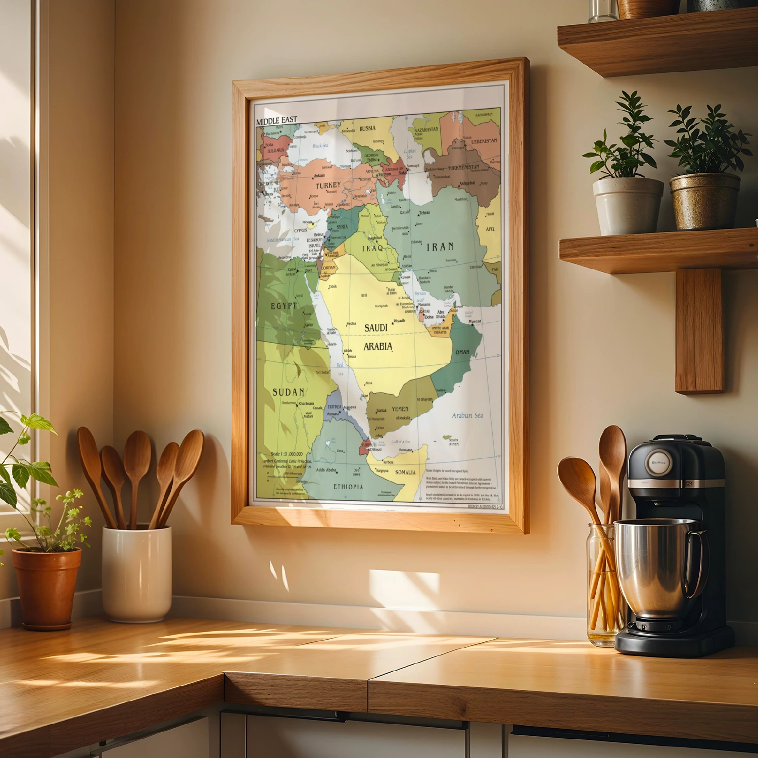
Middle East Political Map Countries Capitals Cities Educational Wall Art
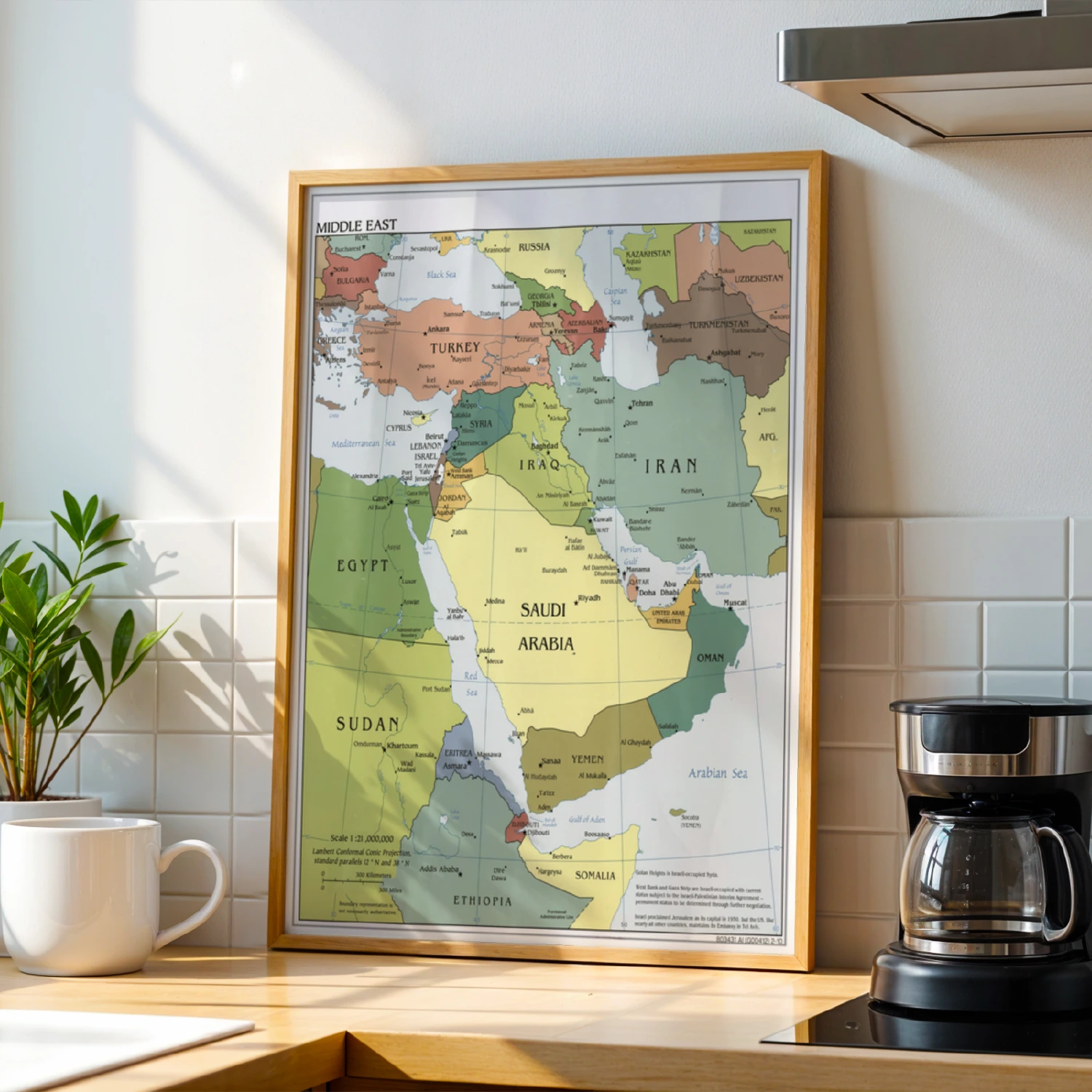
A detailed political map of the Middle East with countries, capitals, and cities at 1:21,000,000 scale, ready for classroom or office walls.
Description
This educational wall art presents a detailed political map of the Middle East, labeling countries, capitals, and major cities from Turkey and Egypt to Iran and the Arabian Peninsula. The Lambert Conformal Conic Projection and scale notes suit classrooms, offices, and study spaces. A clear, classic reference print for geography lovers.