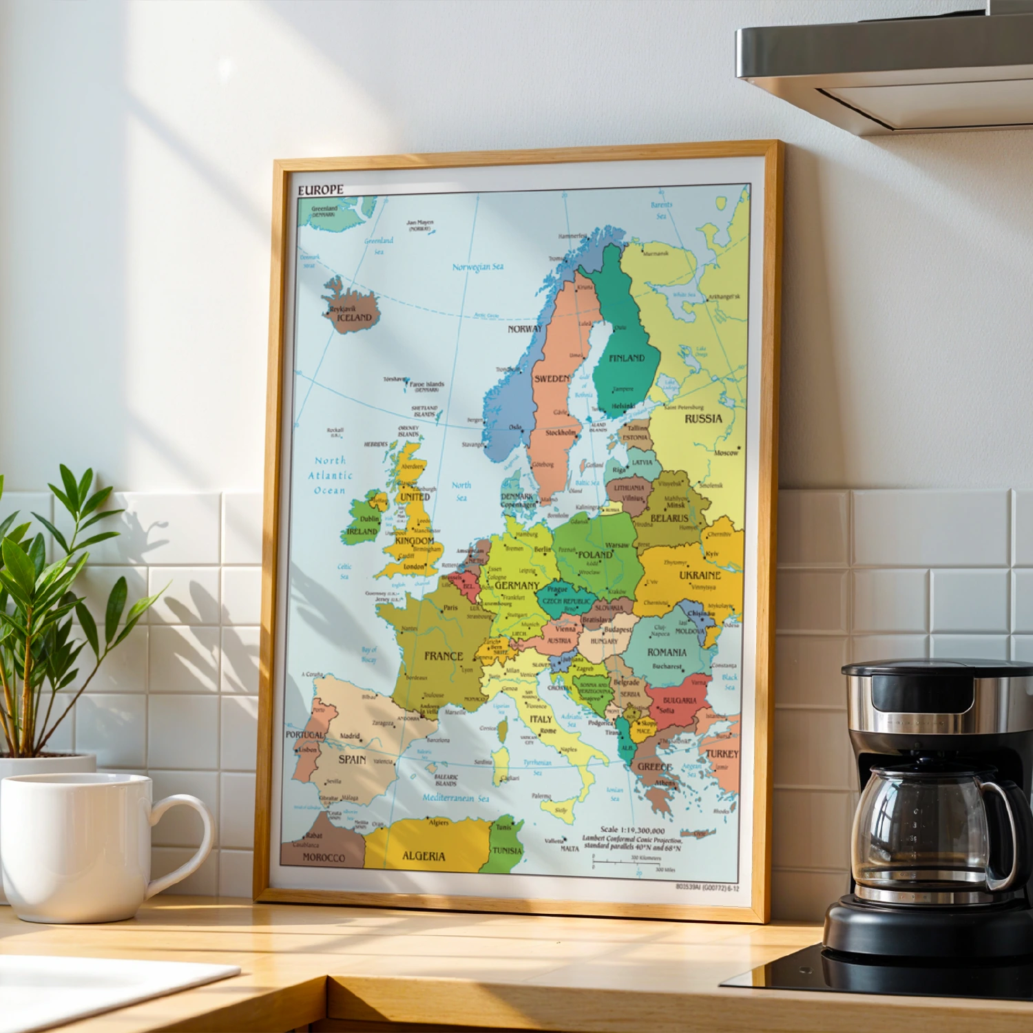
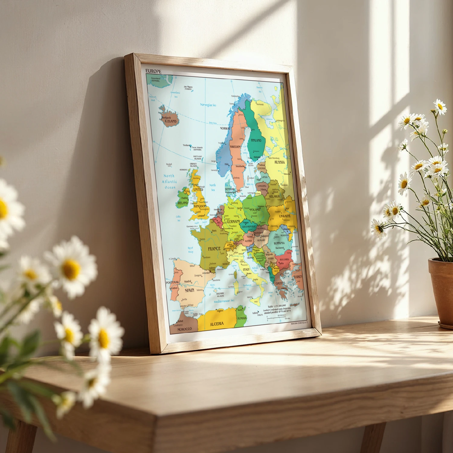

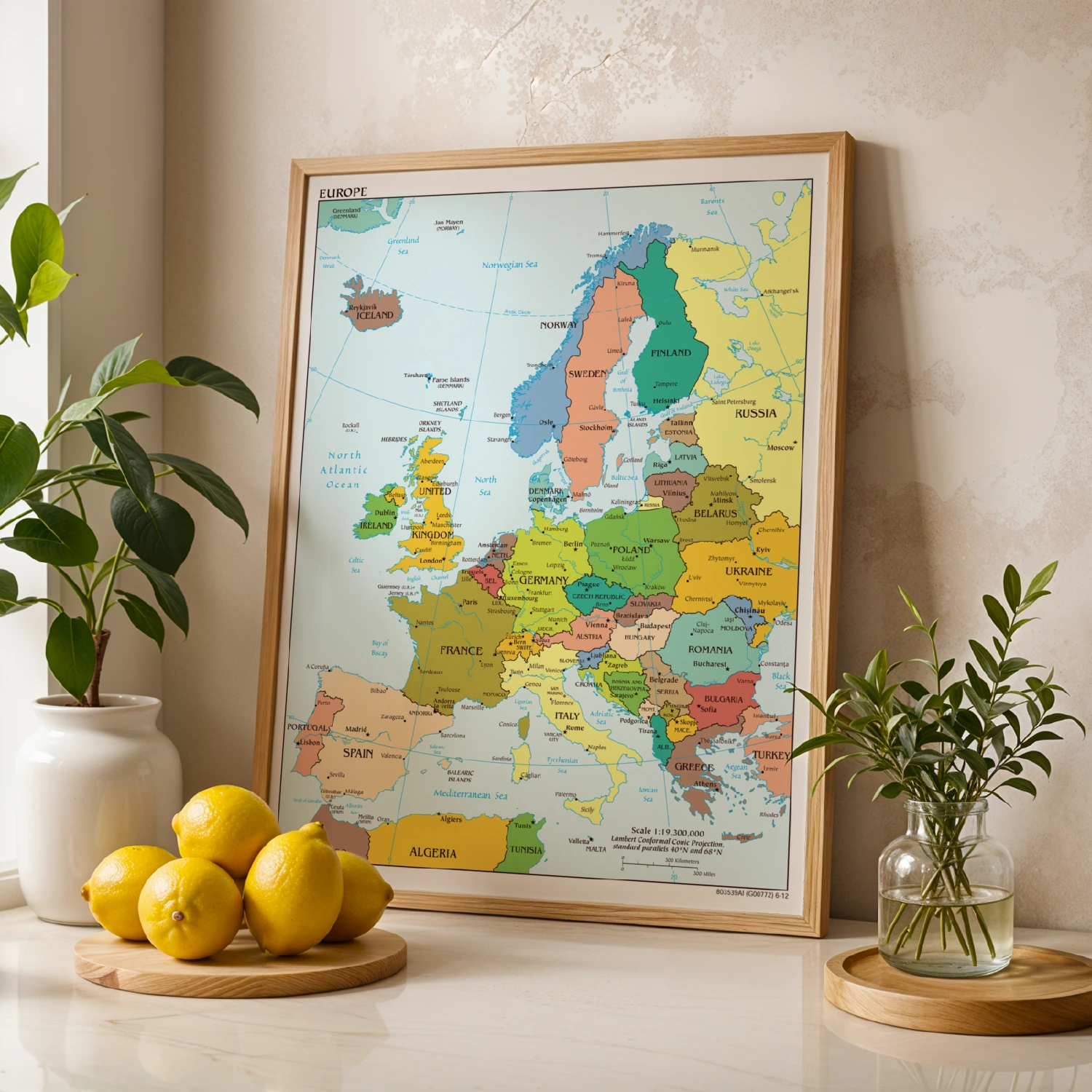
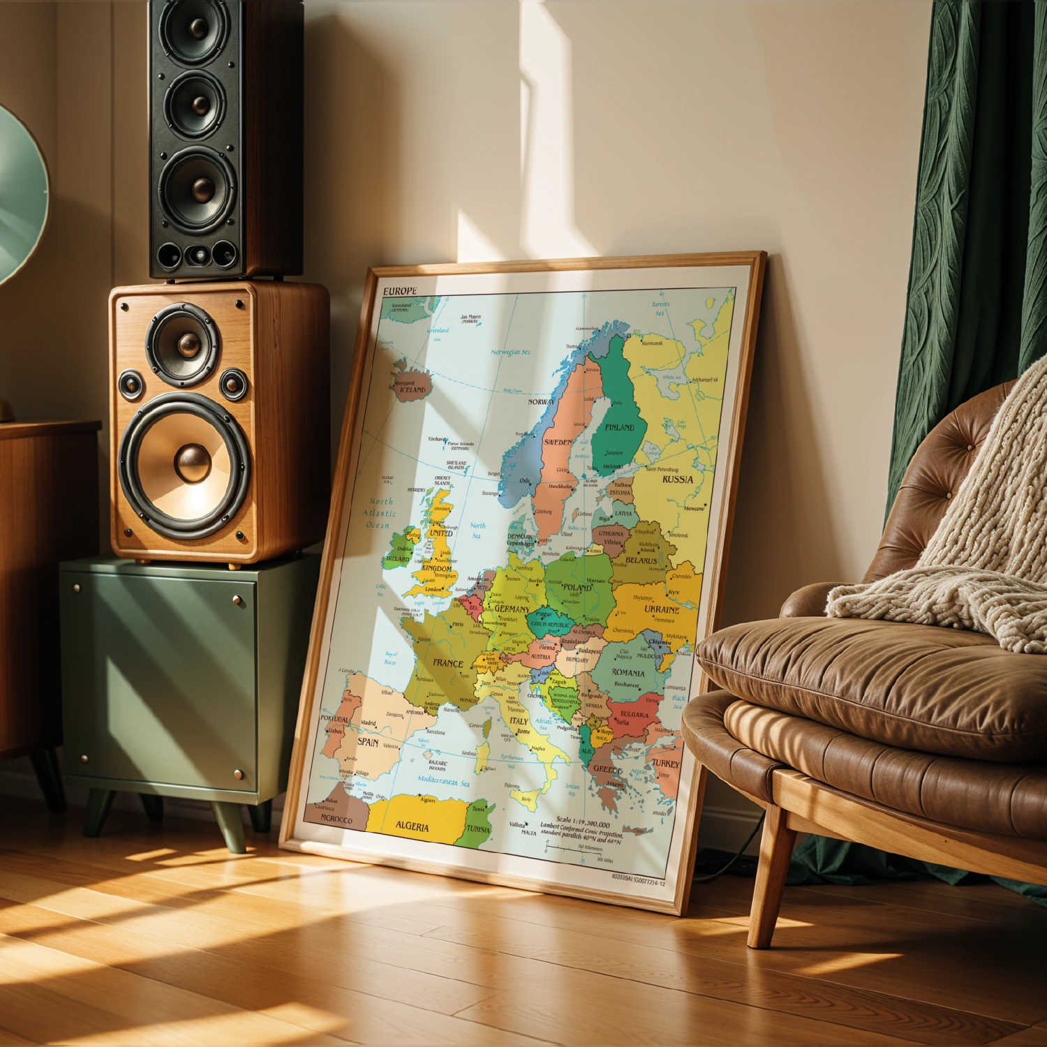
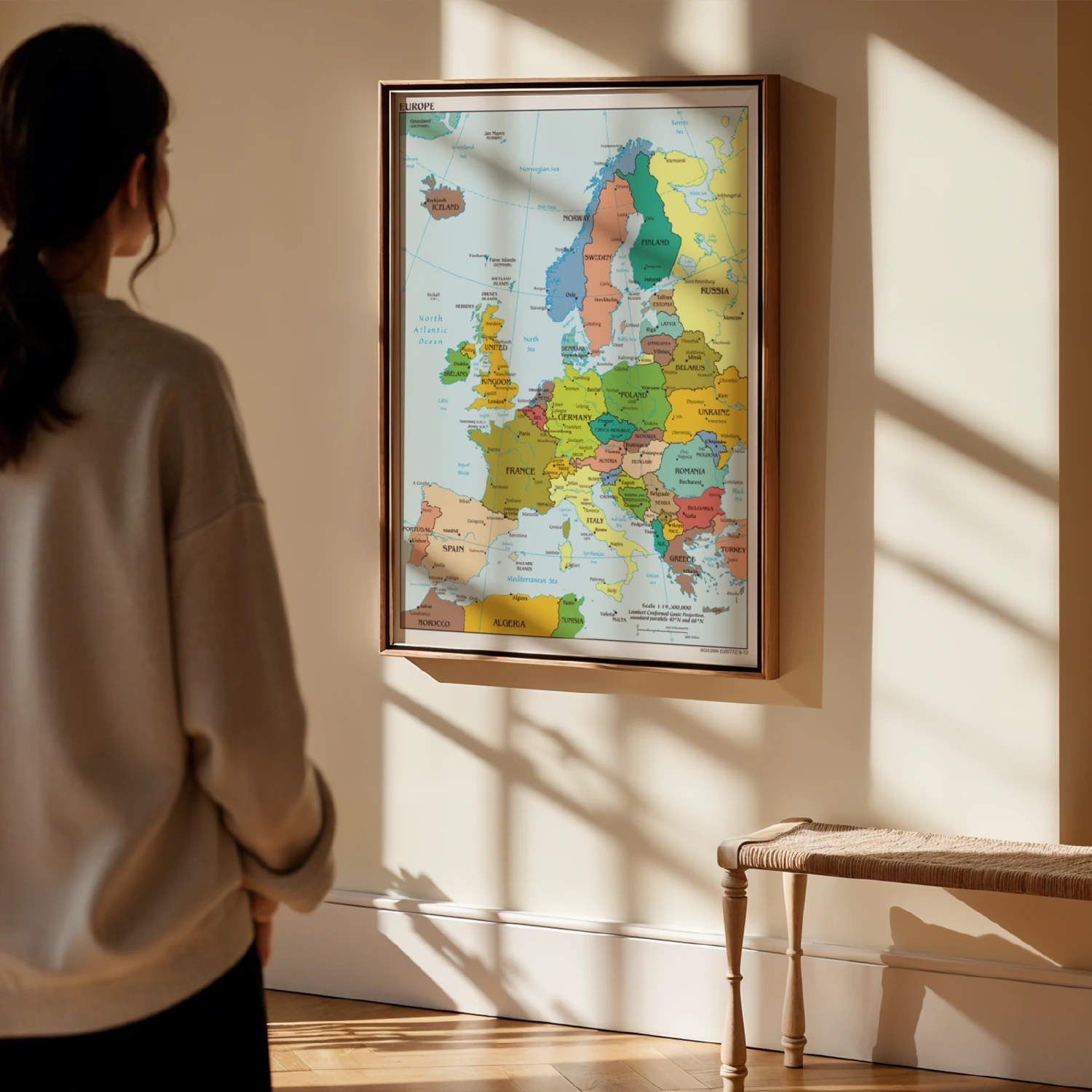
Color Political Map of Europe Educational Geography Wall Poster
A detailed full-color political map of Europe showing every country, capital, and major city. Printed with a Lambert Conformal Conic projection at 1:19,300,000 scale.
Description
This educational wall poster presents Europe in vivid color-coded countries with labeled capitals, cities, islands, and seas from Iceland to Turkey. Clear typography and a printed scale bar make it ideal for classrooms, home offices, and study spaces. A practical reference and a handsome piece of geographic decor.