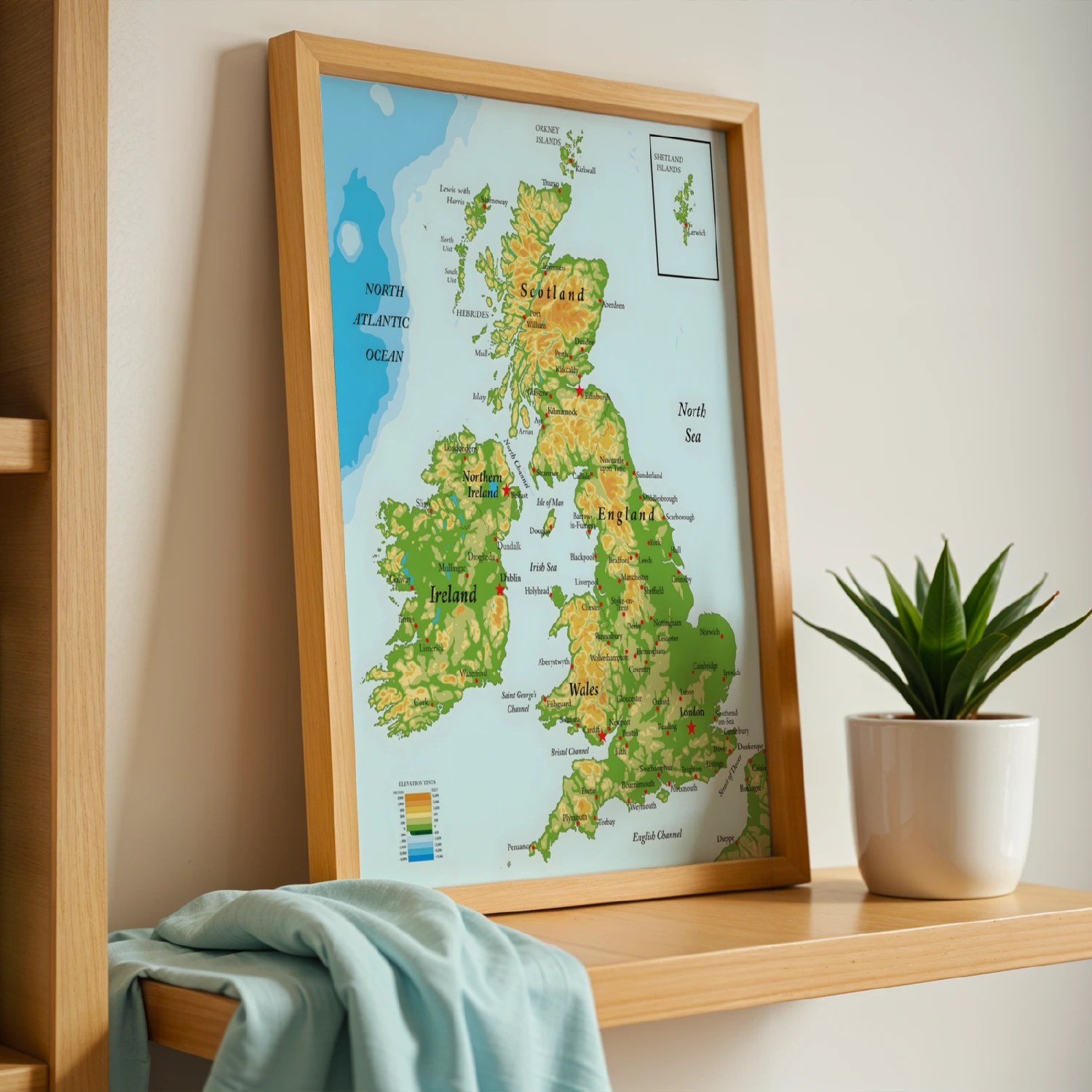
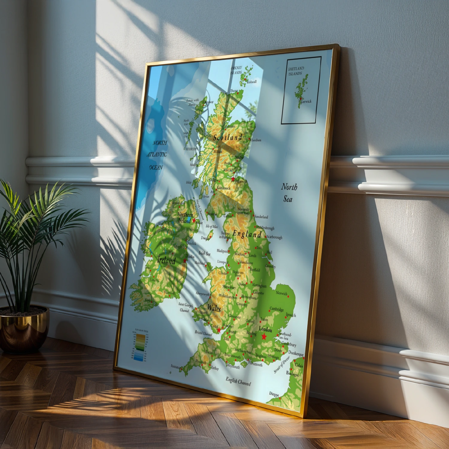
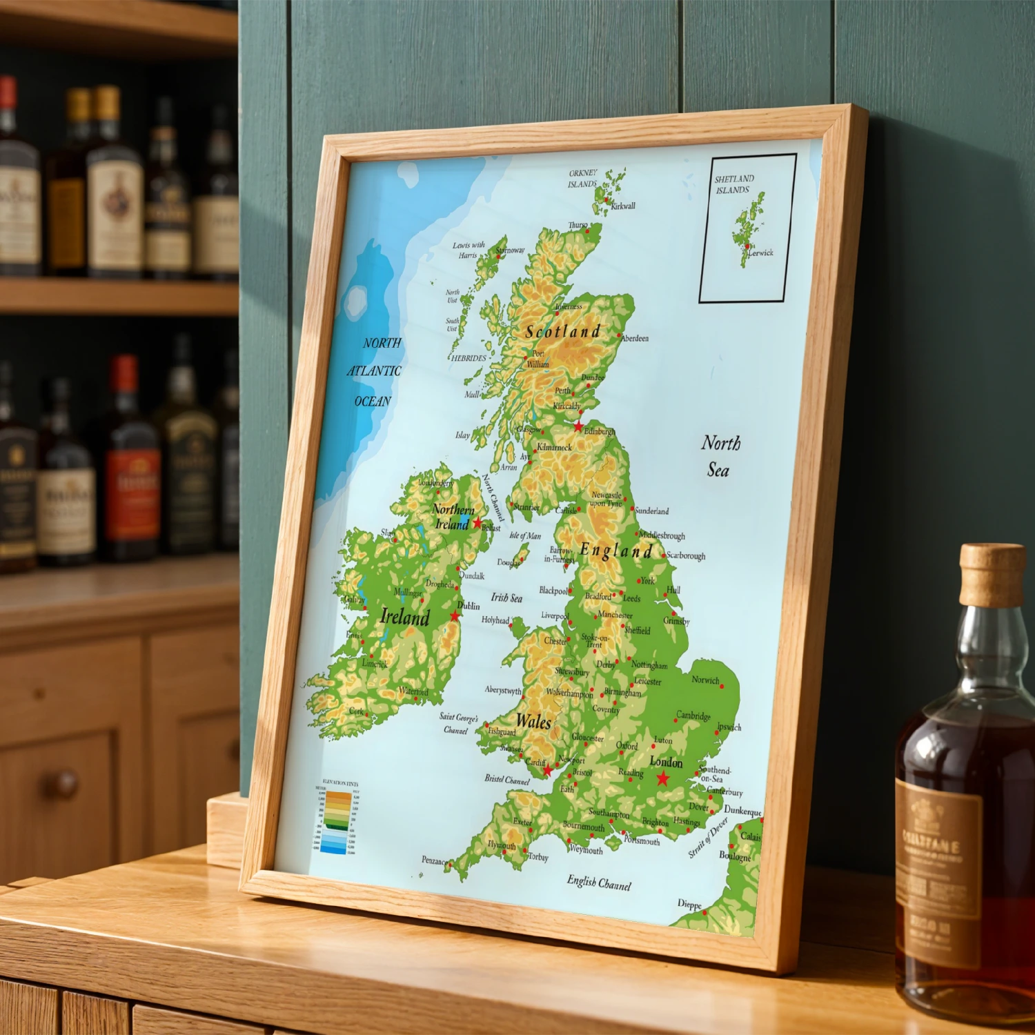
British Isles Topographic Map United Kingdom Reference Poster
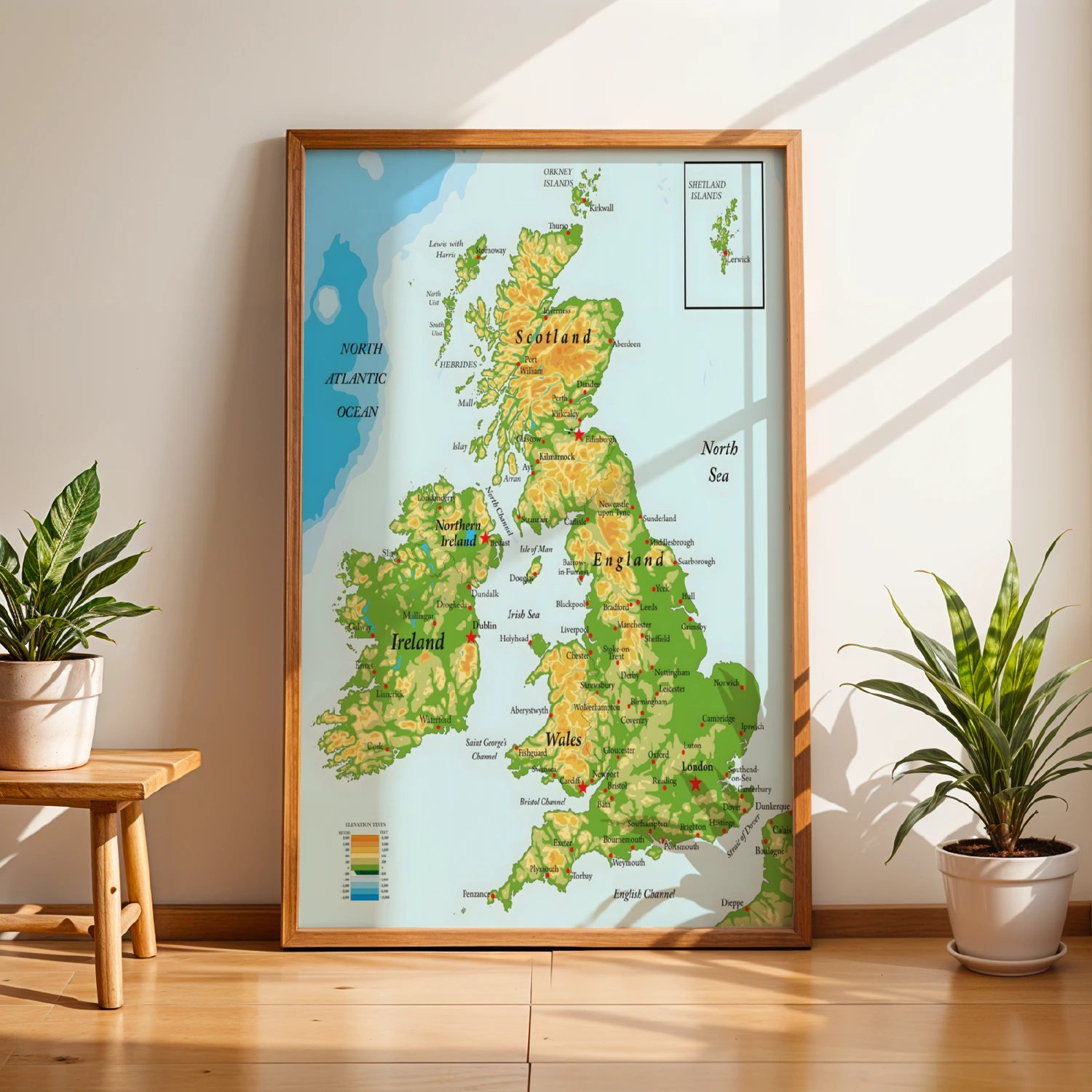
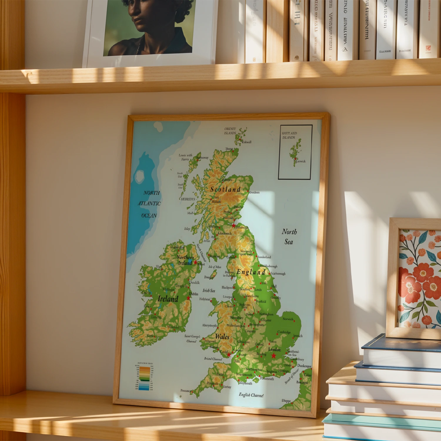
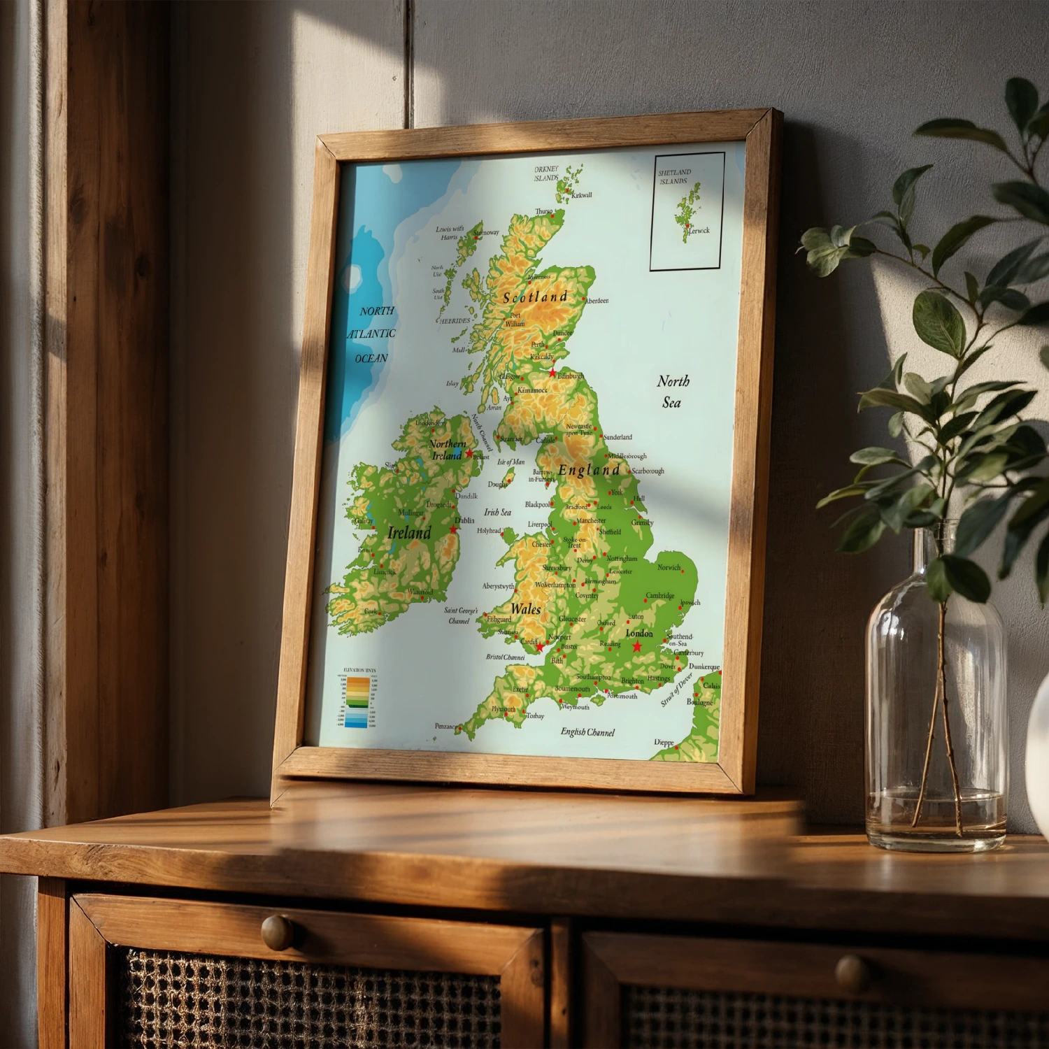
Detailed topographic map of the British Isles — Scotland, England, Wales, Northern Ireland and Ireland with elevation tints, cities, and the Shetland inset.
Description
This handsome reference map renders the British Isles in classic cartographic style: elevation-tinted highlands, labeled cities from London to Edinburgh, surrounding seas, and an inset of the Shetland Islands. The soft green-and-amber palette and fine typography make it as decorative as it is informative. Ideal for studies, libraries, and Anglophile walls.