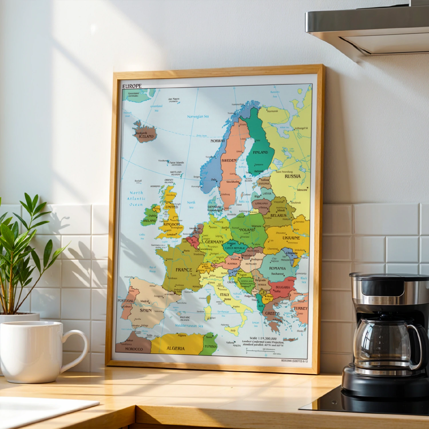
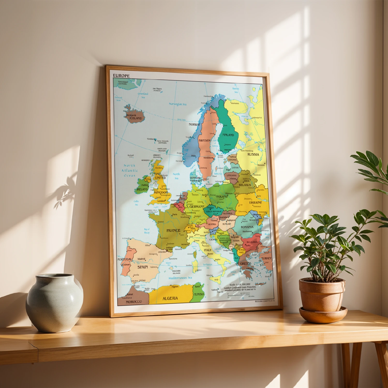
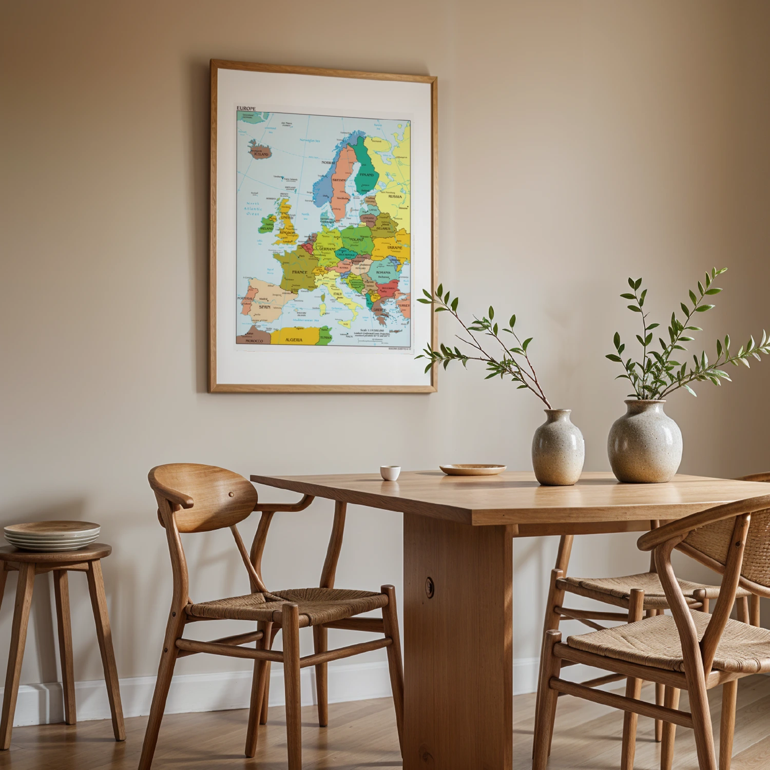
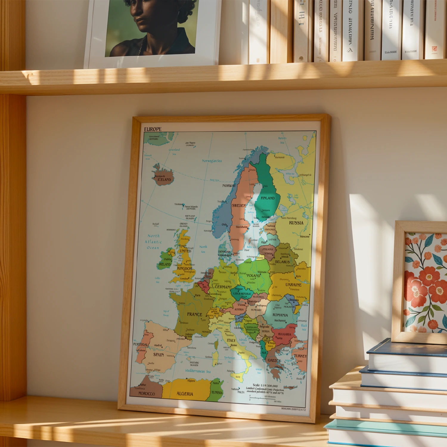
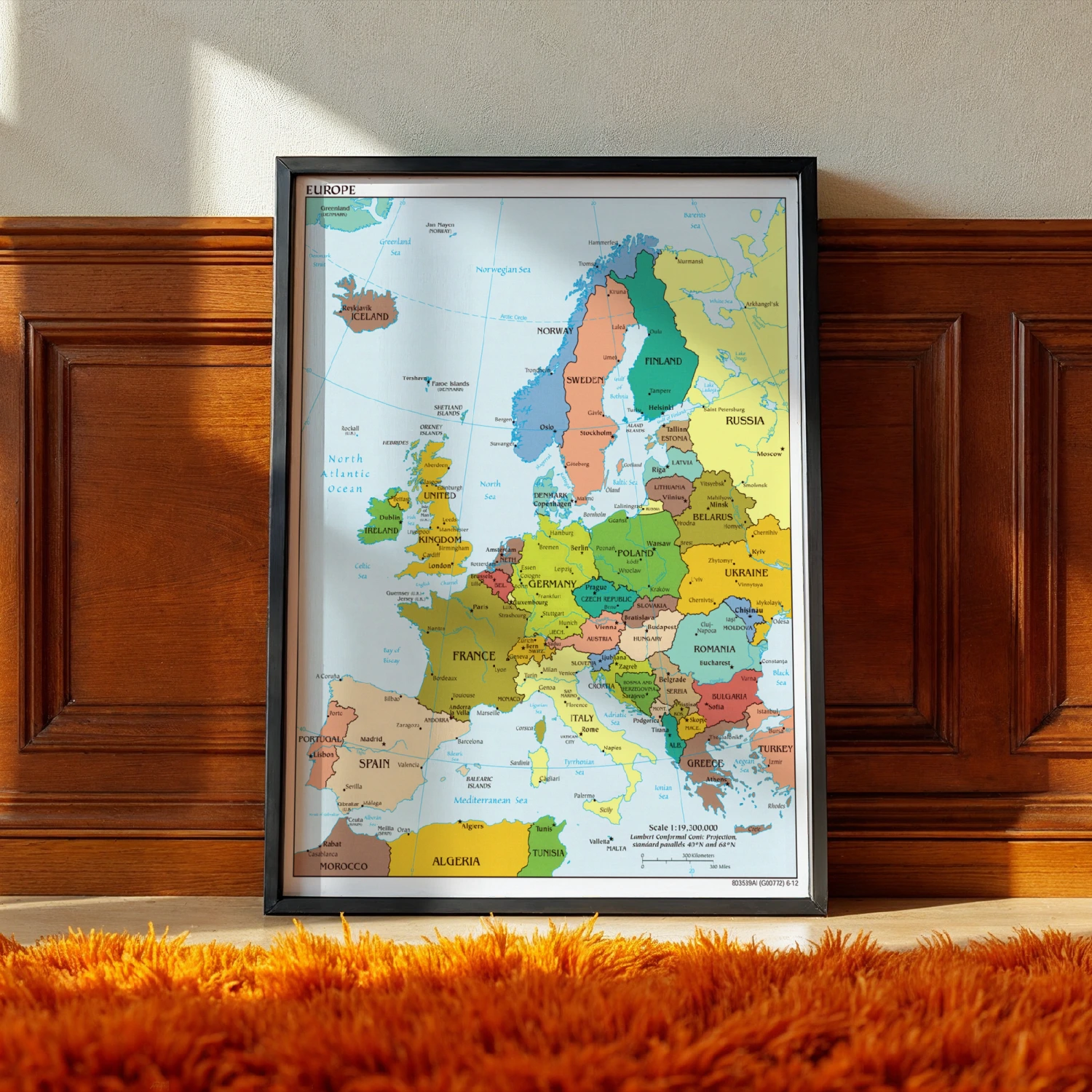
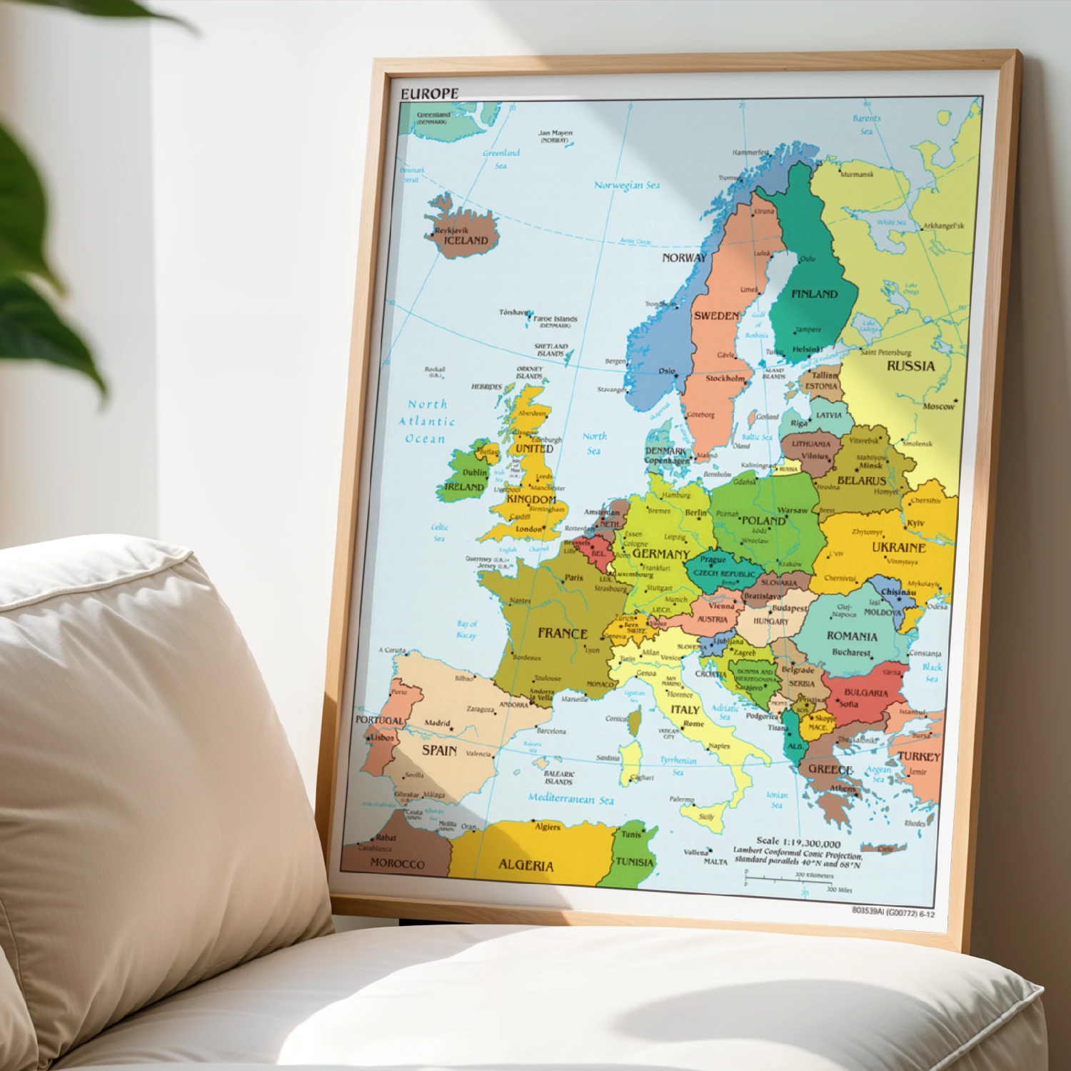
Europe Political Map Detailed Country Borders Cartography Poster
A detailed political map of Europe with country borders, capitals and seas. Classic cartography decor for offices and classrooms.
Description
This detailed Europe wall map shows every country with its capital, major cities, seas and islands in soft Lambert conformal conic projection cartography. At a 1:19,300,000 scale, it is ideal for classrooms, offices and geography lovers.