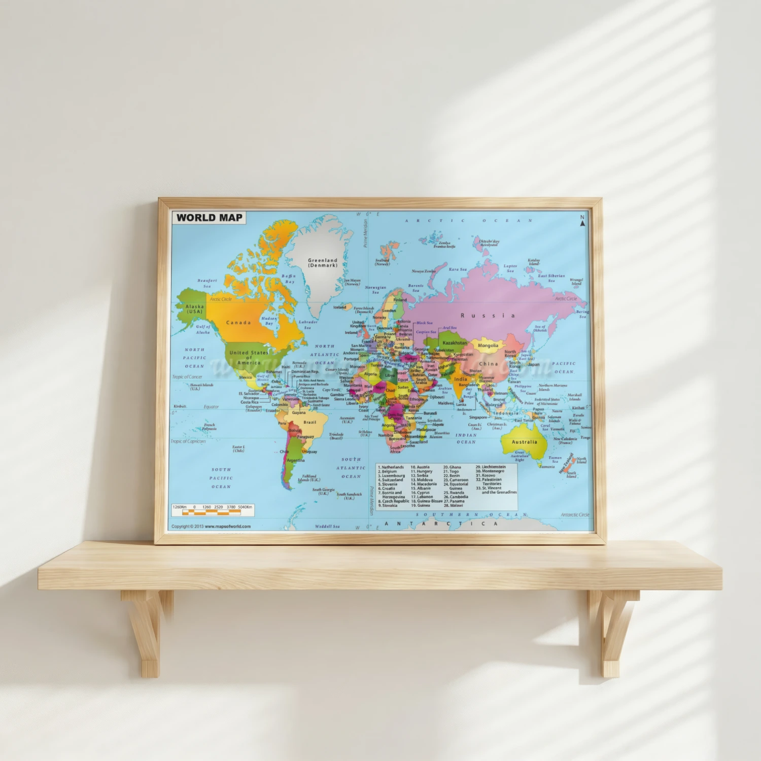
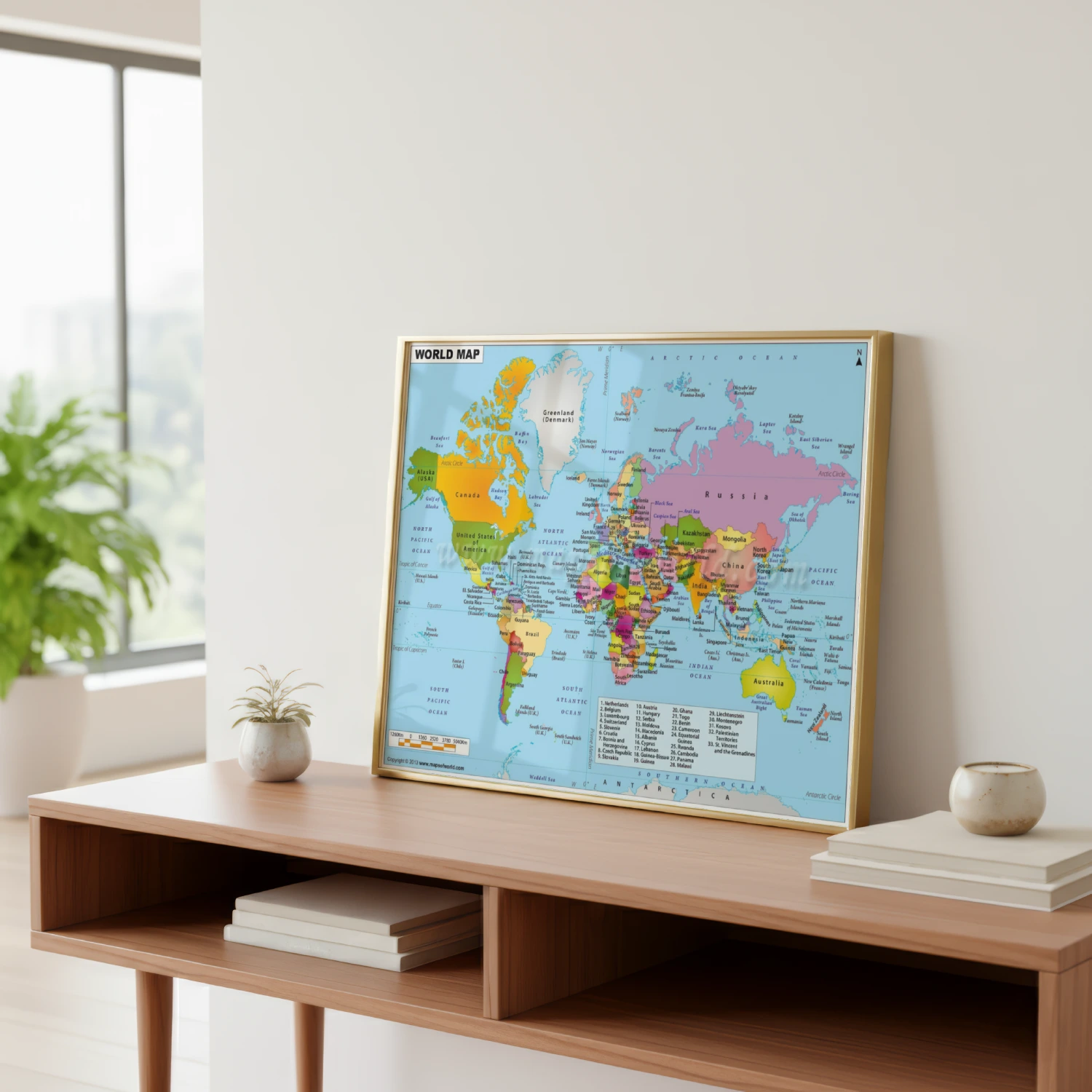
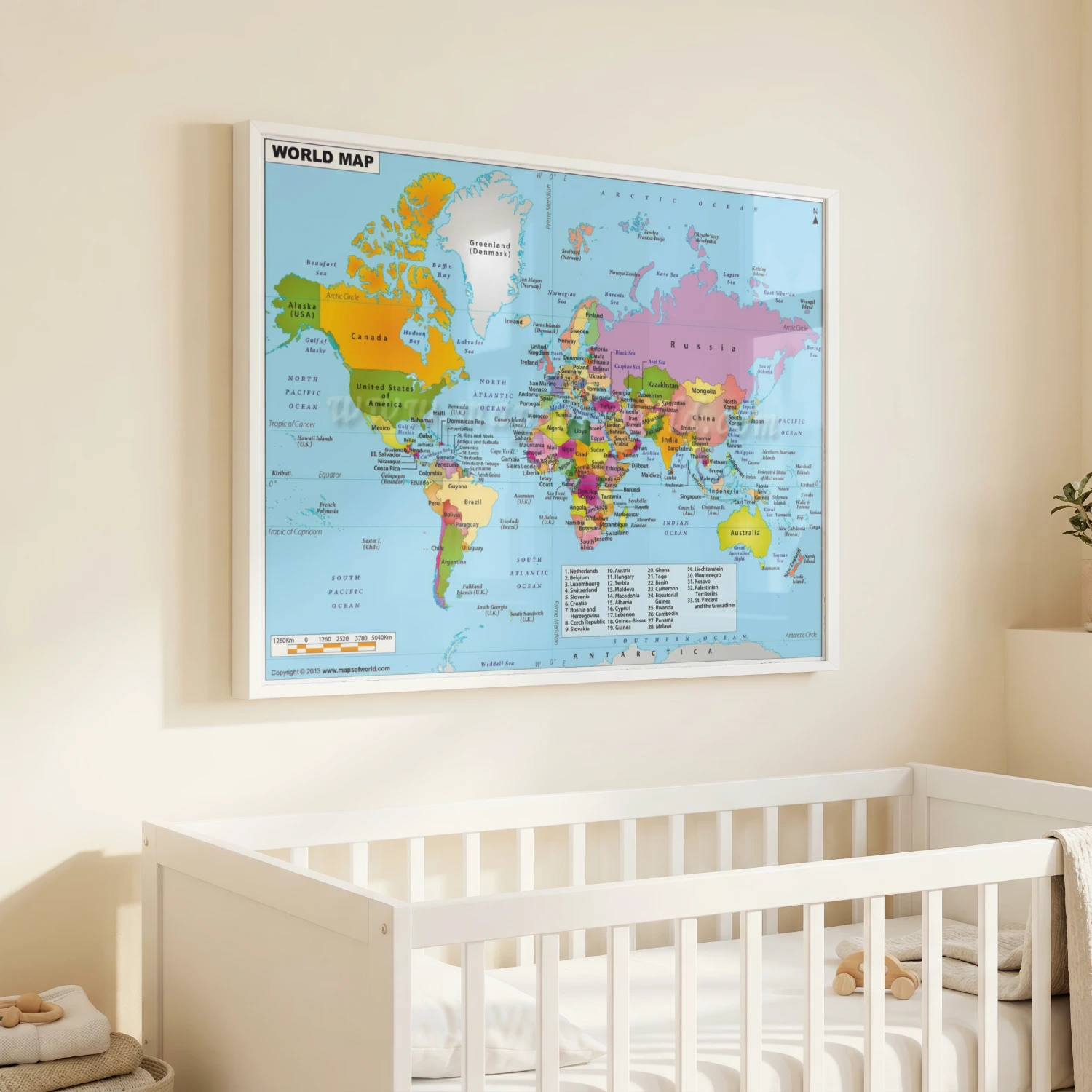
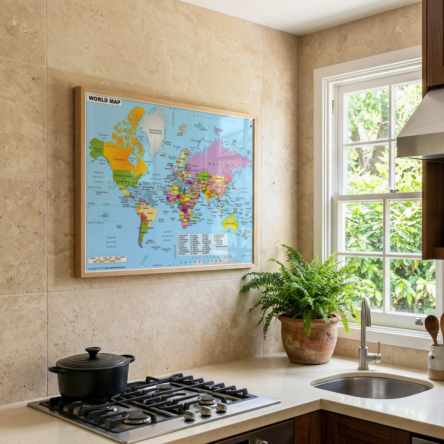
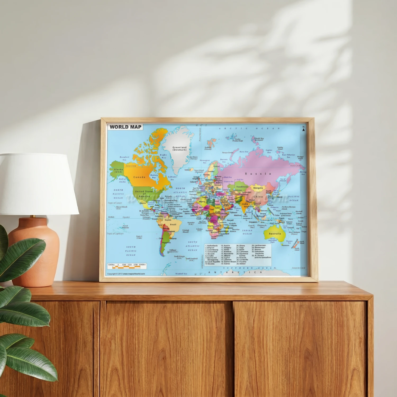
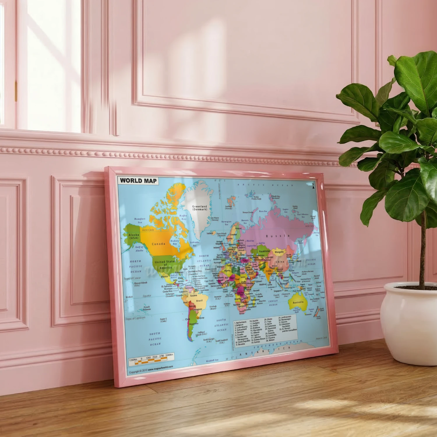
Detailed World Map Countries Continents Educational Art Print
A full-color political world map with labeled countries, seas, and regions for home or classroom.
Description
This detailed world map presents every country, capital region label, ocean, and sea in a bright, easy-to-read political style. A numbered legend covers Europe and the Caribbean for smaller nations. Ideal wall art for classrooms, home offices, and travel dreamers who want the whole world at a glance.