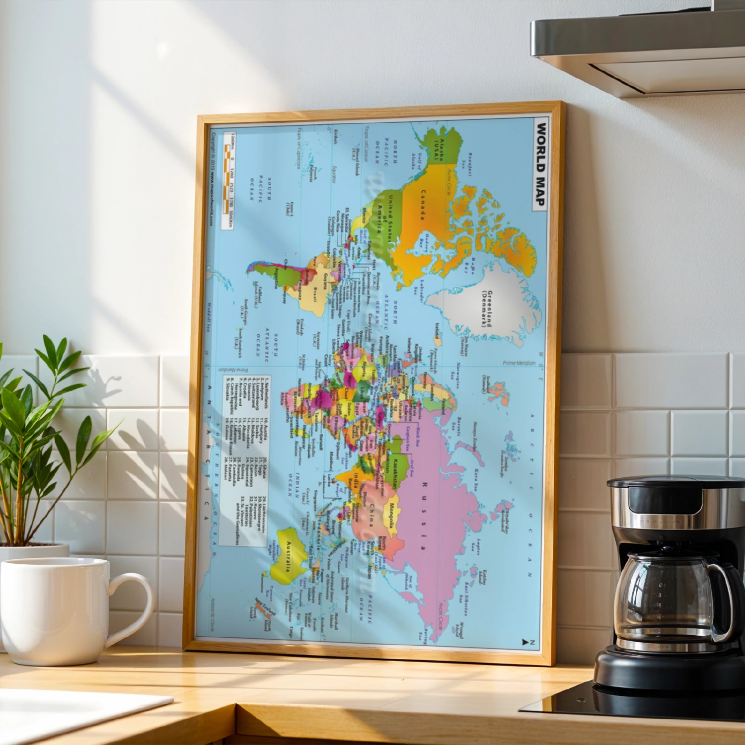
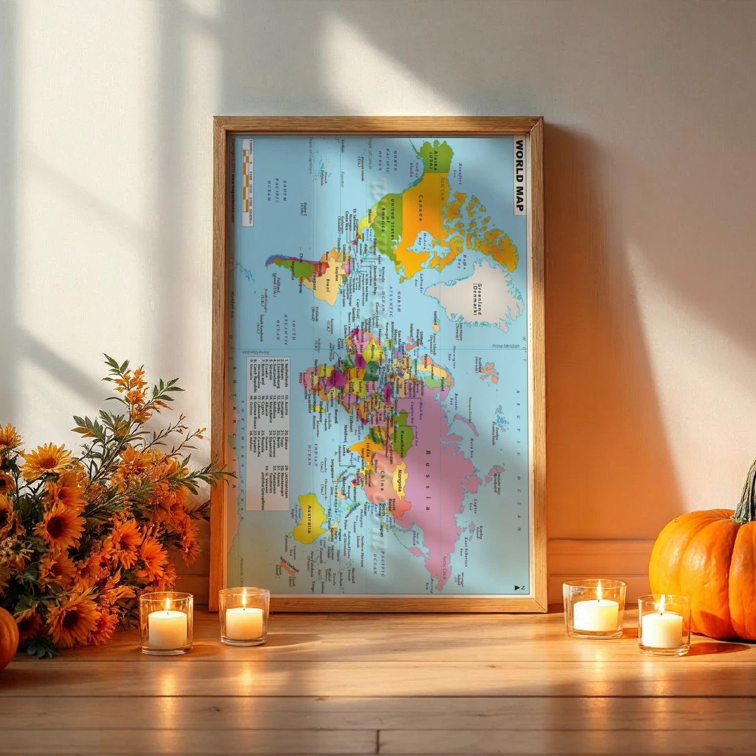
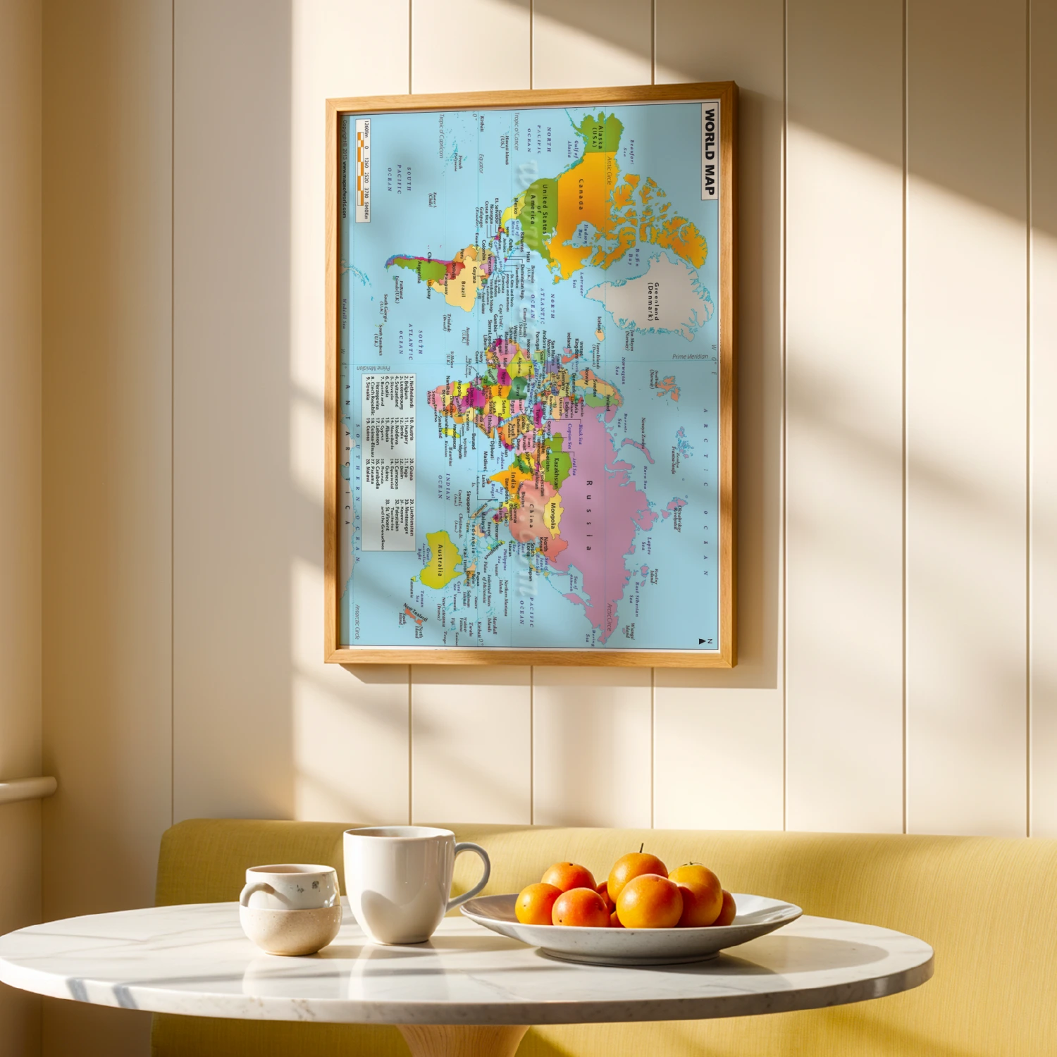
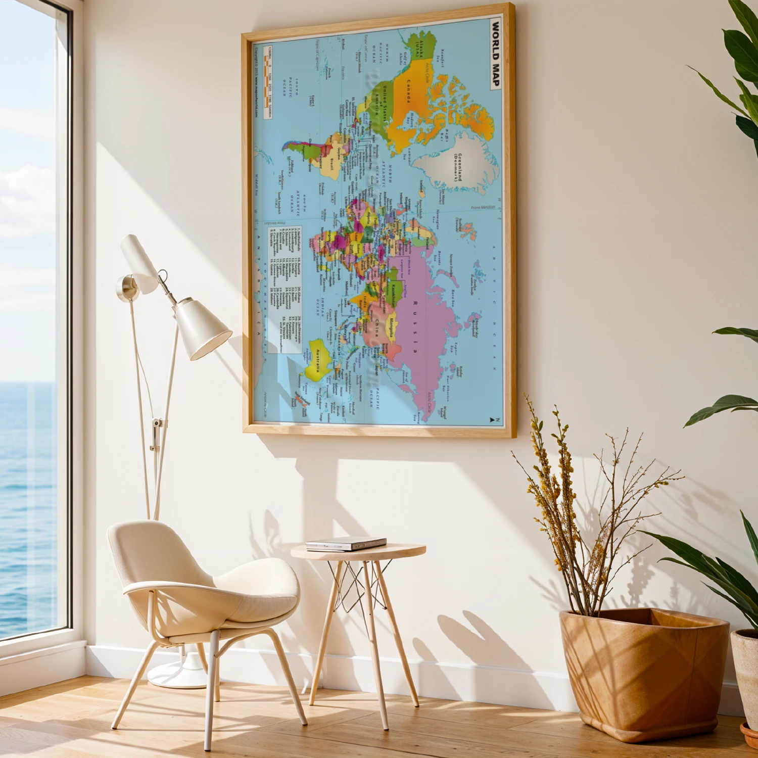
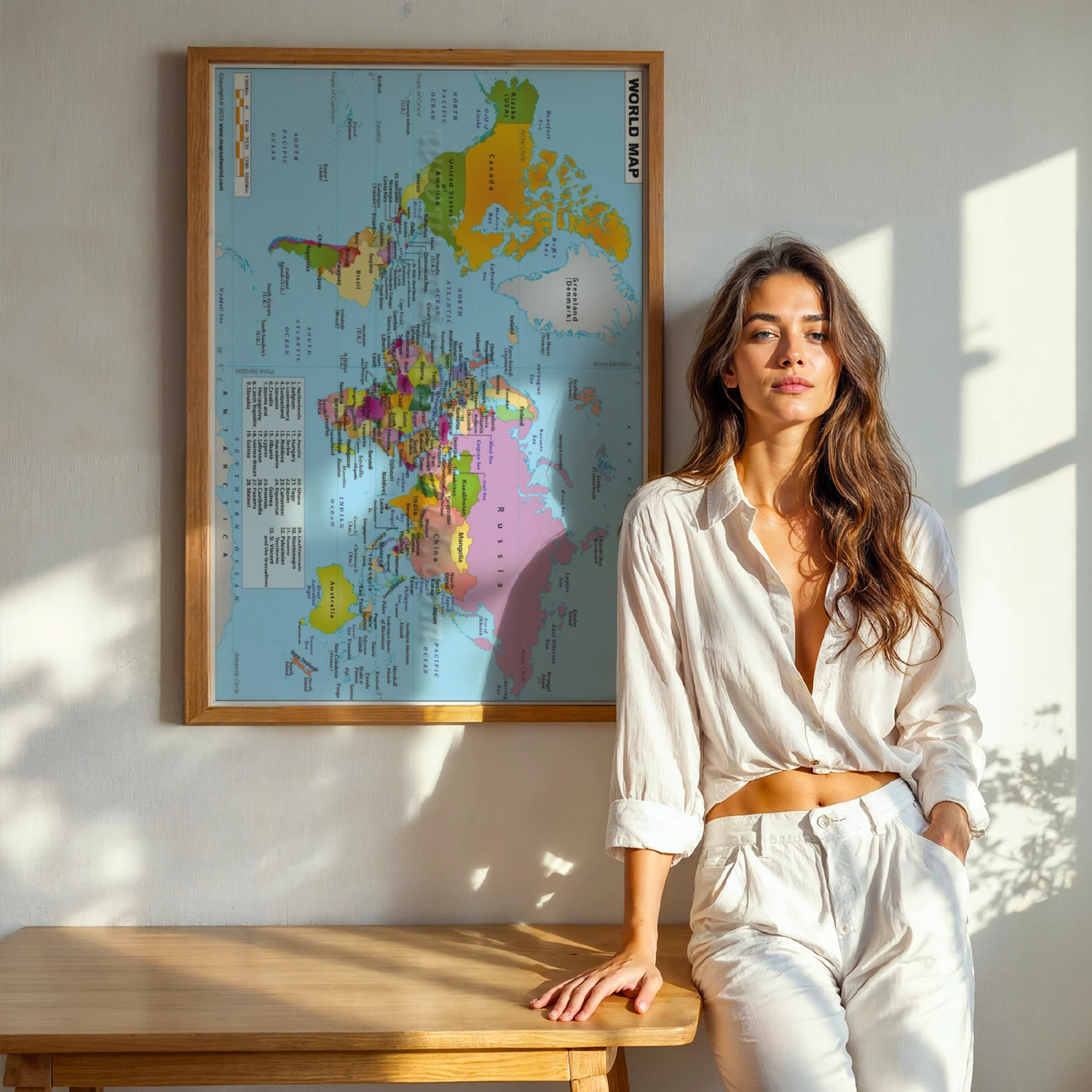
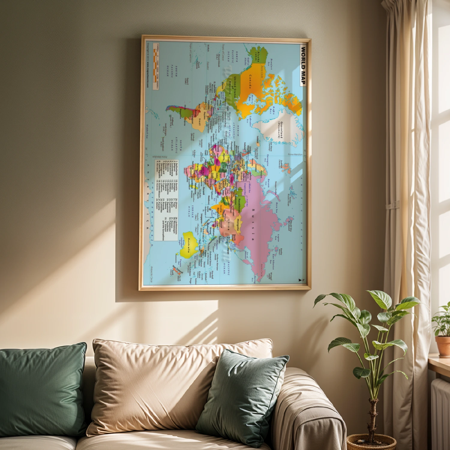
Colorful Political World Map Countries Oceans Educational Wall Art
Bright political world map showing countries, oceans, tropics and scale bars in clear educational detail. Ideal for classrooms, offices and curious kids.
Description
Full-color political world map with countries shaded for easy identification, labeled oceans, the equator, tropics, prime meridian and a distance scale bar. A numbered legend lists smaller European and Caribbean nations. Printed in the clear cartographic style of mapsofworld.com, it makes an informative and attractive wall chart for study rooms and classrooms.