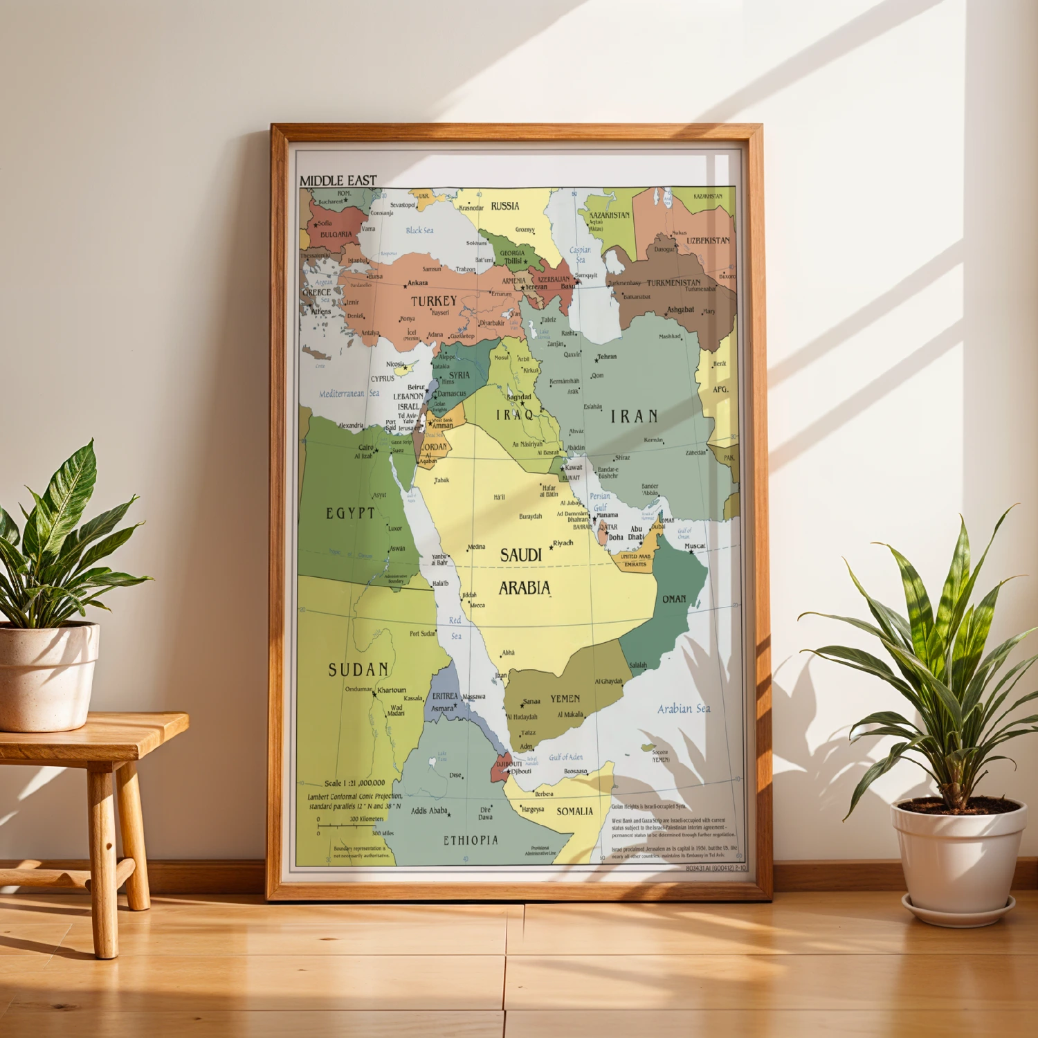
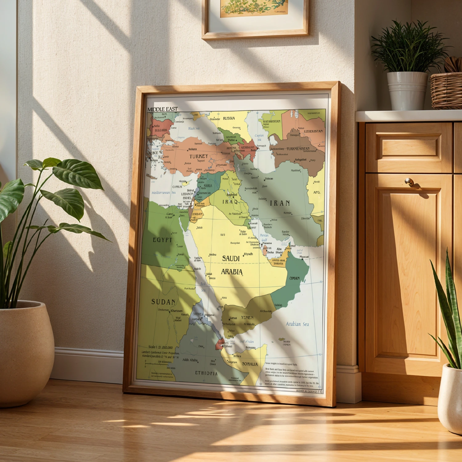
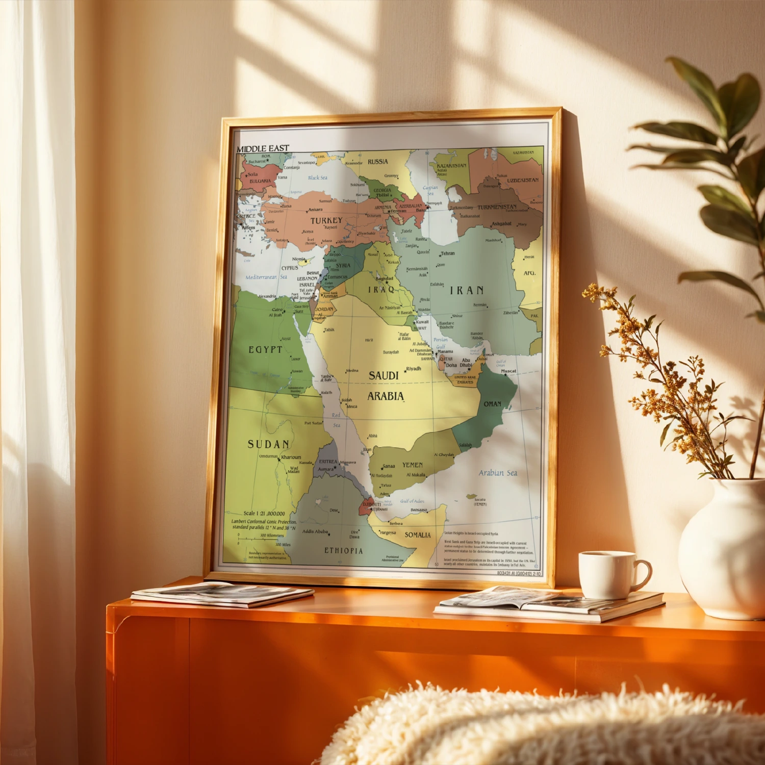
Detailed Middle East Political Map Countries Borders Educational Print
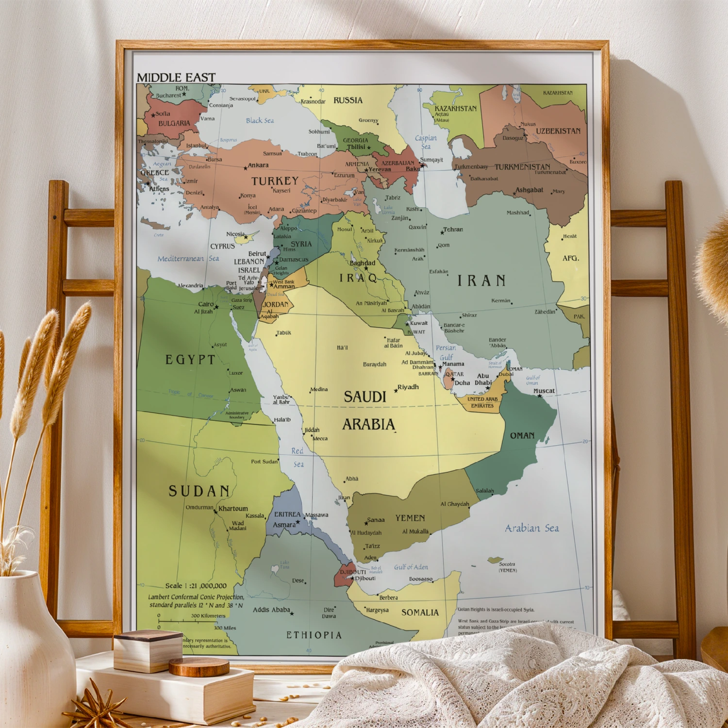
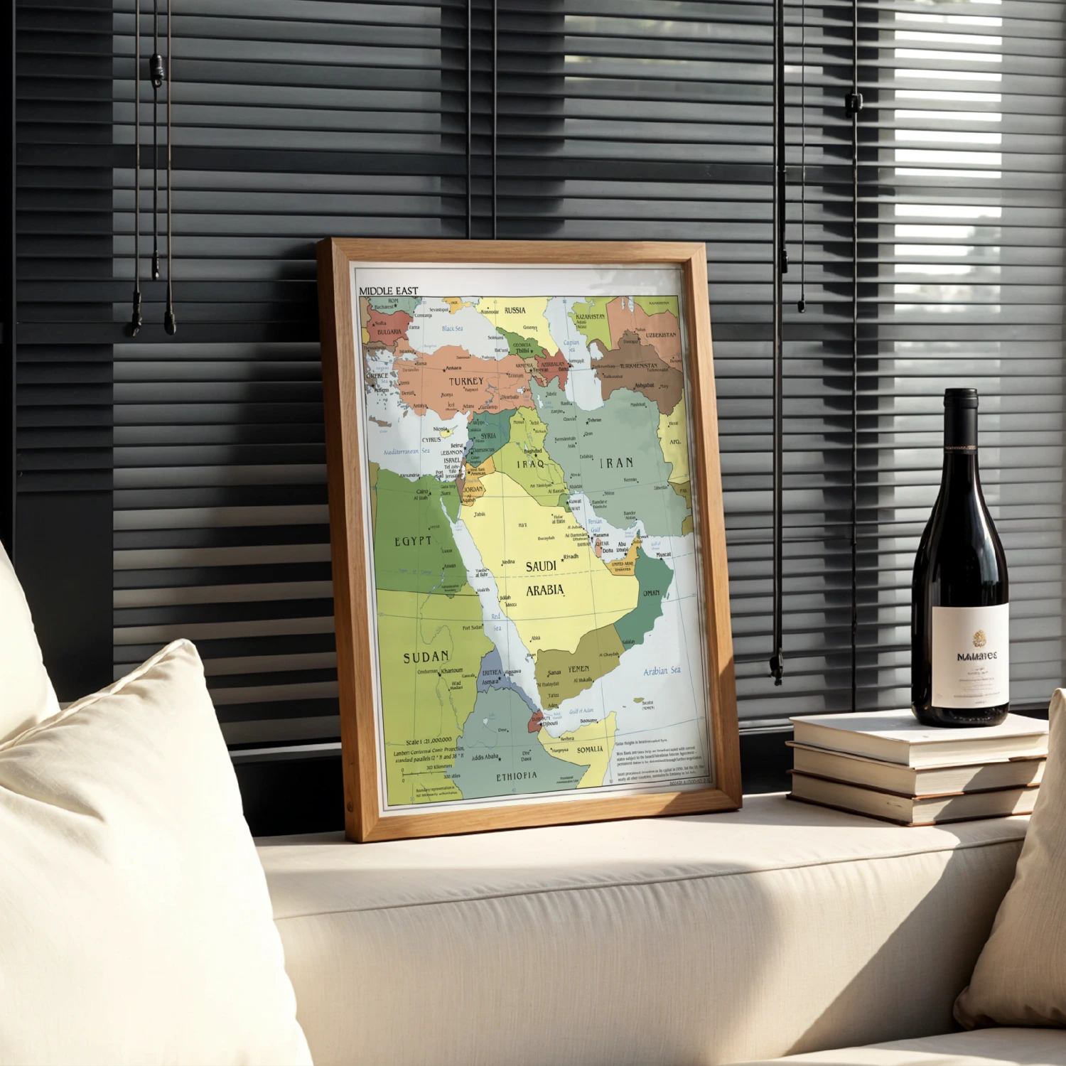
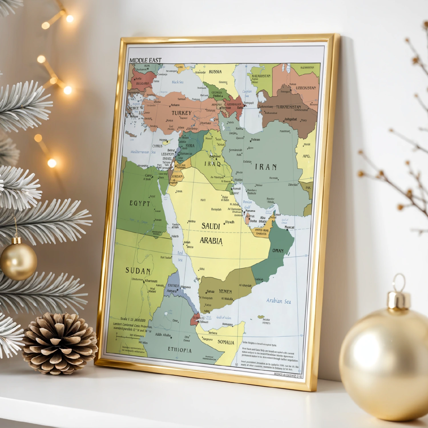
A detailed political map of the Middle East with country borders, capitals and cities. A 1:21,000,000 scale reference in classic cartography style.
Description
This educational print presents a detailed political map of the Middle East at 1:21,000,000 scale, showing countries from Turkey and Egypt to Iran, Saudi Arabia, Iraq and Yemen with capitals, cities and borders in classic cartographic colors. A practical reference chart for classrooms, offices and home studies.