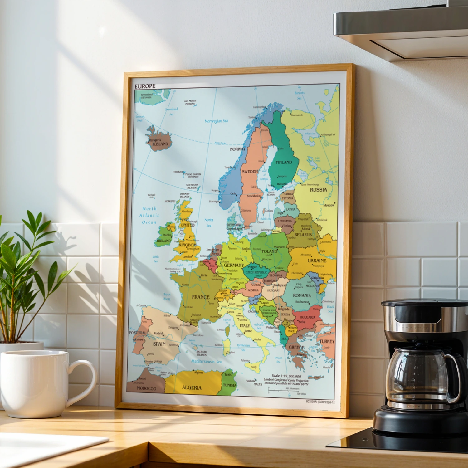
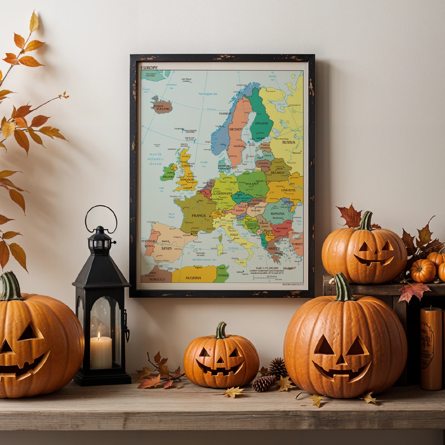
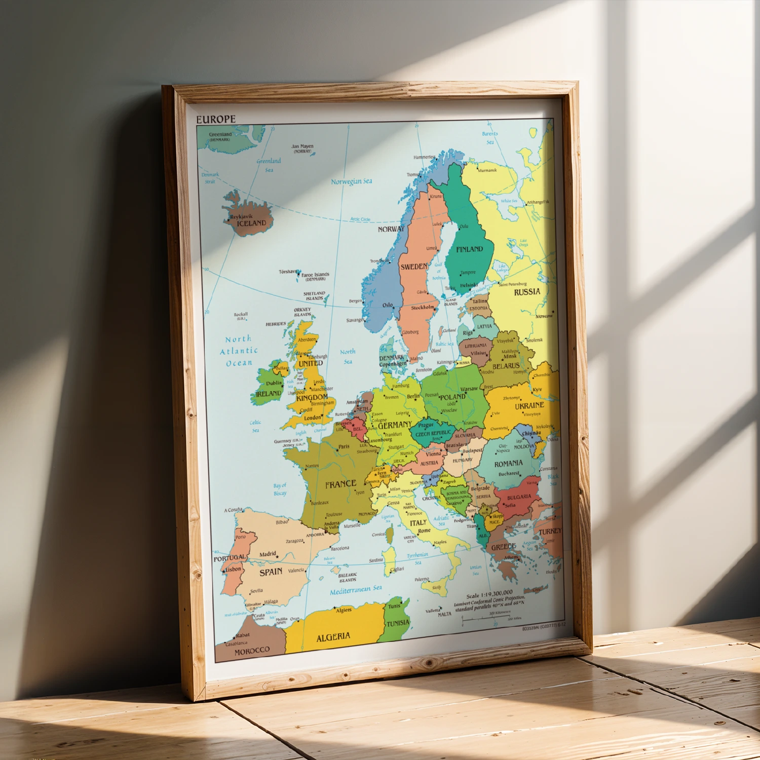
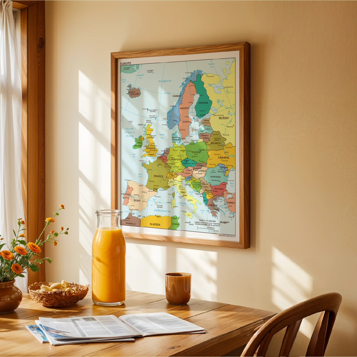
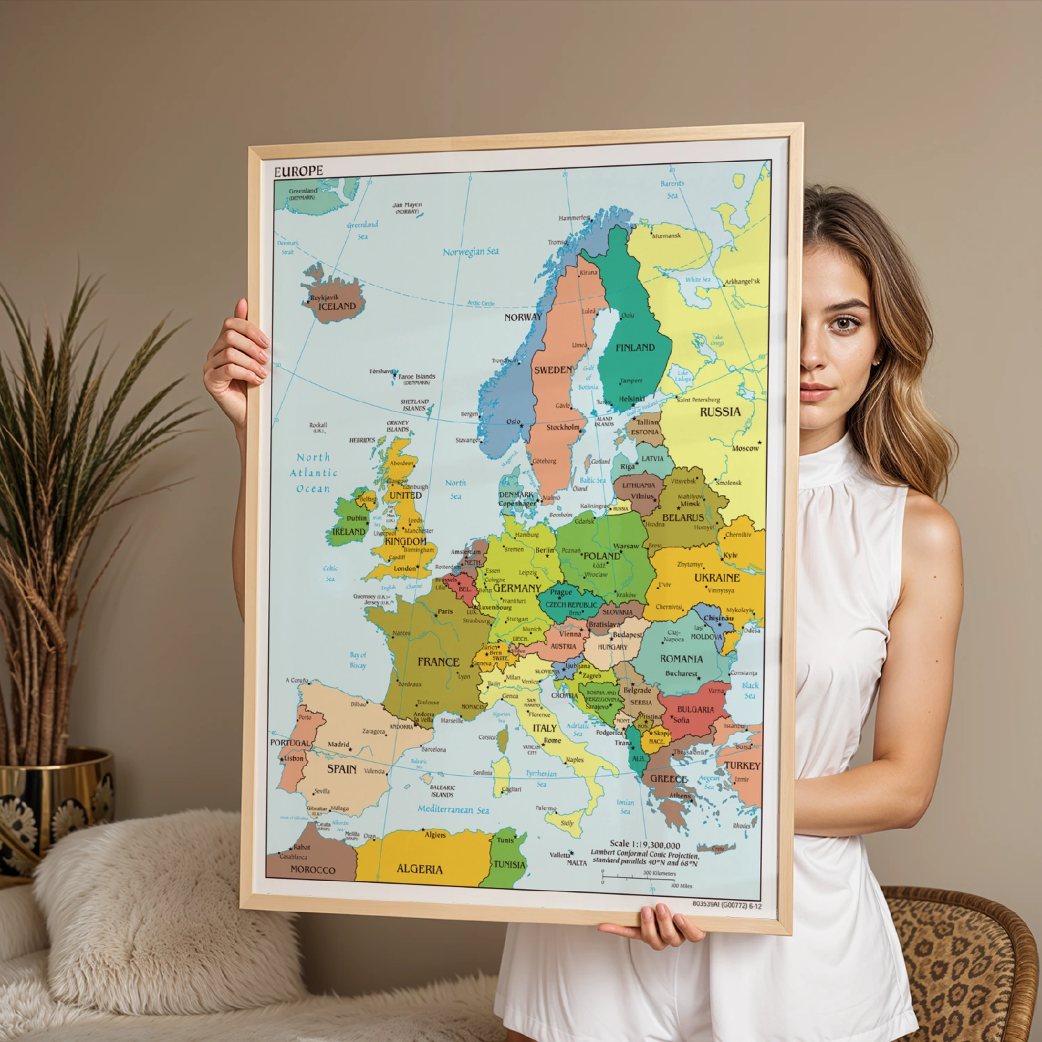
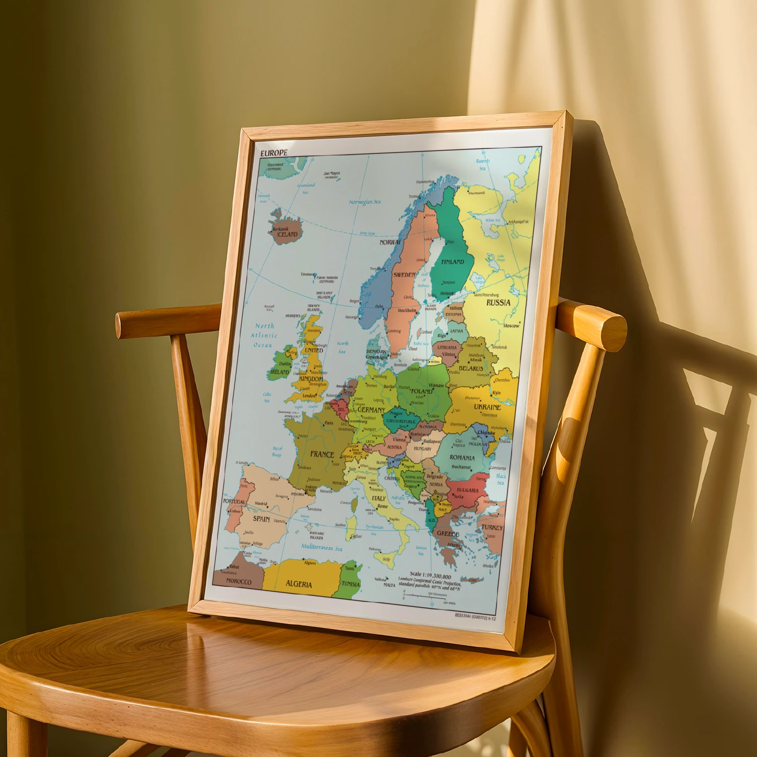
Europe Political Map Countries Capitals Educational Wall Art
A detailed political map of Europe naming every country, capital, and major city from Iceland to Turkey.
Description
Printed at 1:19,300,000 scale, this classic classroom-style map covers Scandinavia to the Mediterranean in crisp color. Ideal for students, teachers, and geography lovers.