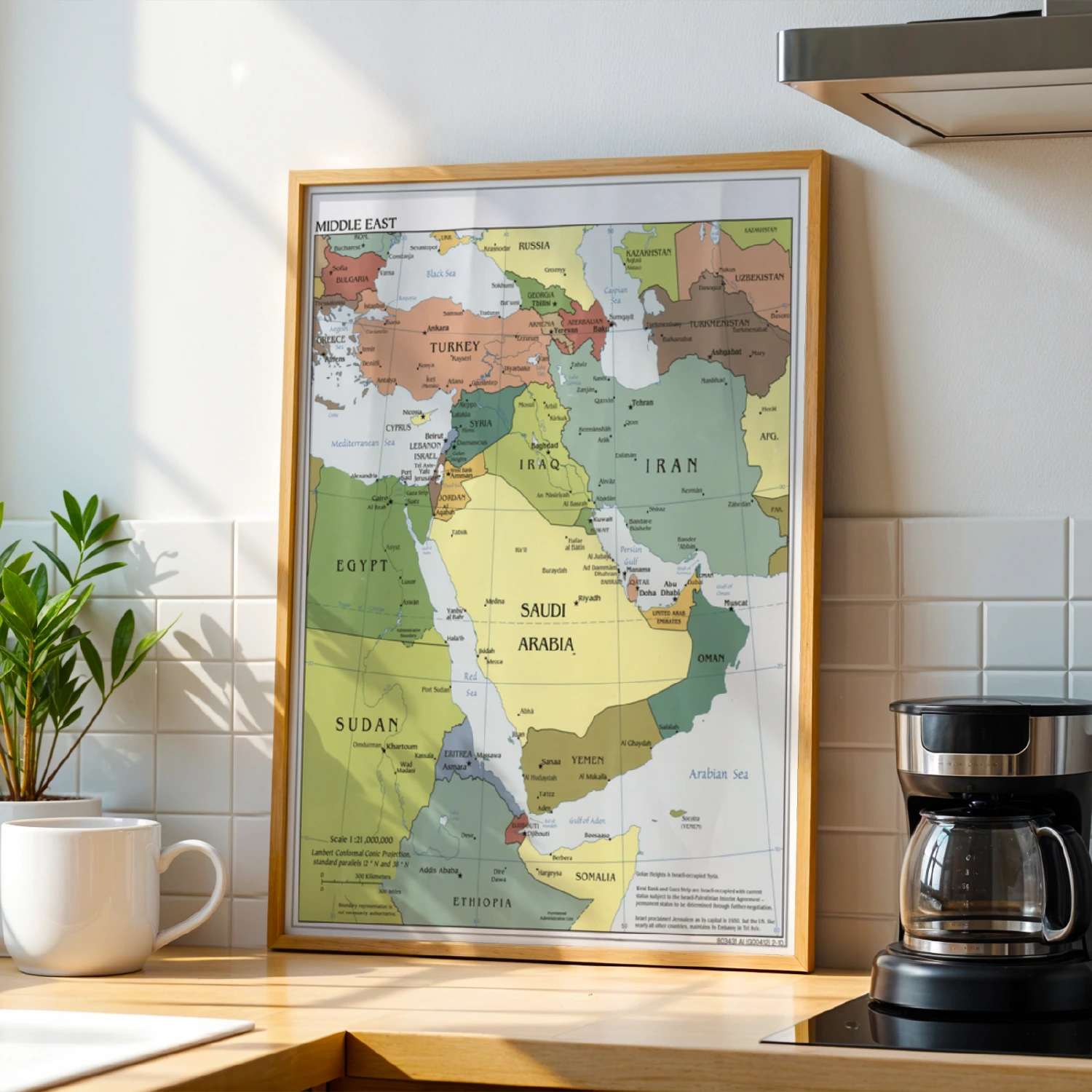
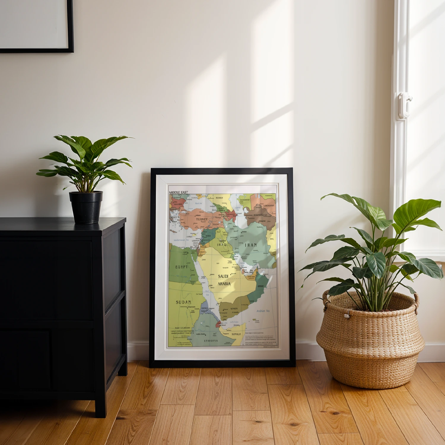

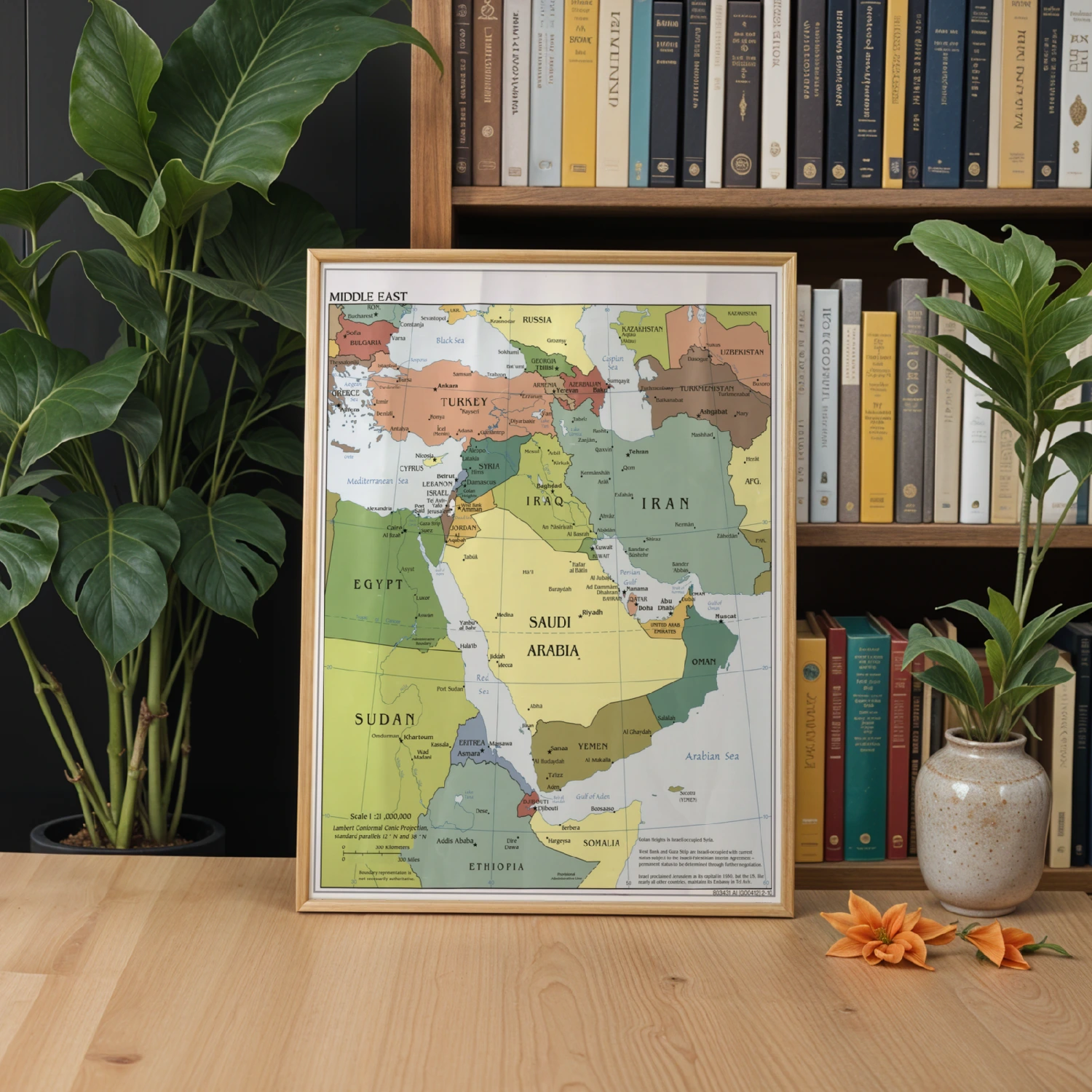
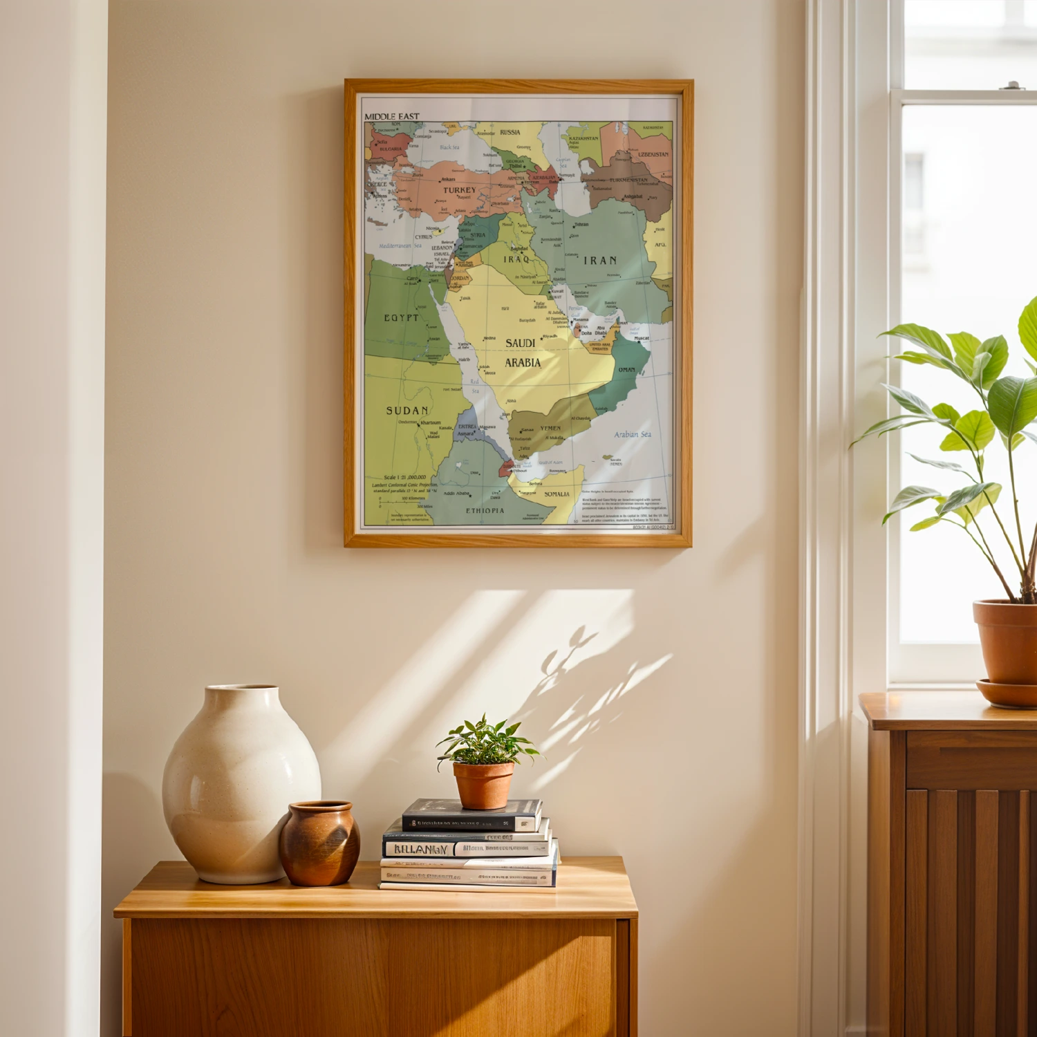
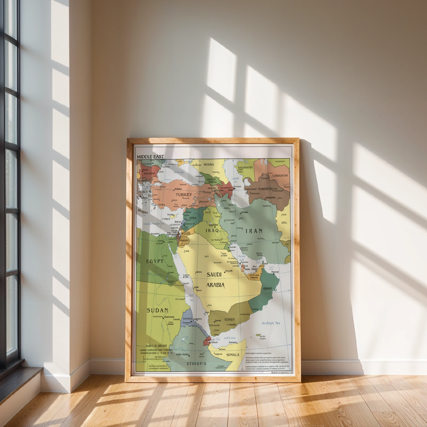
Middle East Political Map Countries and Capitals Educational Wall Art
A detailed political map of the Middle East labeling countries, capitals, and major cities.
Description
This large-format educational map covers the Middle East from Turkey and Egypt to Iran and the Arabian Peninsula, with capitals, cities, and geographic features clearly labeled. Scale 1:21,000,000 with Lambert Conformal Conic projection noted. Ideal for classrooms, offices, and study spaces where a reliable reference map earns its wall space.