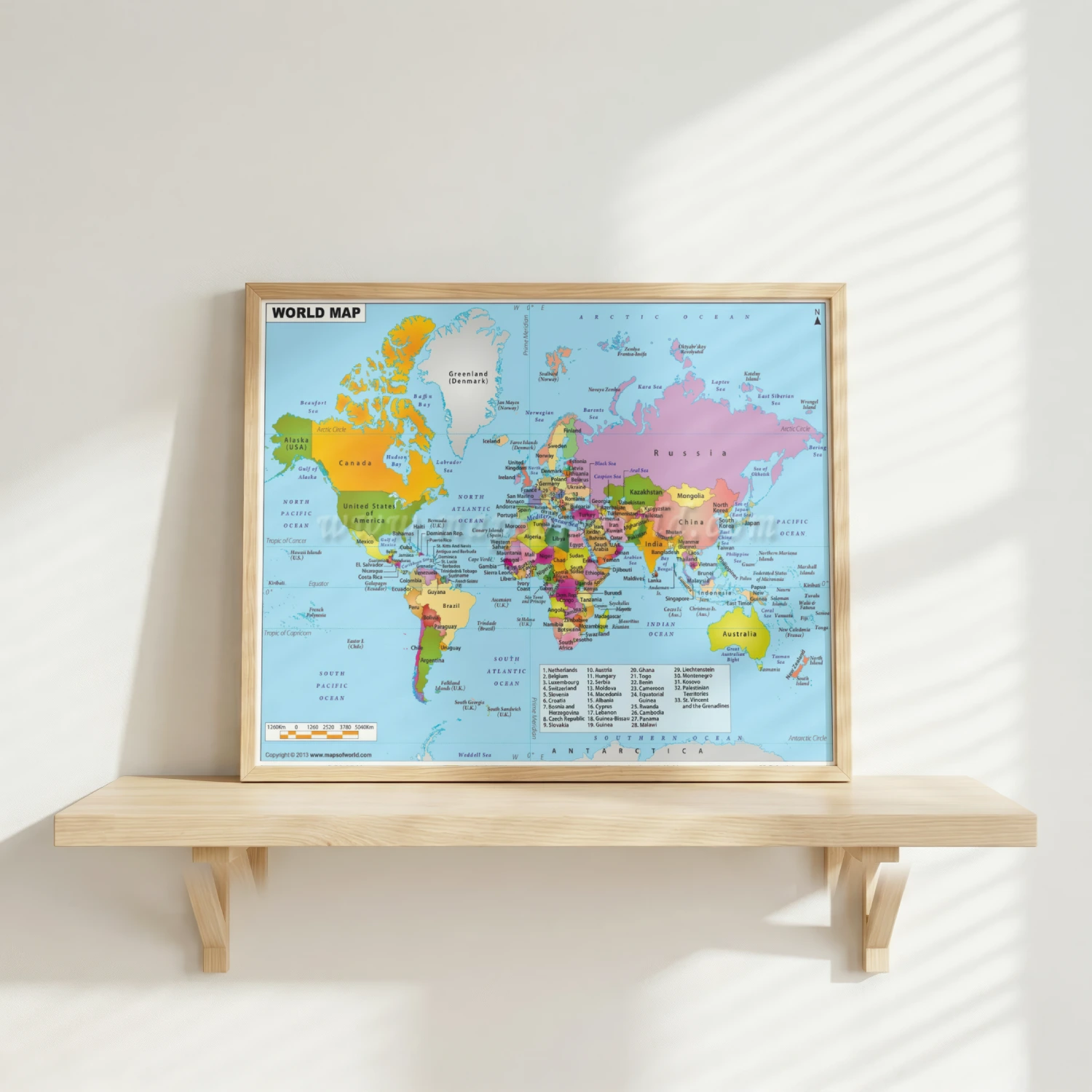

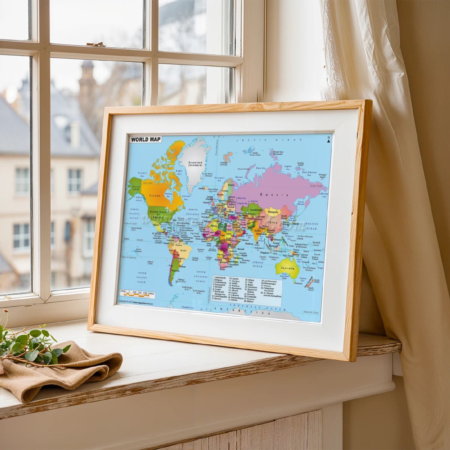
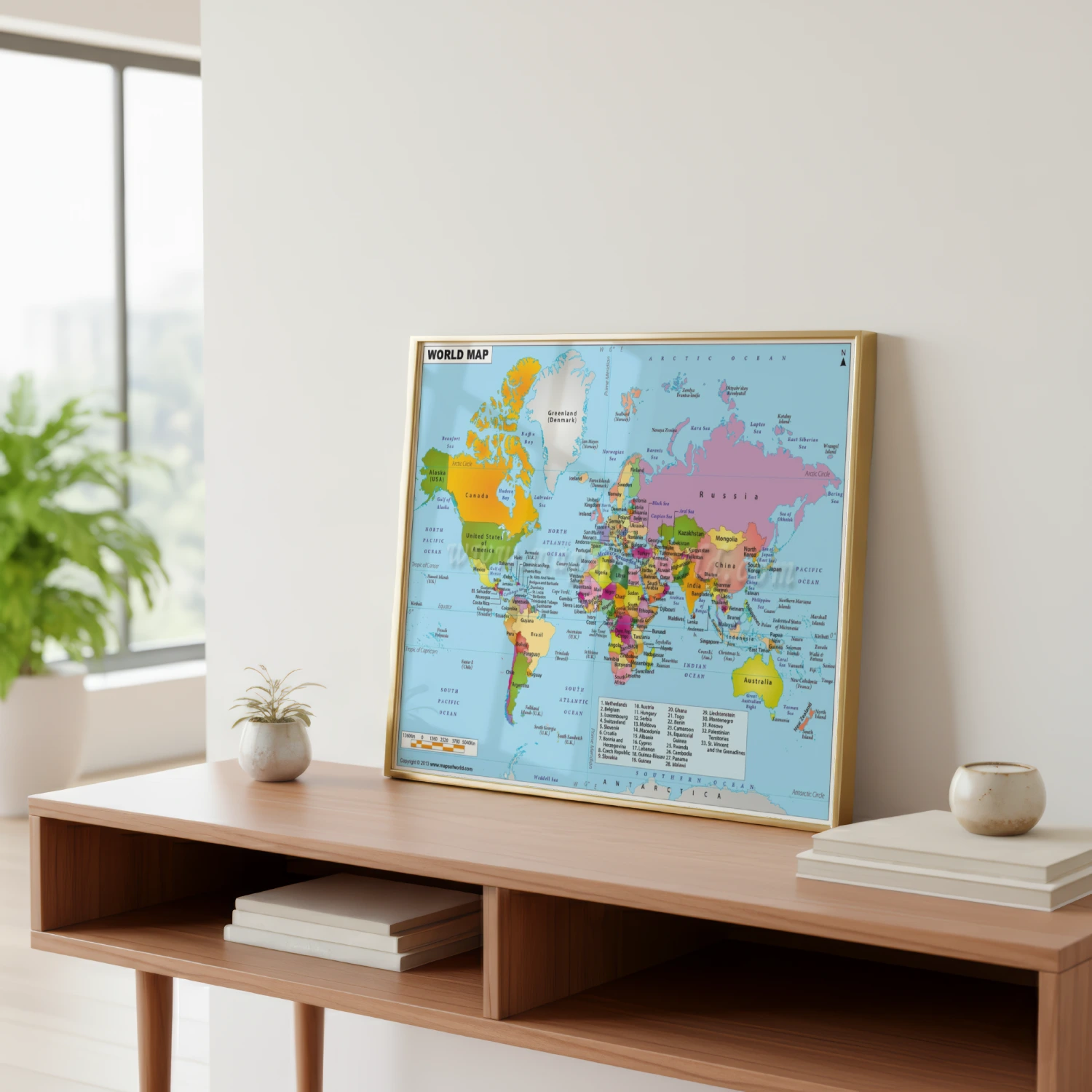
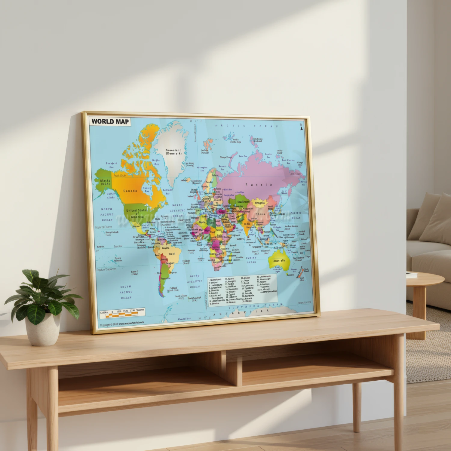
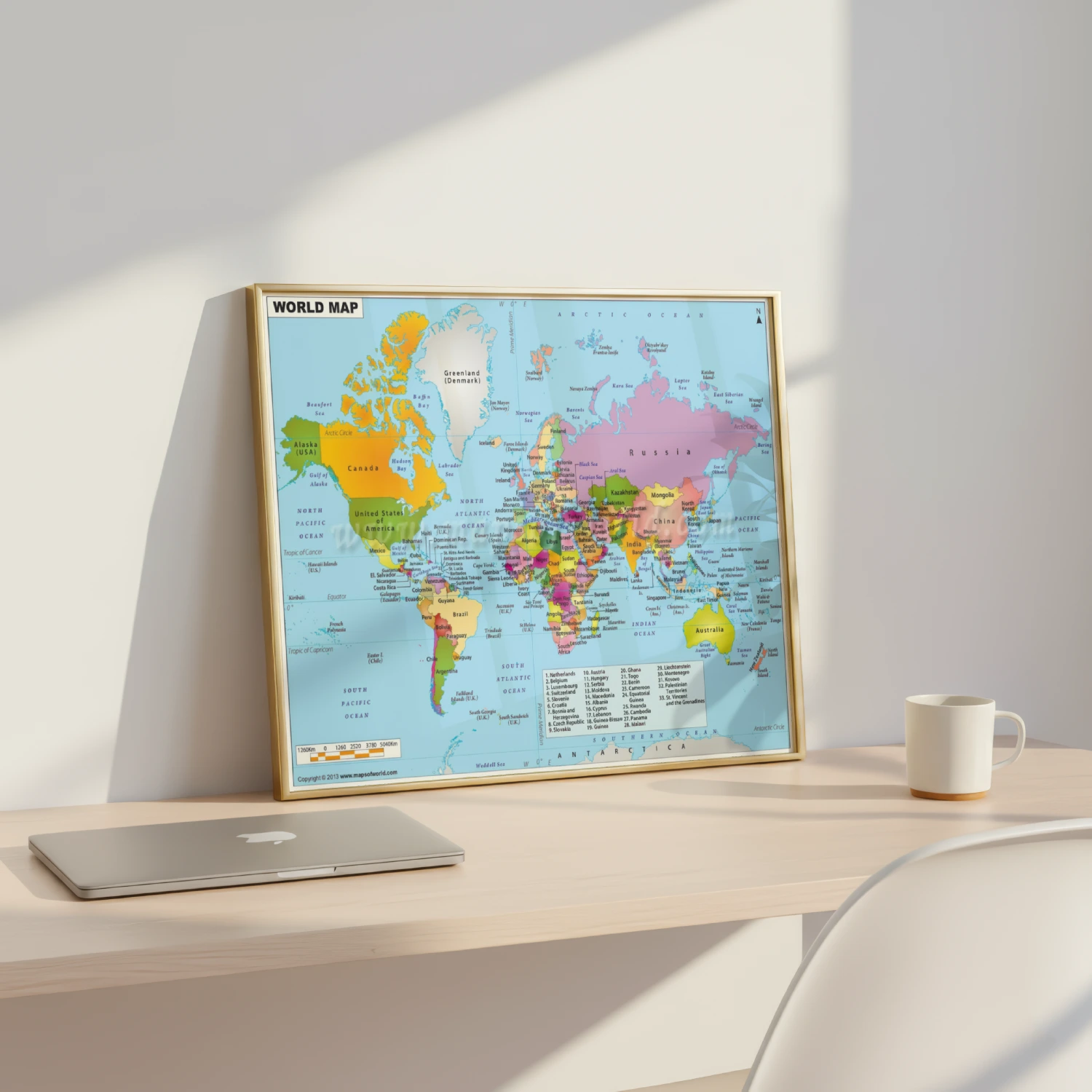
Colorful Political World Map Featuring Every Country And Ocean Poster
A detailed full-color political world map with every country labeled, printed from mapsofworld.com. Ideal for classrooms, offices, and geography lovers.
Description
This 2013 world map print shows every country, ocean, and territory in clear color-coded detail, with Arctic and Antarctic coverage plus a scale bar and an index of small nations. Country names, island territories, and seas are printed sharply across the full design. A practical reference piece for students, teachers, travelers, and map enthusiasts.