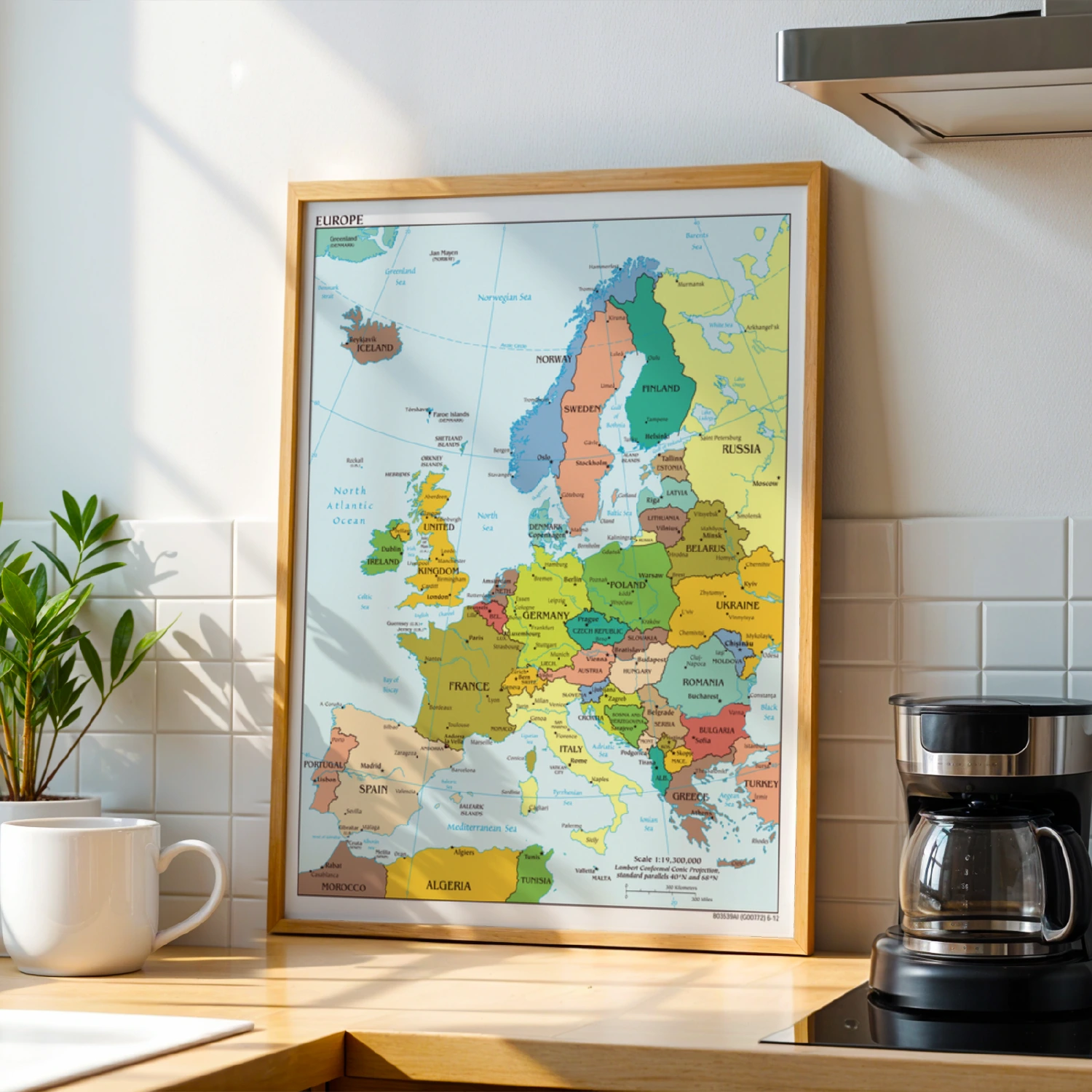
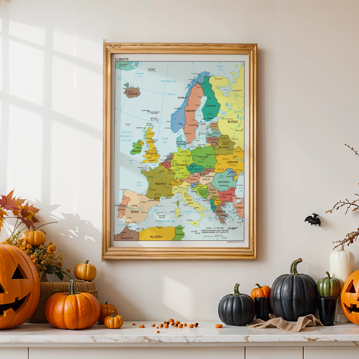
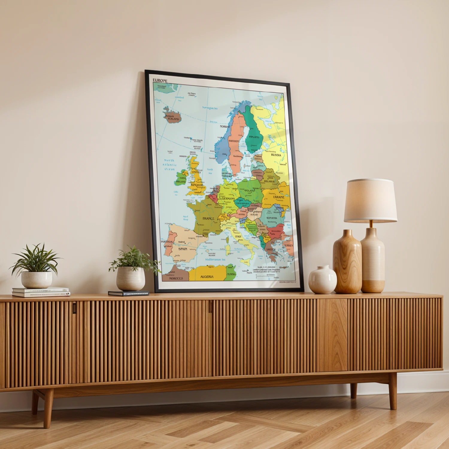
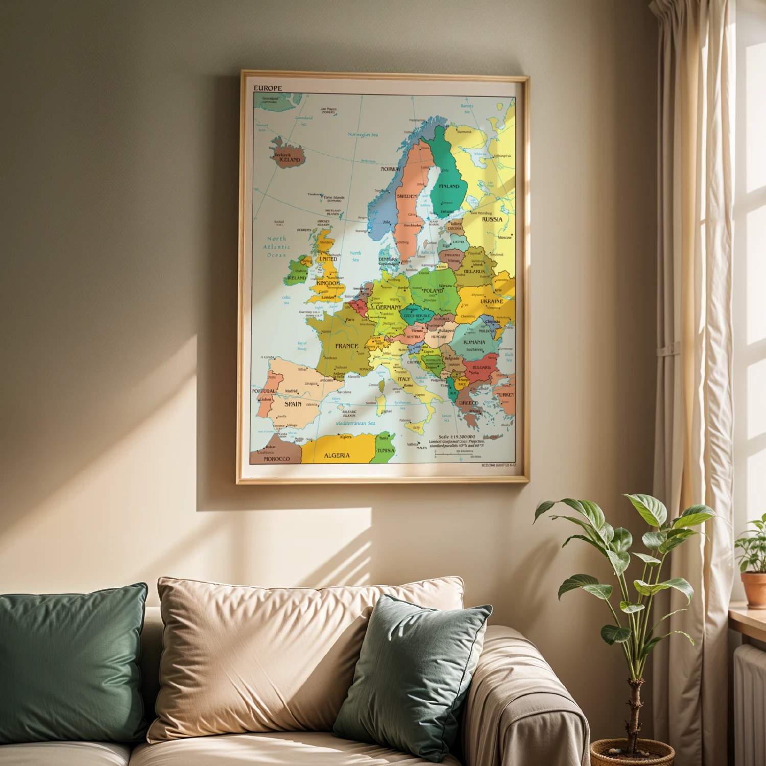
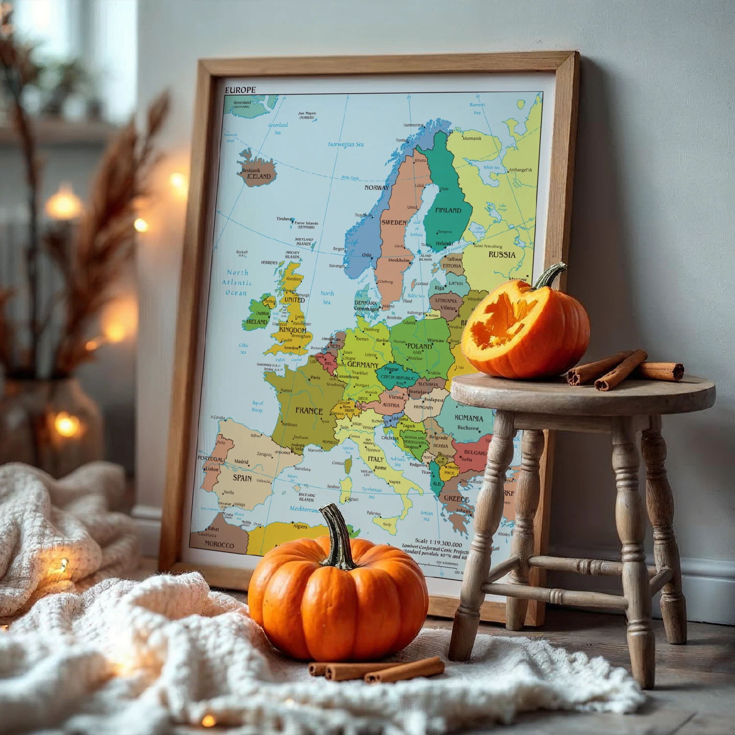
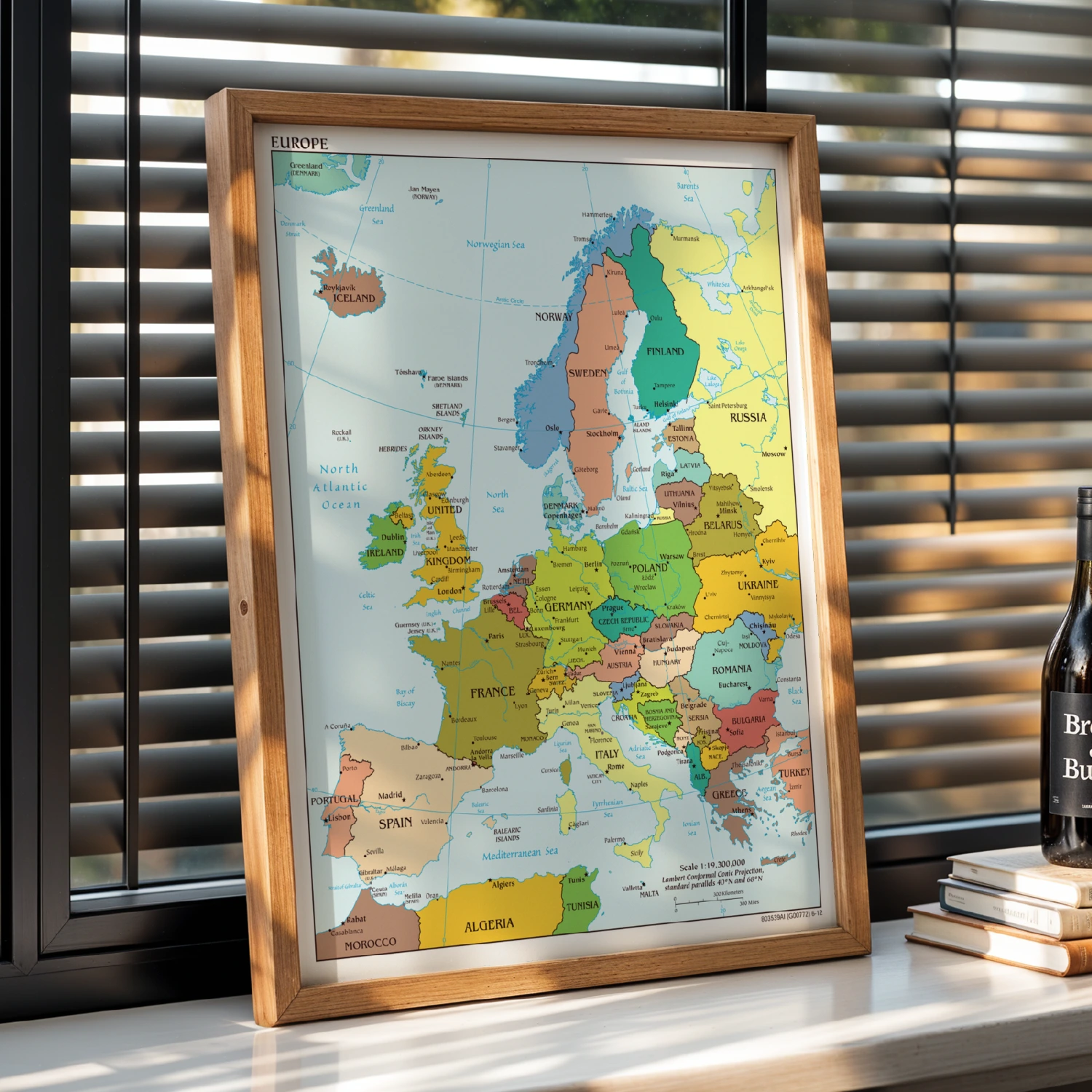
Europe Political Map Poster Detailed Country Borders Cities Oceans Wall Decor
A detailed political map of Europe with every country, capital and sea clearly labeled.
Description
The map shows national borders, capitals, islands and bodies of water from Iceland to Turkey, printed with a Lambert Conformal Conic Projection and a scale of 1:19,200,000. A classic reference piece for classrooms, offices and geography lovers.