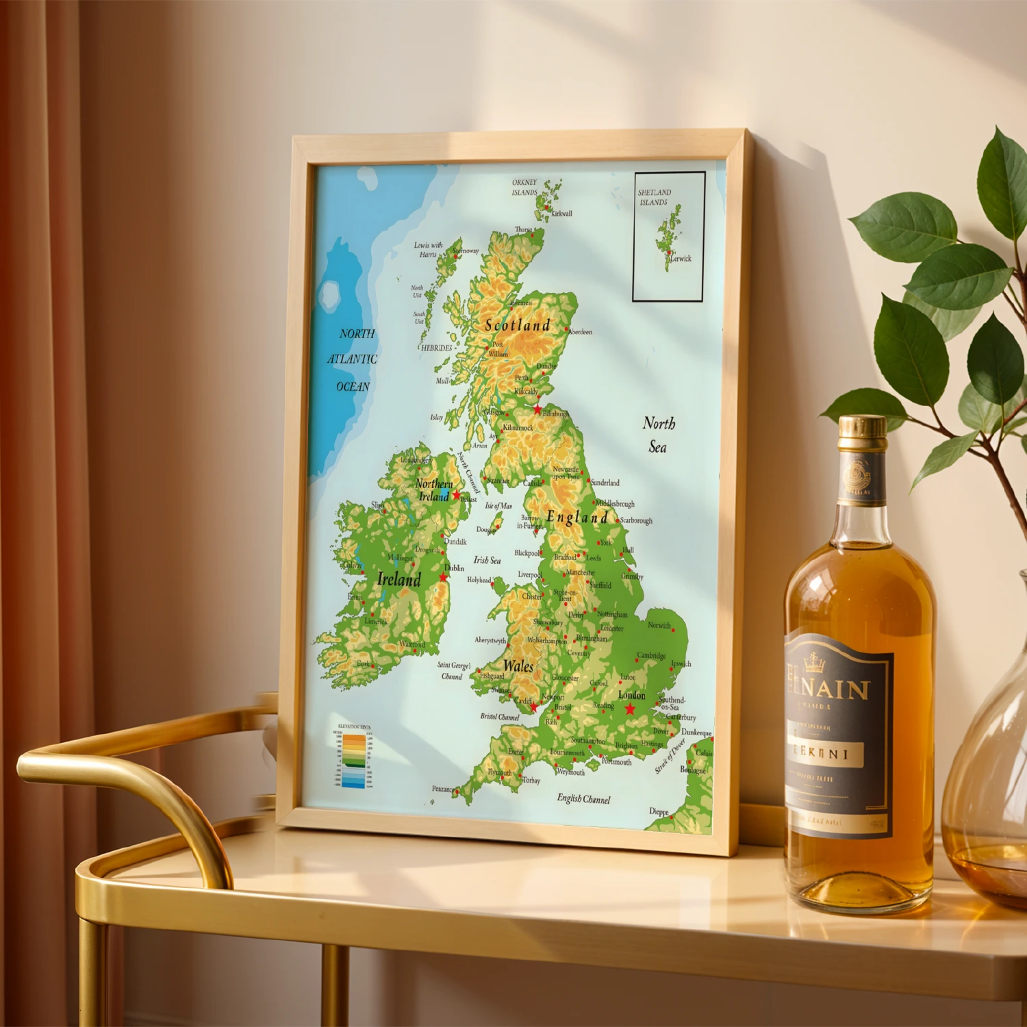
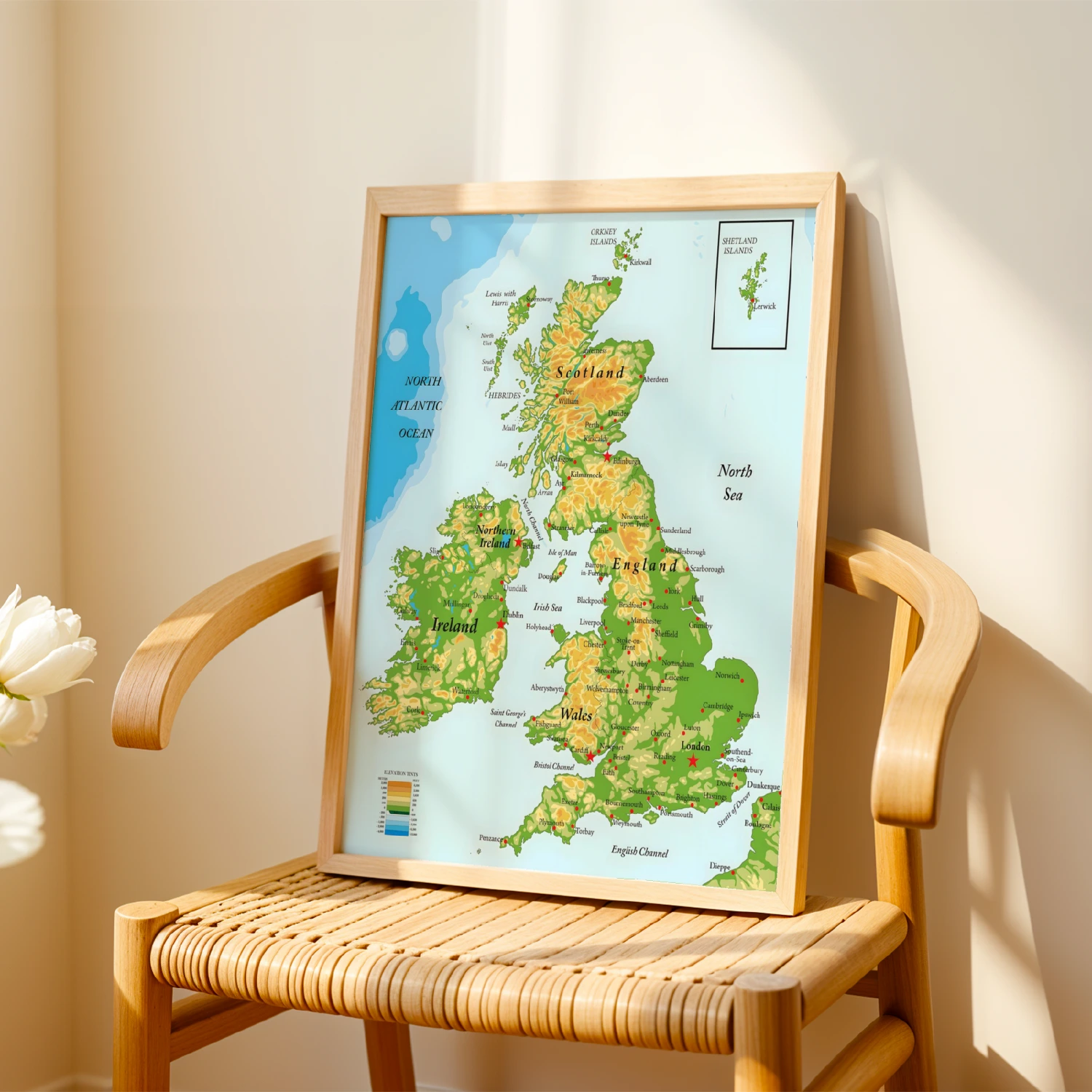
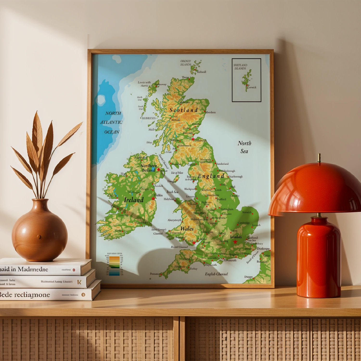
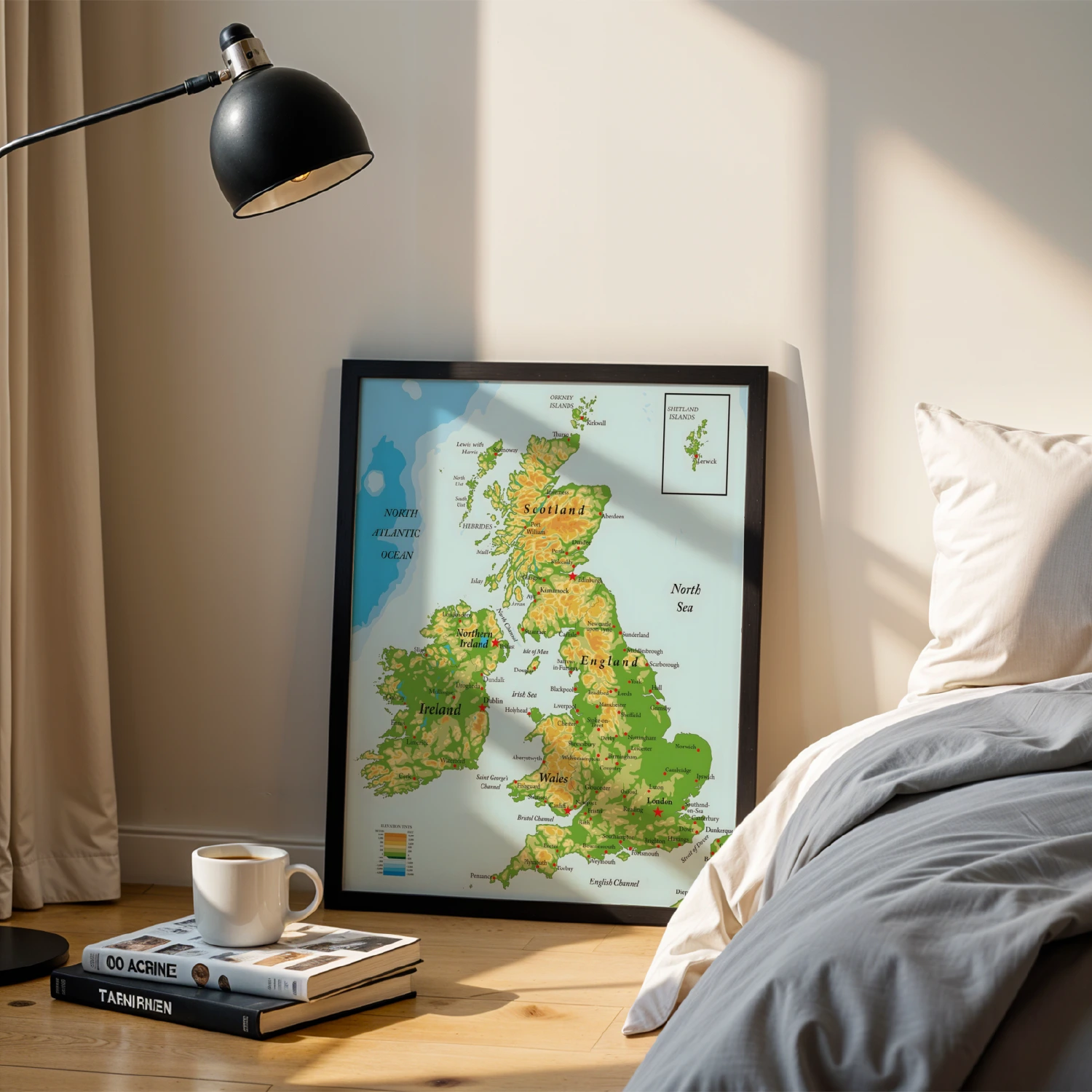
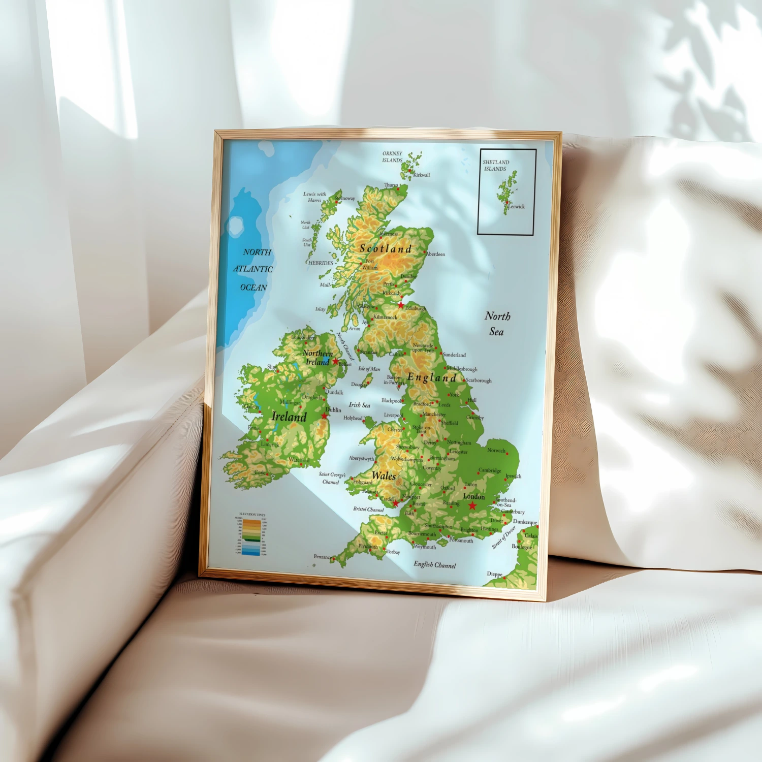
British Isles Educational Map Scotland England Wales Ireland Wall Art
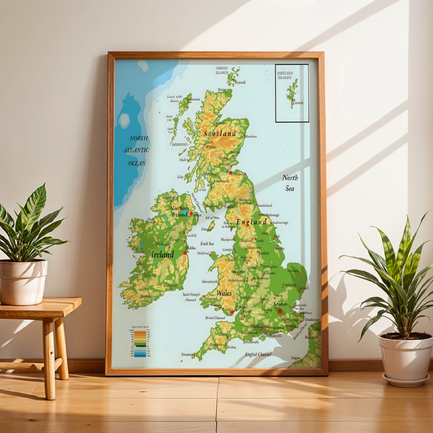
A detailed topographic map of Scotland, England, Wales, Ireland and Northern Ireland with elevation tints and city markers.
Description
This educational wall art presents a richly detailed physical map of the British Isles, covering Scotland, England, Wales, Ireland and Northern Ireland with elevation tints, city labels and surrounding seas. A beautiful blend of cartography and classroom reference that suits studies, classrooms and travel lovers. Includes insets for the Orkney and Shetland Islands.