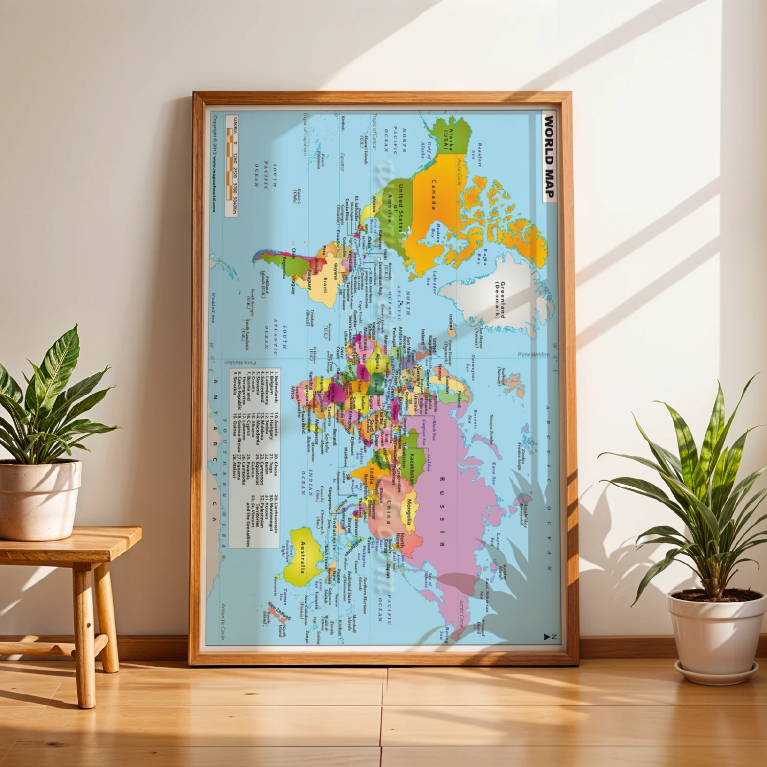
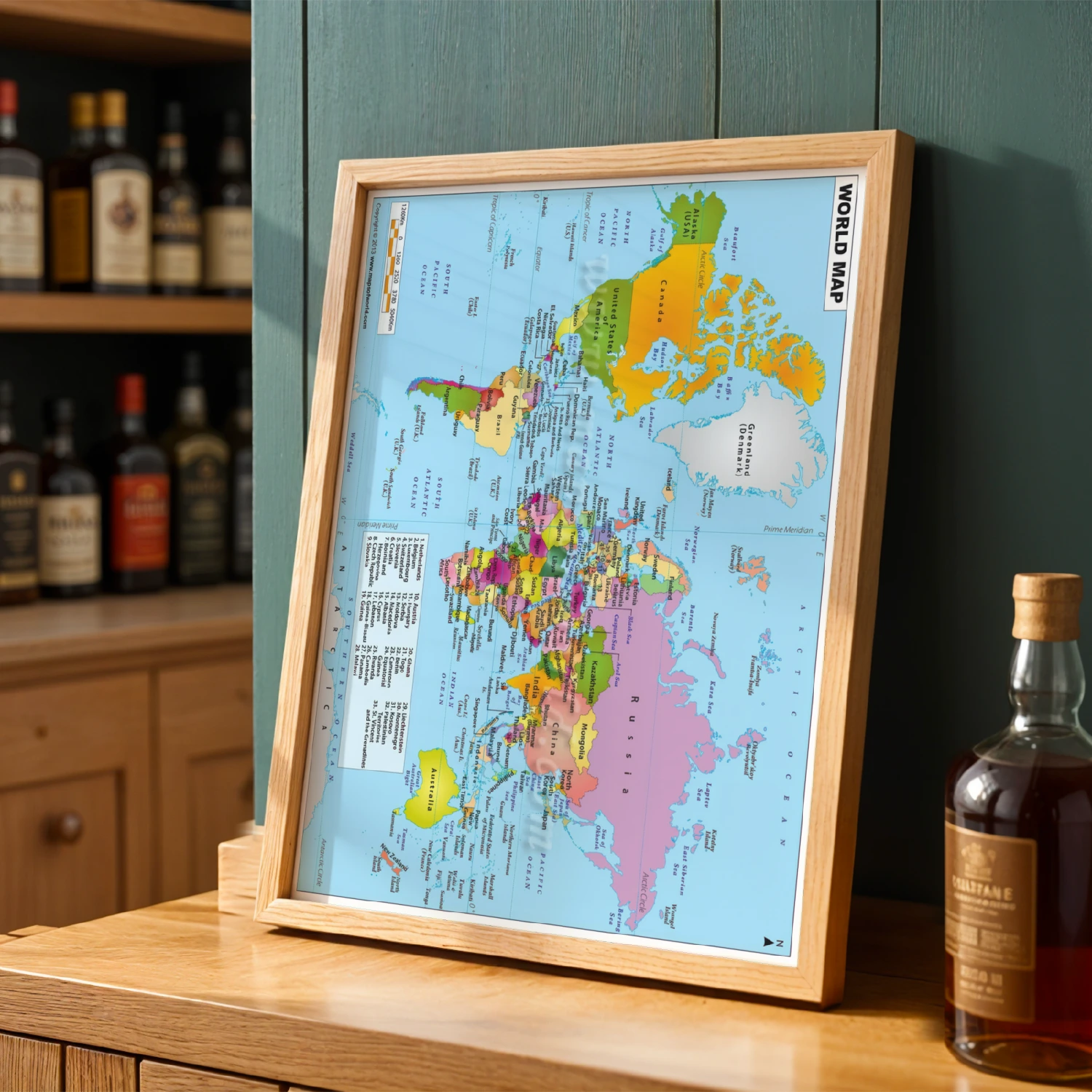
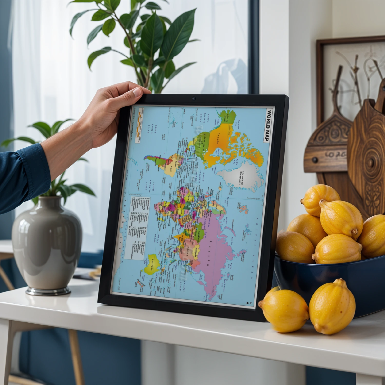
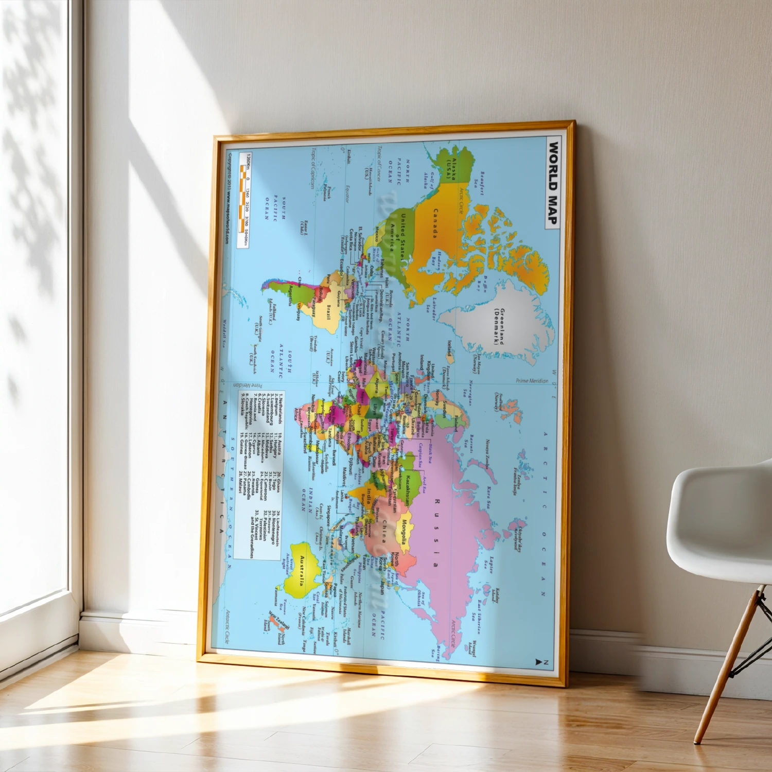
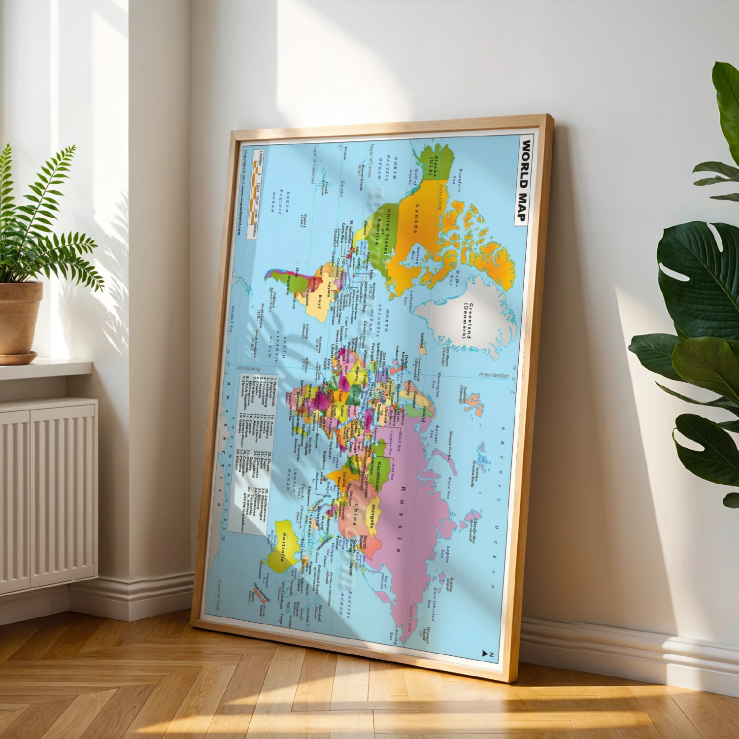
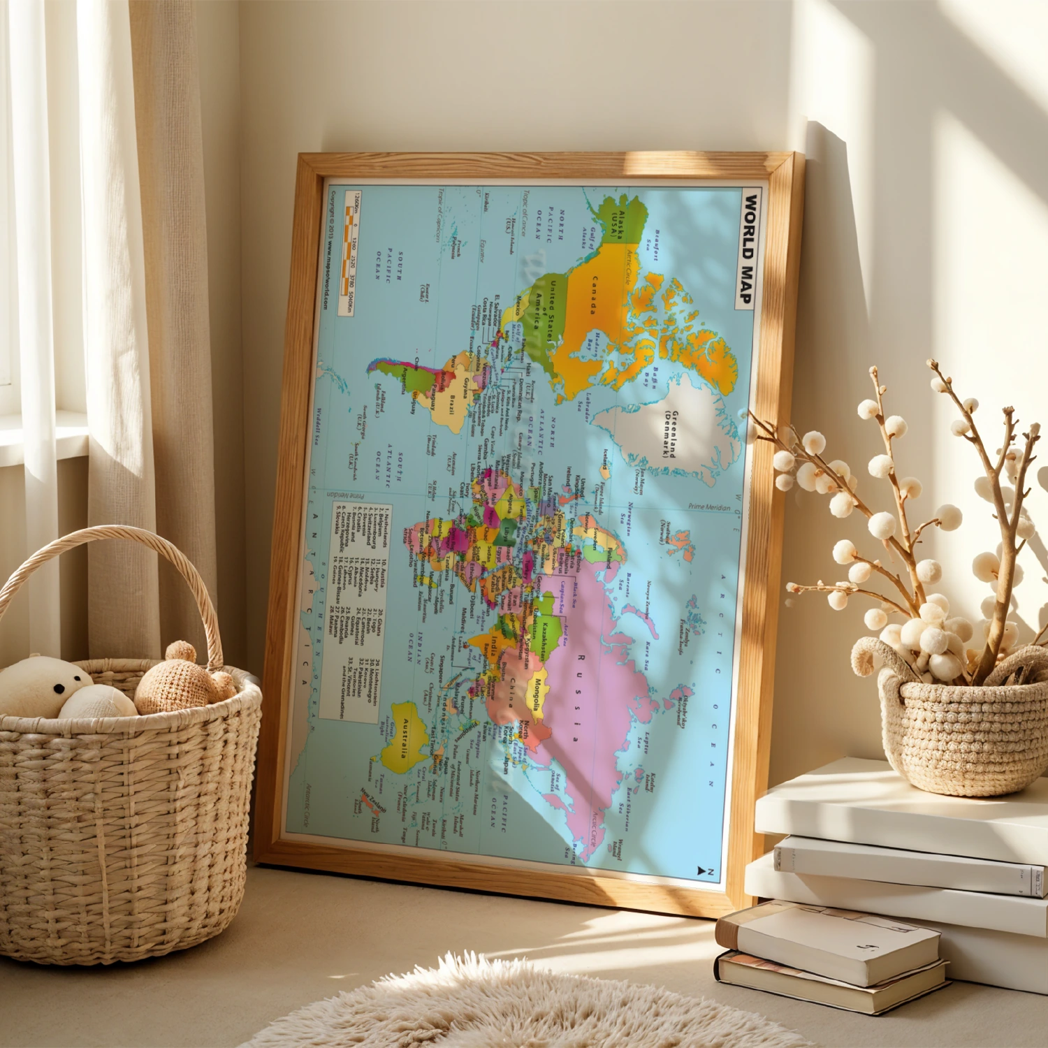
Colorful Political World Map 2013 Educational Reference Wall Art
A detailed full-color political world map poster — continents, oceans, and country labels for home or classroom.
Description
This vibrant political world map packs the whole planet into one educational wall print: color-coded countries, labeled oceans, latitude and longitude lines, and a numbered legend for smaller nations. Copyright 2013, it makes a sharp reference piece for classrooms, offices, kids’ rooms, and travel dreamers planning their next adventure.