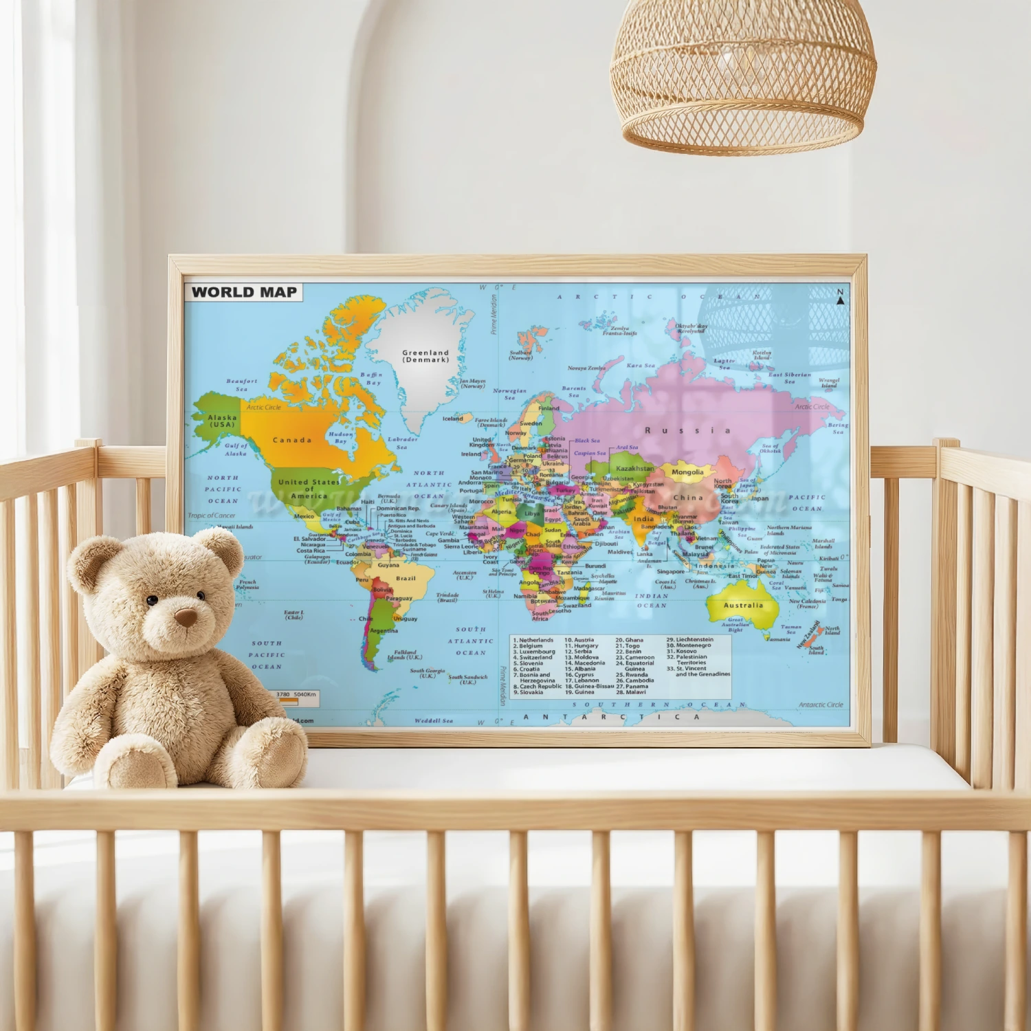
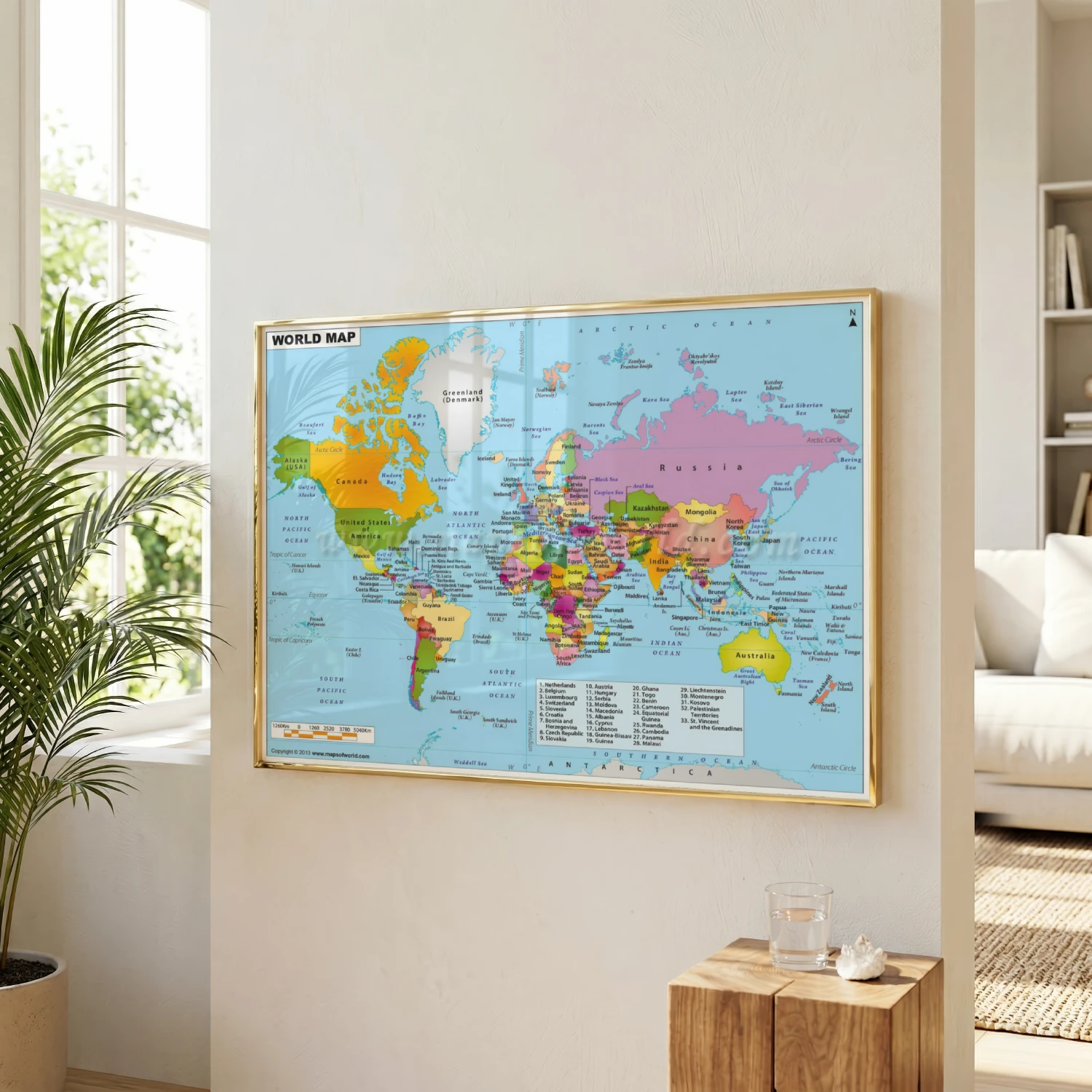
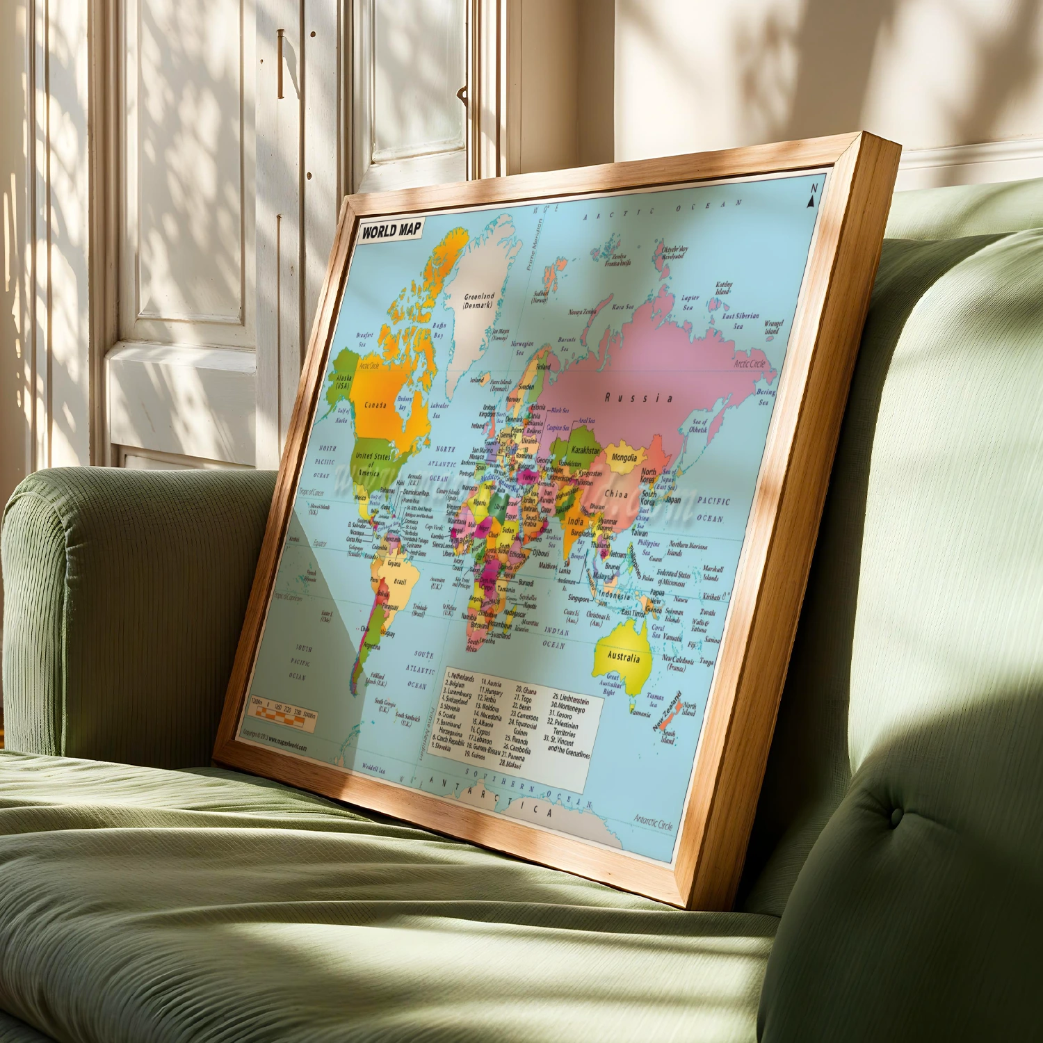
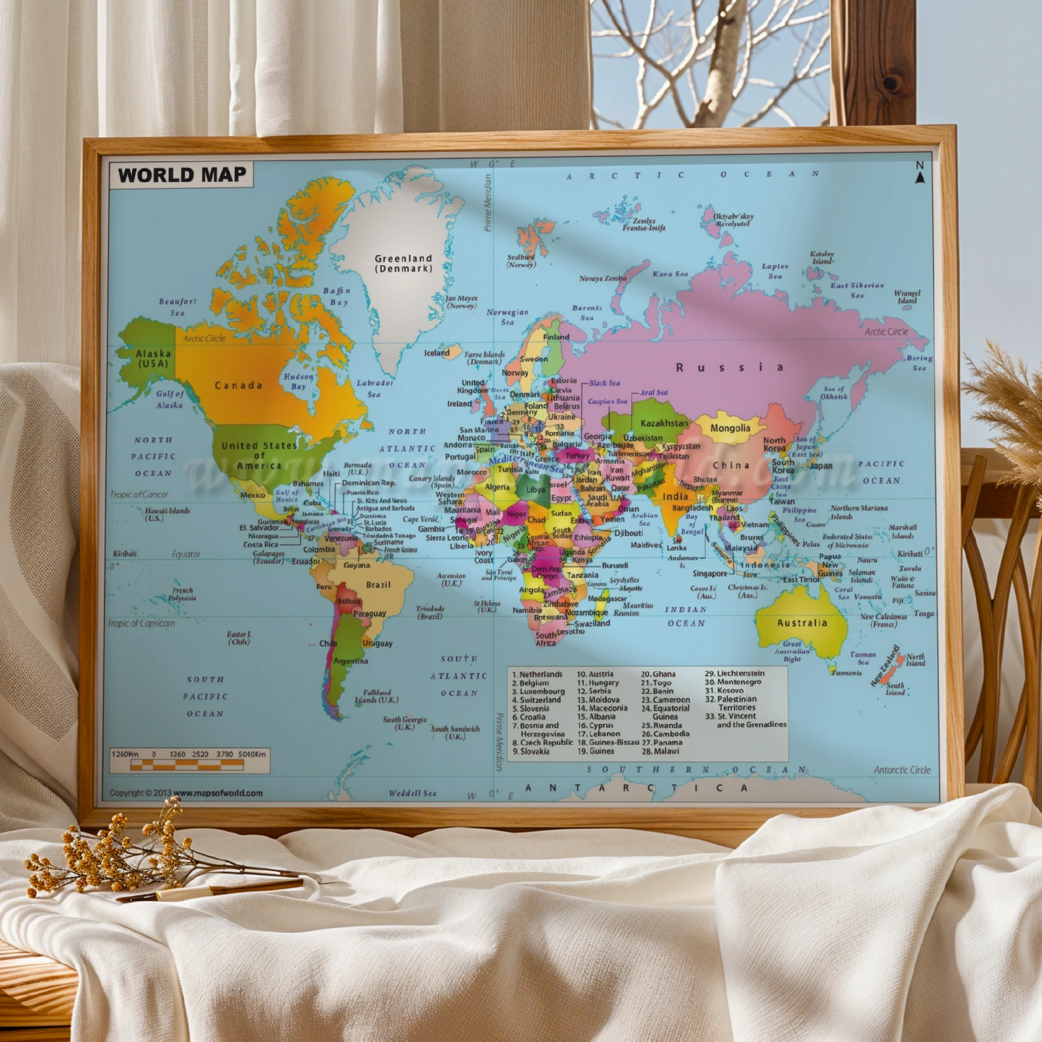
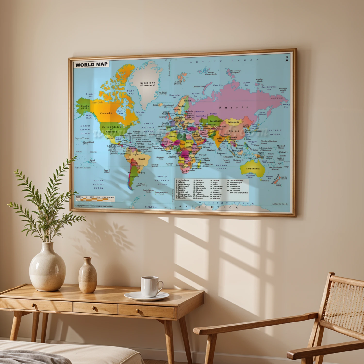
Detailed World Political Map Poster with Countries Capitals and Oceans
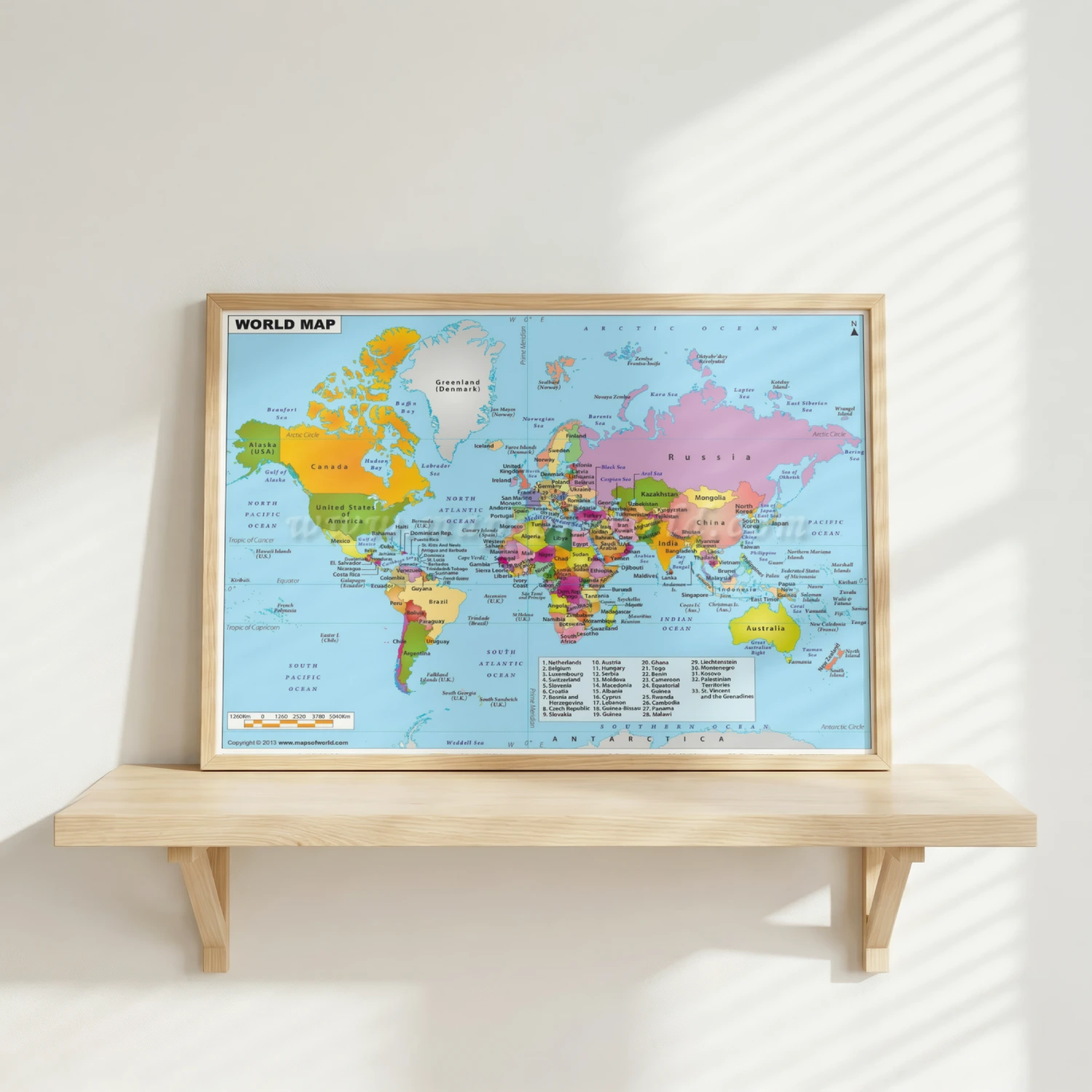
A full-color political world map labeling countries, capitals, and oceans across every continent. Equal parts educational tool and striking wall decor.
Description
This detailed world political map poster labels countries, capitals, and oceans in vivid color, from the Americas to Asia and Australia. Copyrighted 2013 by mapsofworld.com, it includes a country index and scale bar for reference. A smart, educational wall piece for classrooms, offices, and curious travelers.