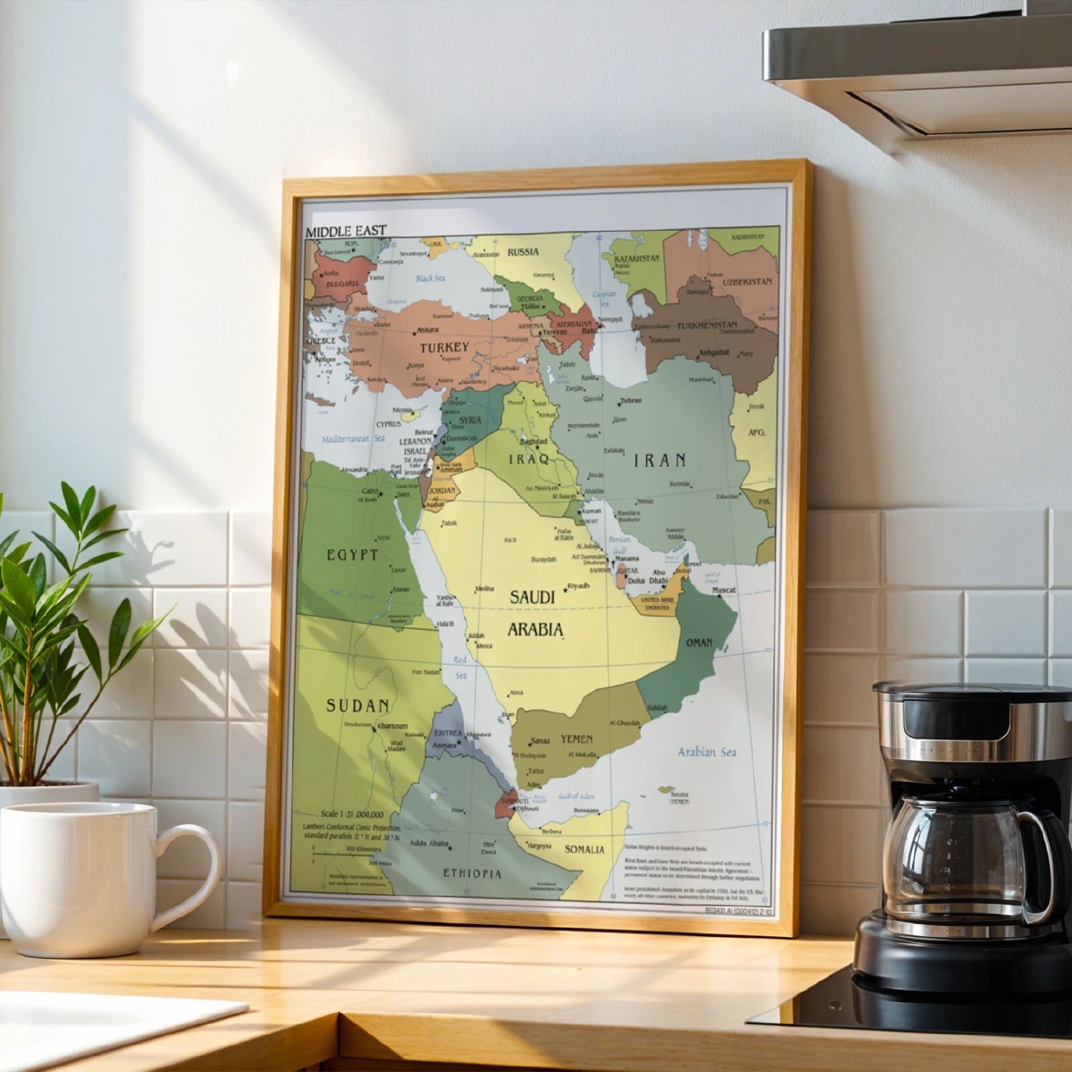
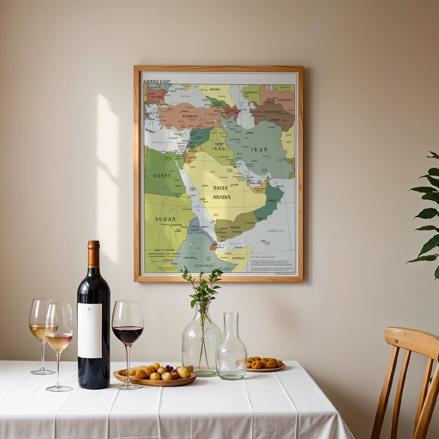
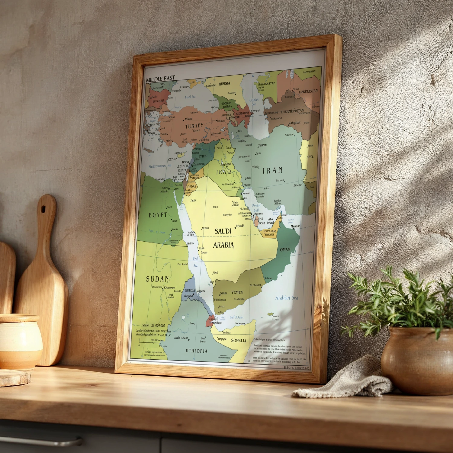

Middle East Political Map Reference Chart Countries and Capitals Poster
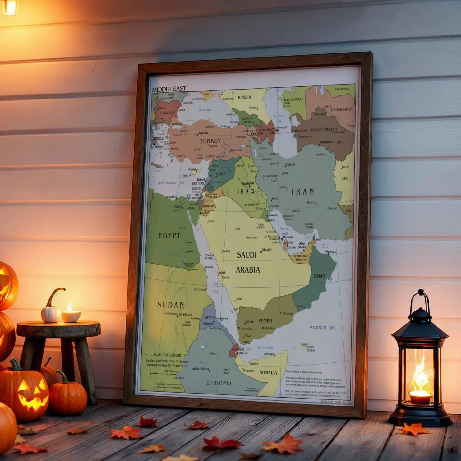
A detailed color-coded political map of the Middle East showing countries, capitals, cities and surrounding regions. Clear, authoritative cartography for study or office walls.
Description
A richly detailed Middle East political map covering Turkey, Iran, Saudi Arabia, Egypt, Iraq, Israel and the full surrounding region. Cities, capitals and geographic features like the Persian Gulf and Red Sea are labeled in classic atlas style. Perfect for classrooms, offices and geography lovers who want a beautiful, informative reference chart on the wall.