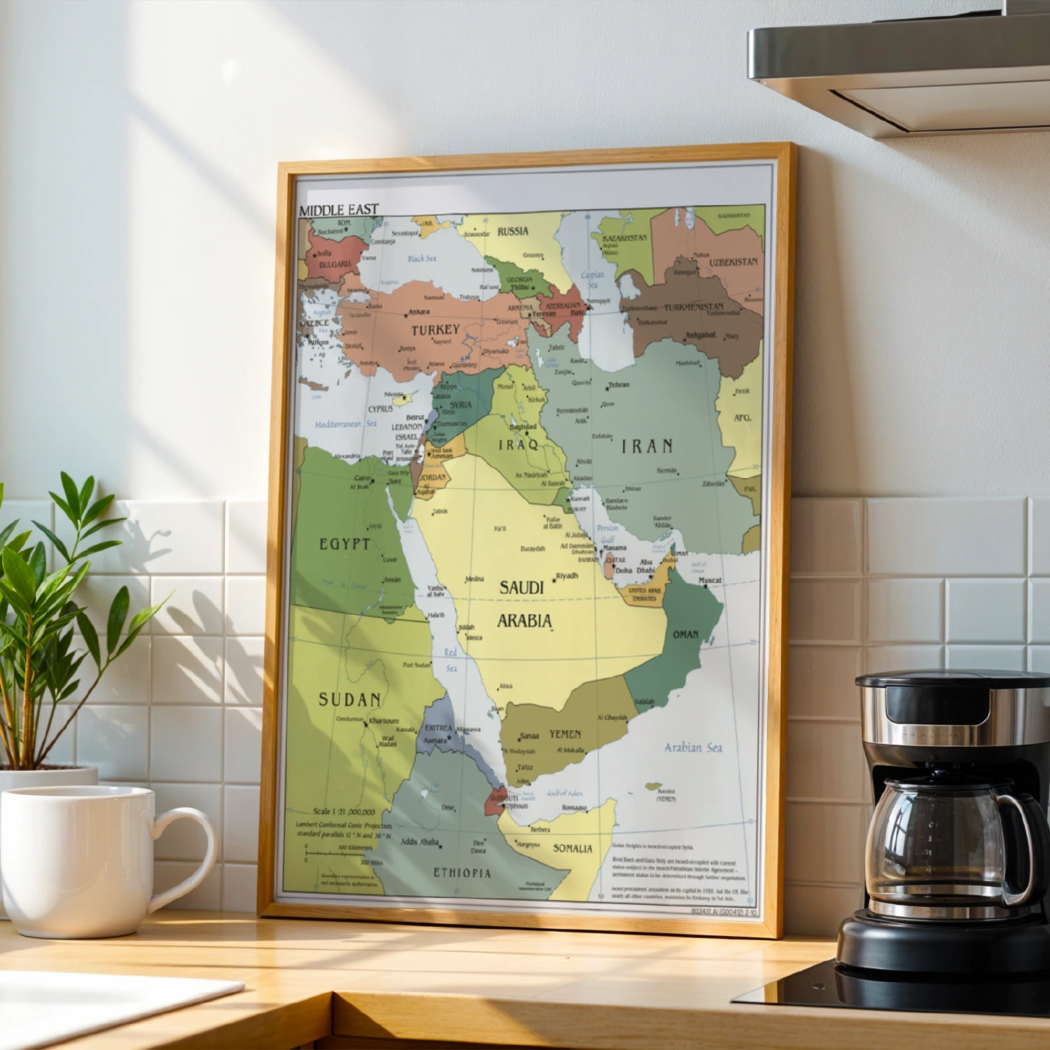
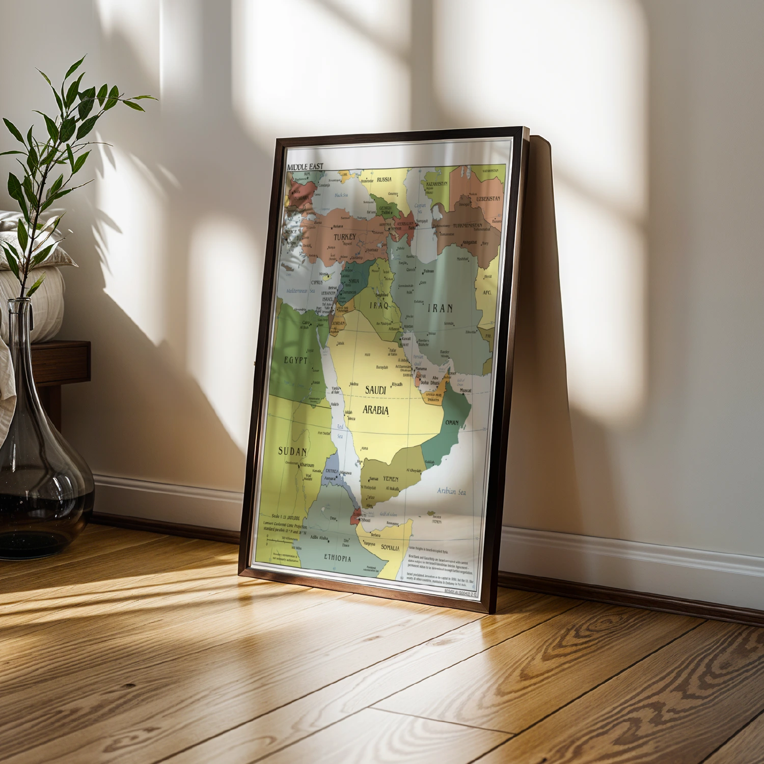
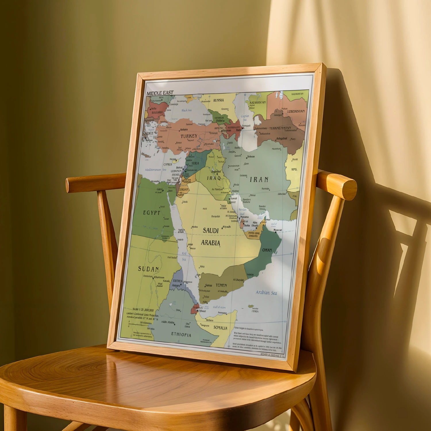
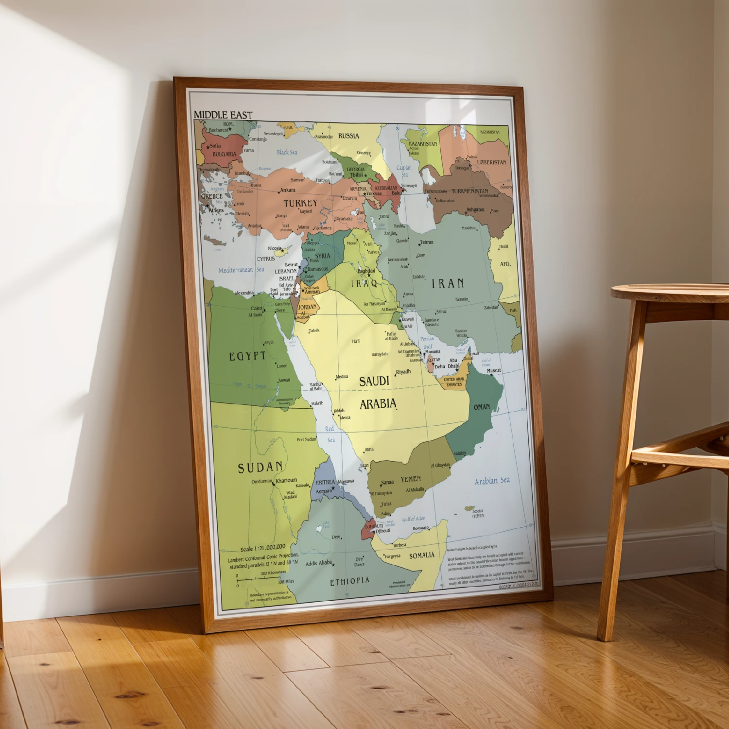
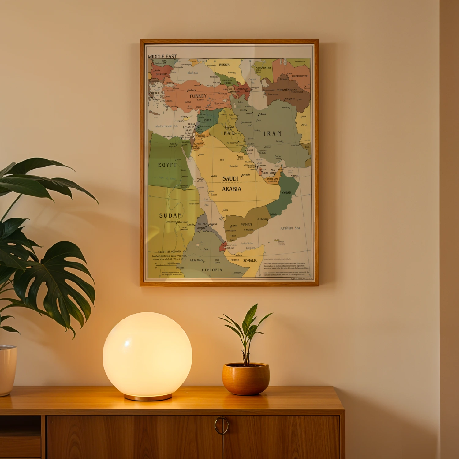
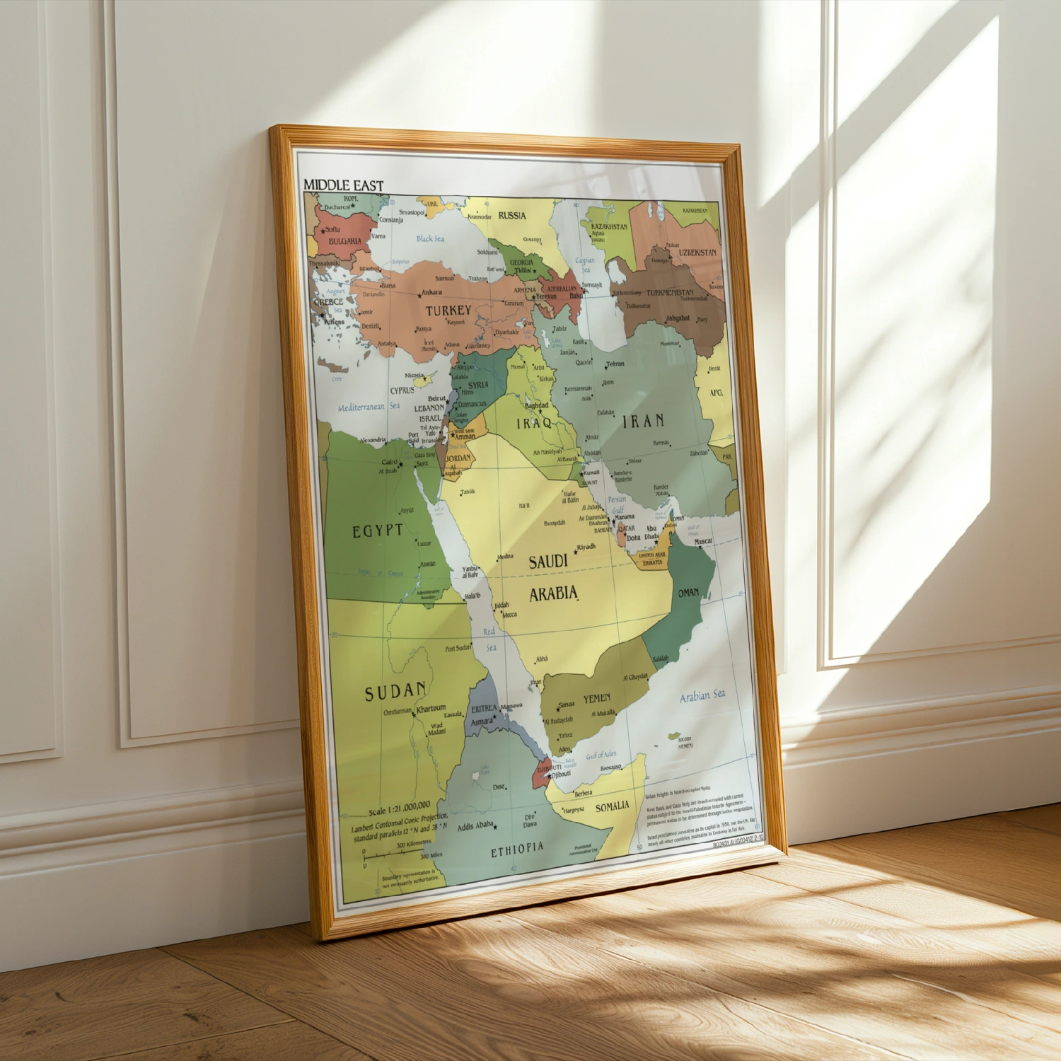
Middle East Political Map with Country Borders Educational Poster
A detailed political map of the Middle East covering from Turkey to Somalia. Country borders, capitals, and seas are all clearly labeled.
Description
This educational Middle East map poster shows current political boundaries across the region, from Bulgaria and Russia down through Egypt, Saudi Arabia, and Iran. Capitals, waterways, and disputed areas are annotated in fine detail. Ideal for classrooms, offices, or anyone studying world geography and current affairs.