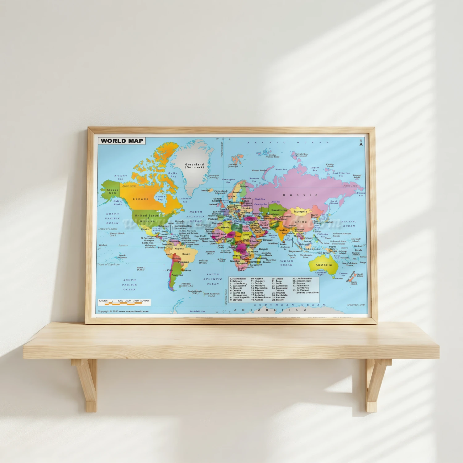
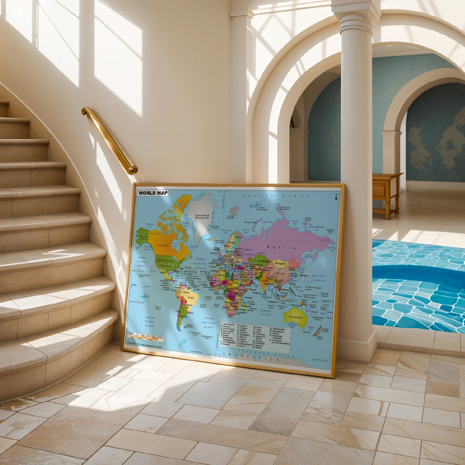
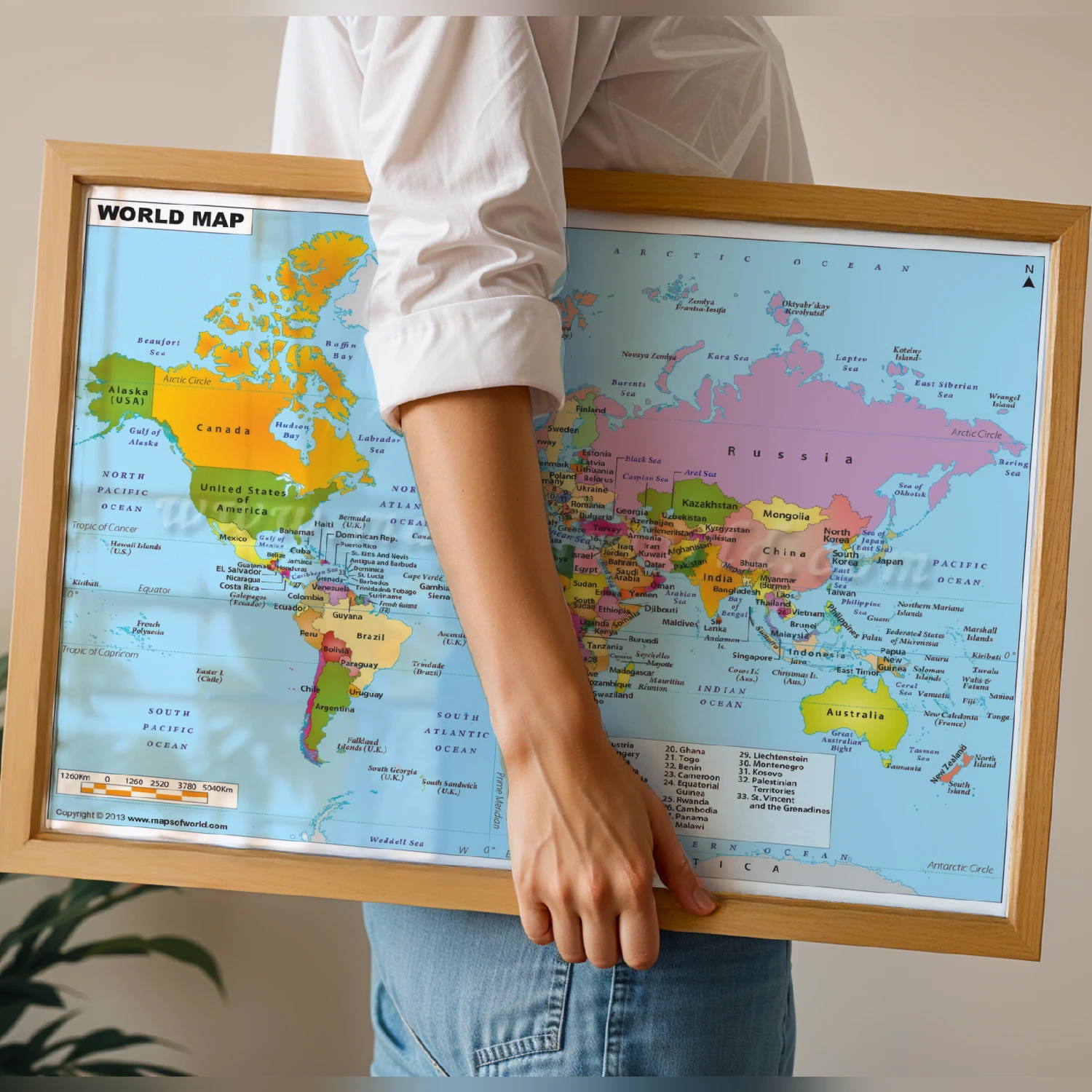
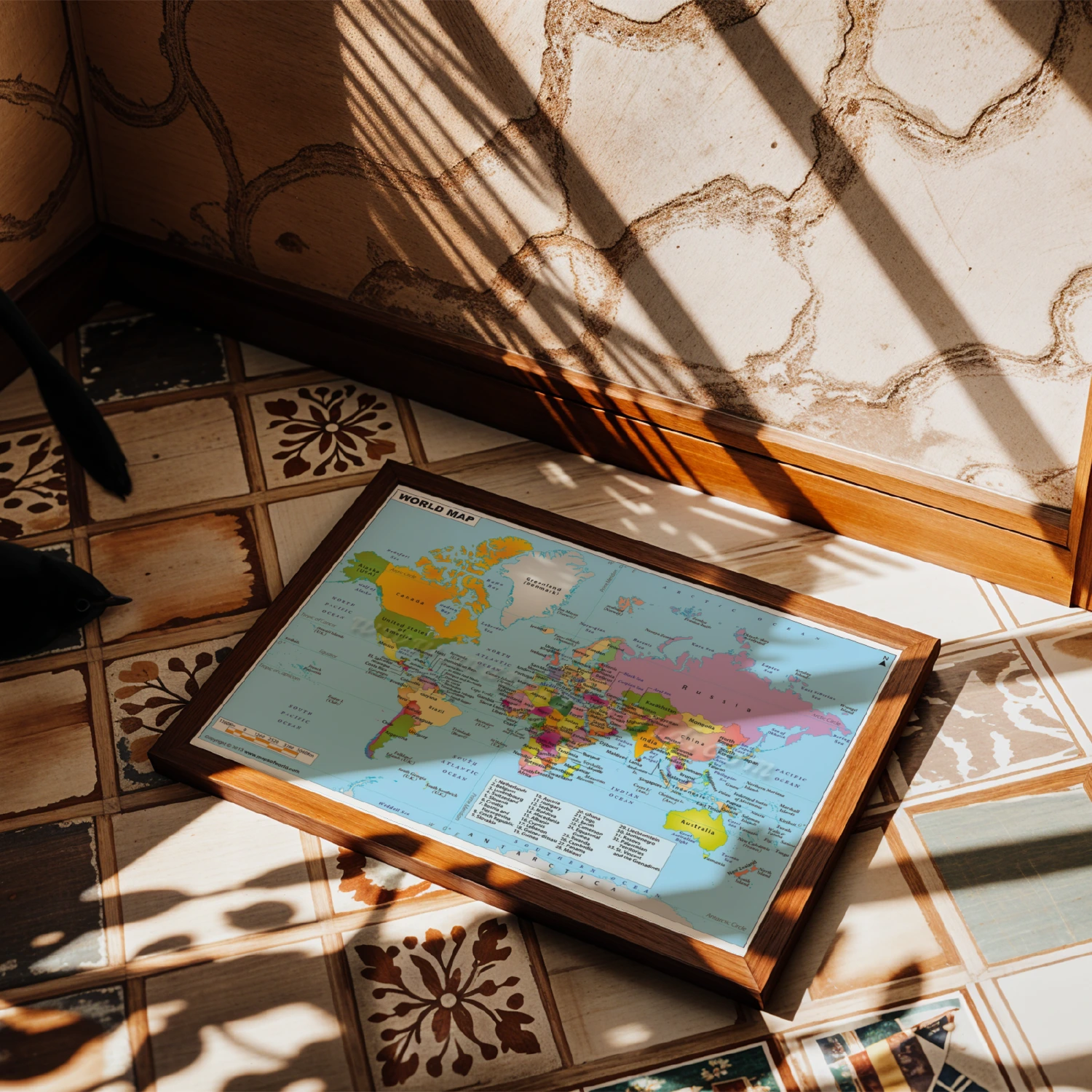
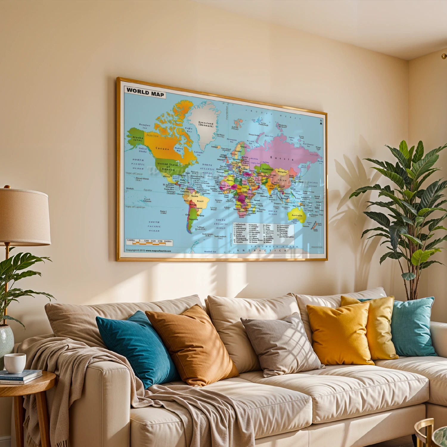
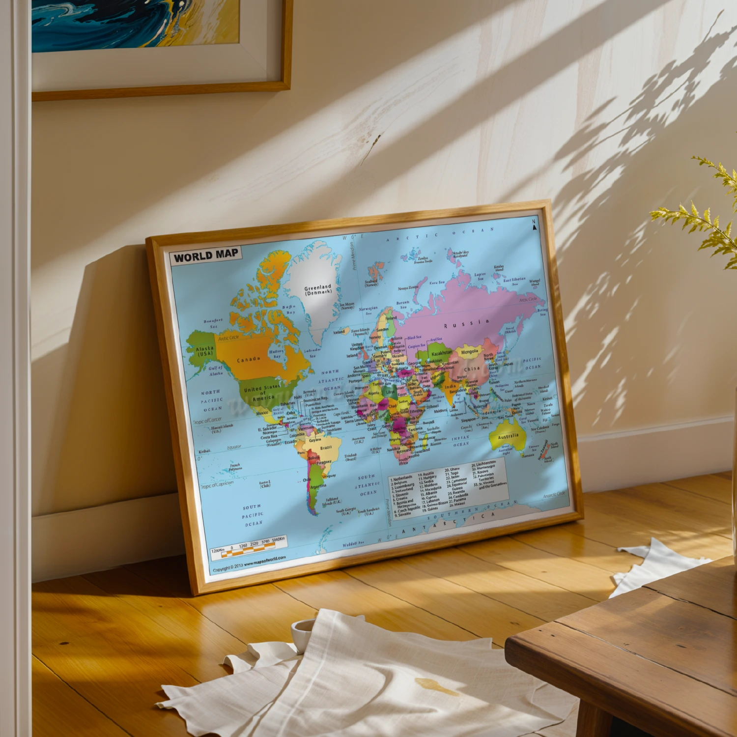
Political World Map 2013 Detailed Geography Educational Poster
A richly detailed 2013 political world map labeling every country, capital, and ocean. A classic educational reference piece for classrooms, offices, and kids’ rooms.
Description
This political world map poster (copyright 2013, mapsofworld.com) charts countries, capitals, seas, and ocean currents in clear color-blocked style. Numbered insets cover smaller European states, making it a practical and decorative geography reference.