UK Counties Map Educational Geography Reference Poster for Classrooms
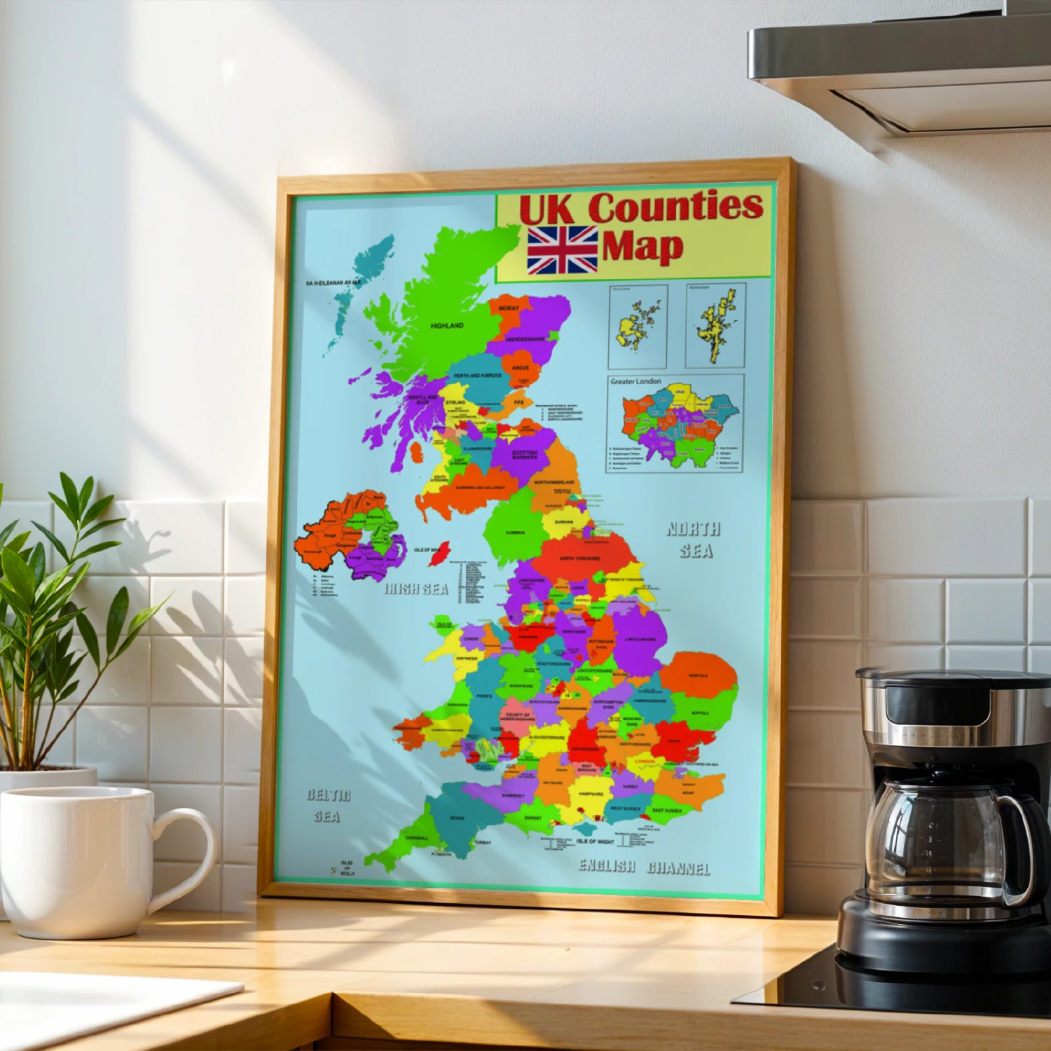
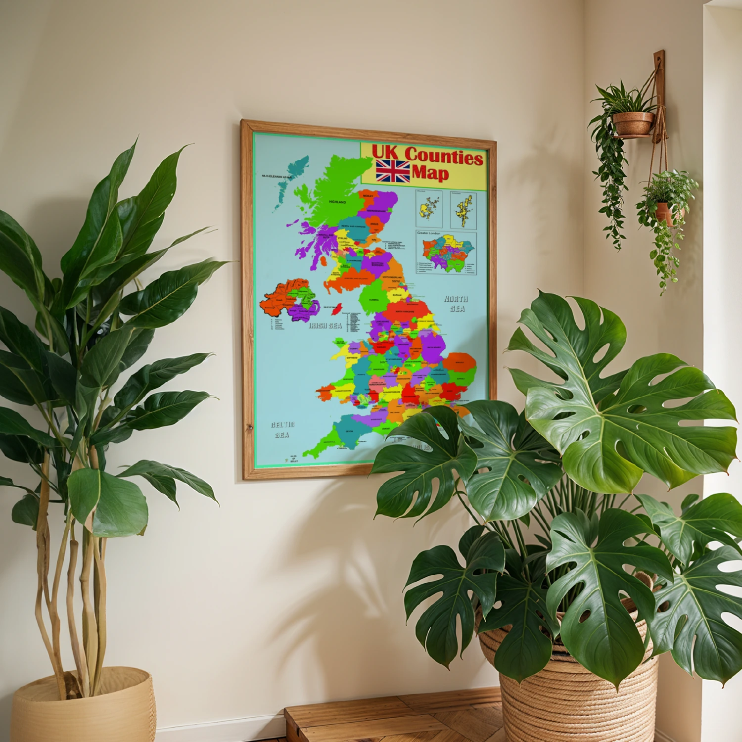
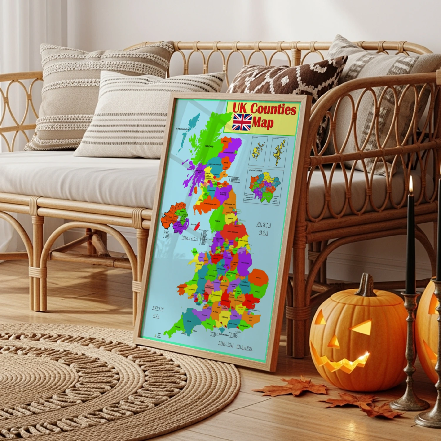
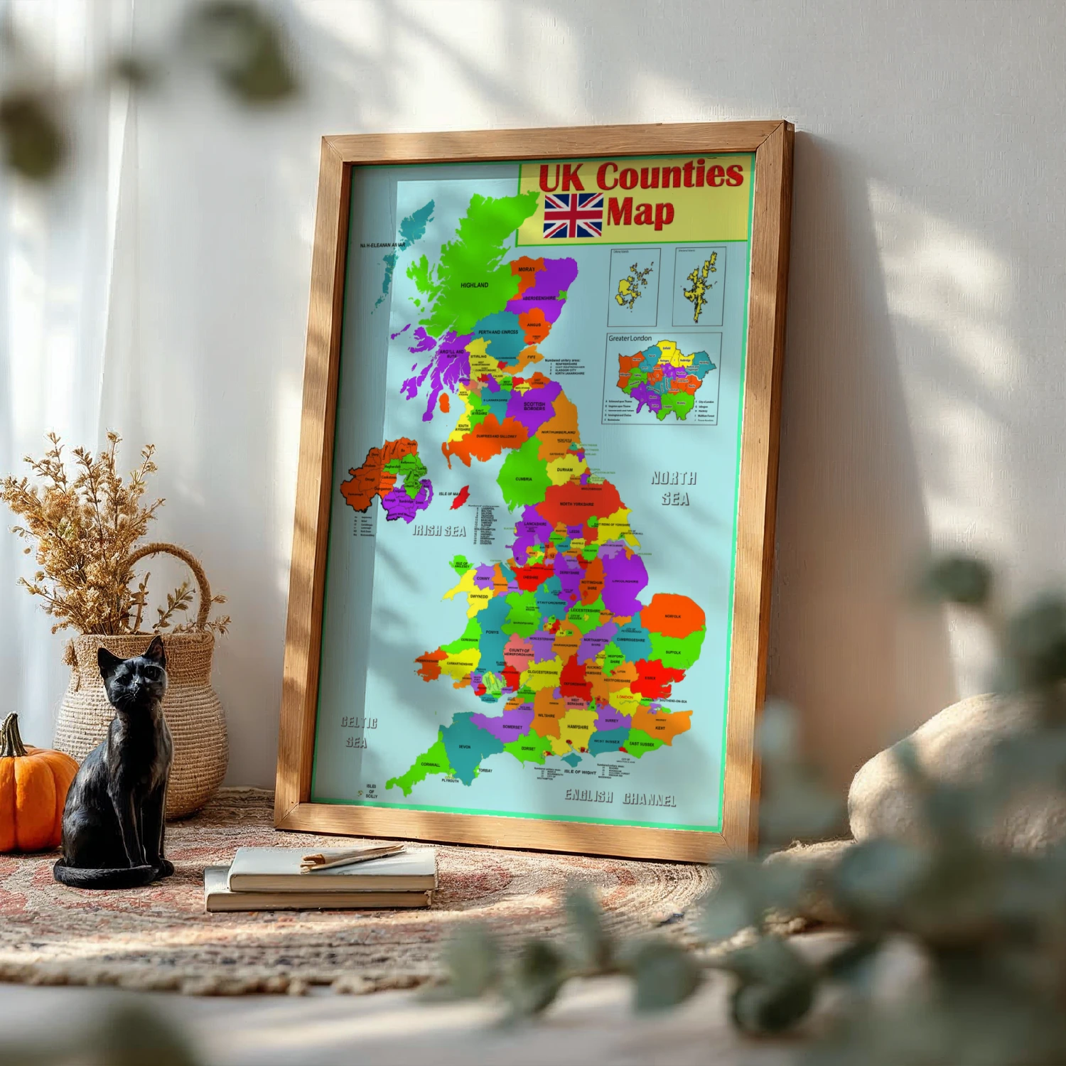
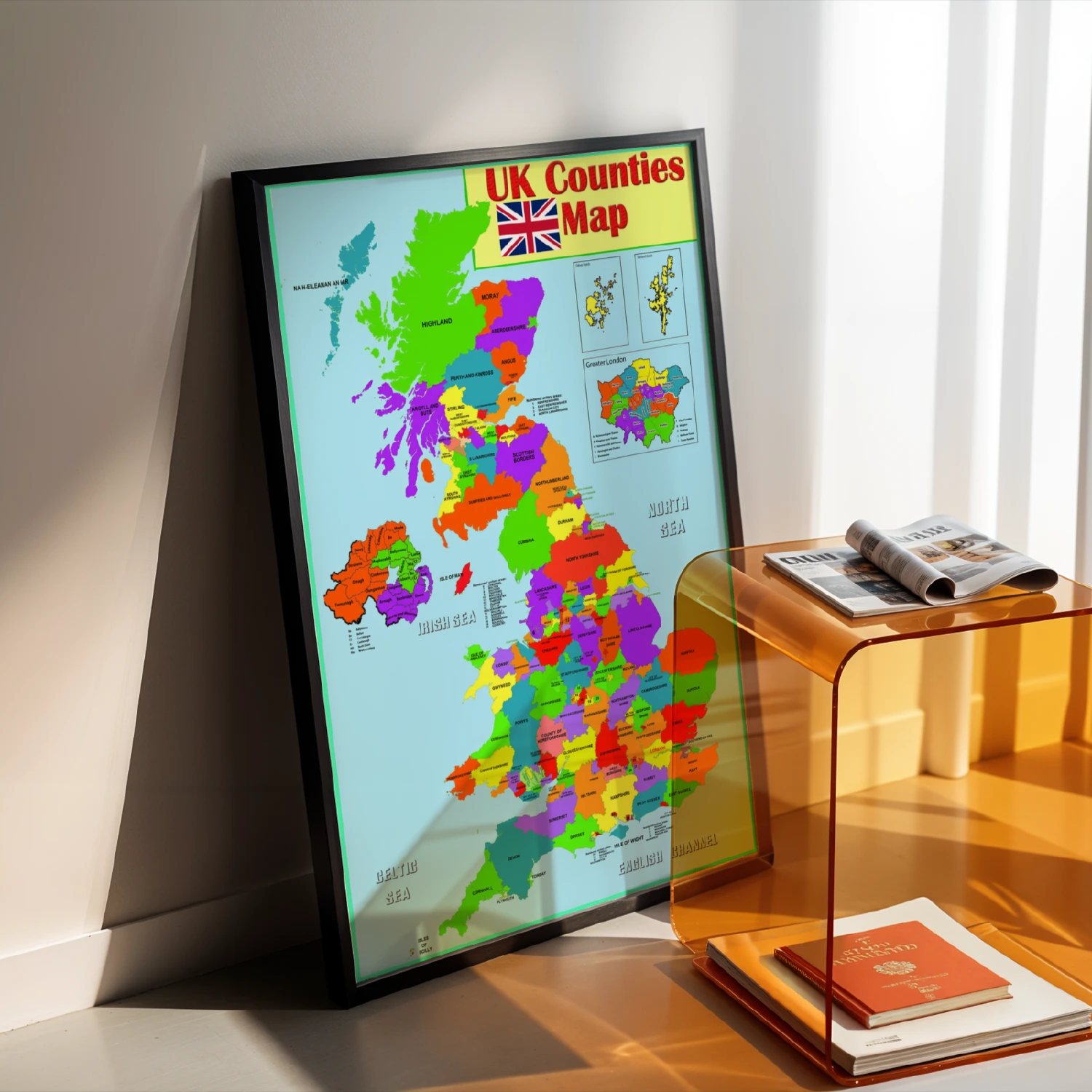
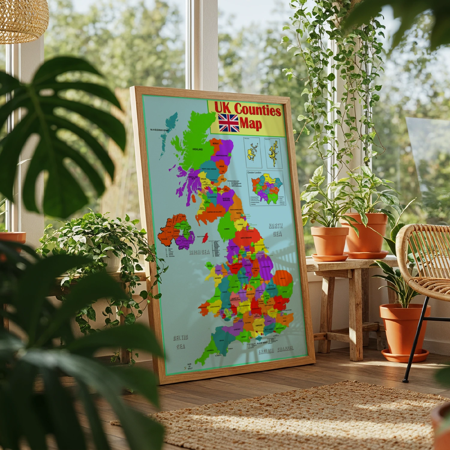
Bright educational UK Counties Map poster with every county color-coded, plus inset maps of the Orkney and Shetland Islands and Greater London.
Description
Colorful educational wall map of the United Kingdom labeling every county from Highland and Moray in Scotland through Northumberland, Cumbria, North Yorkshire, Cornwall and Devon, with the Union Jack header. Insets show the Orkney Islands, Shetland Islands, Northern Ireland, the Isle of Man and Greater London boroughs, plus surrounding seas. A vivid reference piece for classrooms, offices and geography fans.