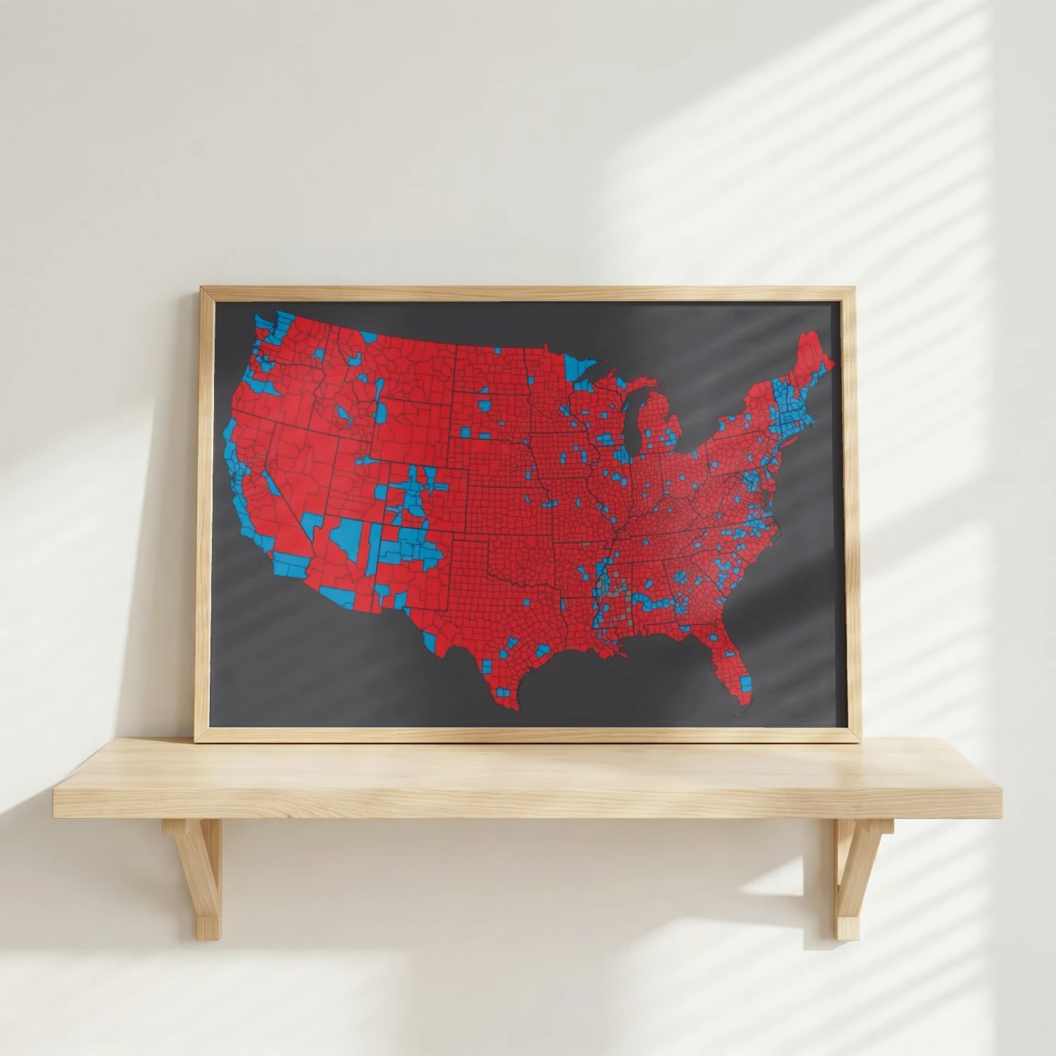
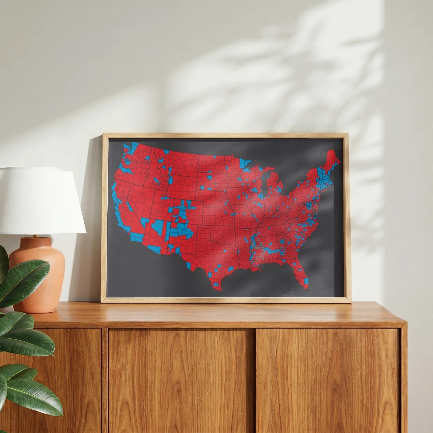
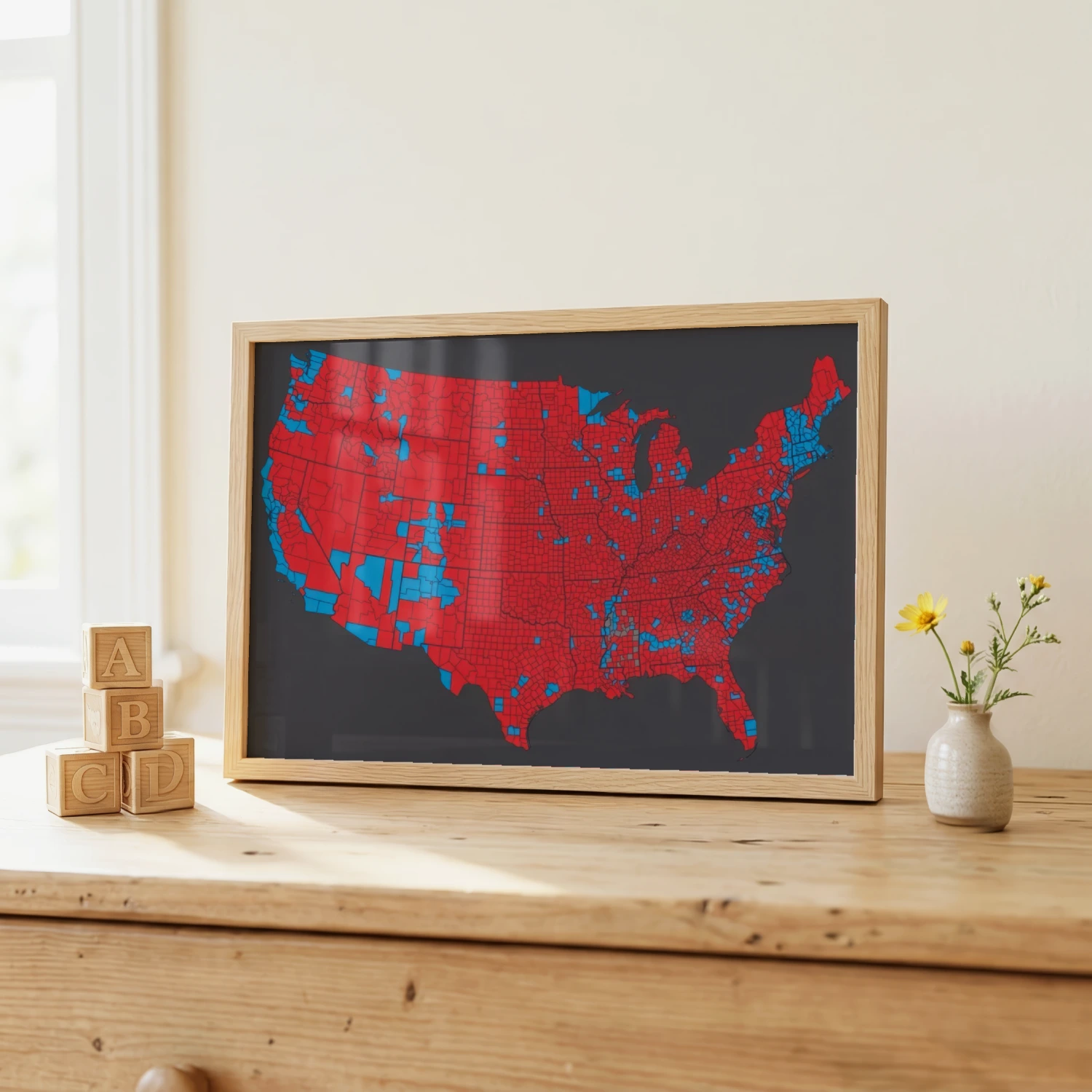
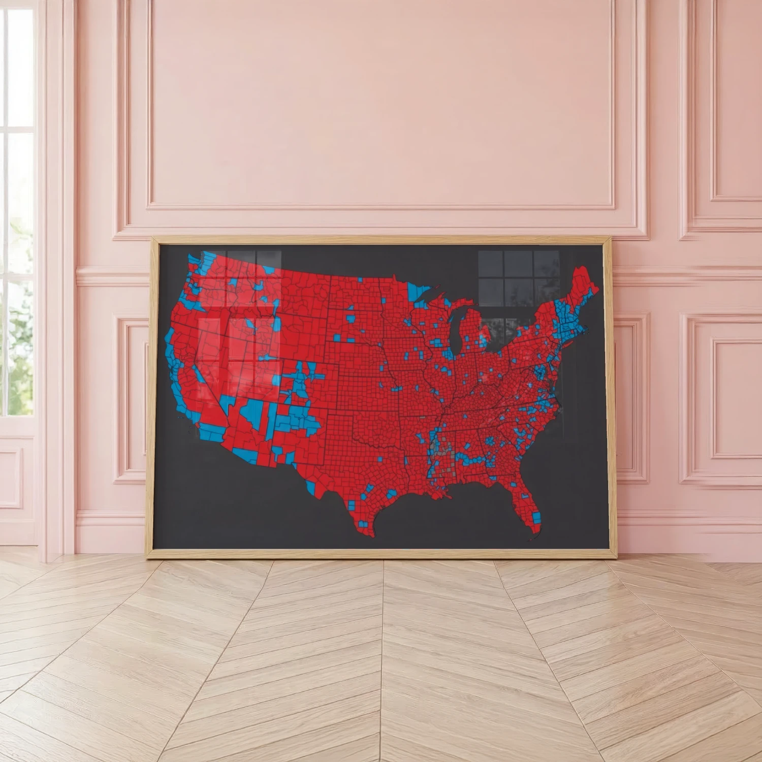
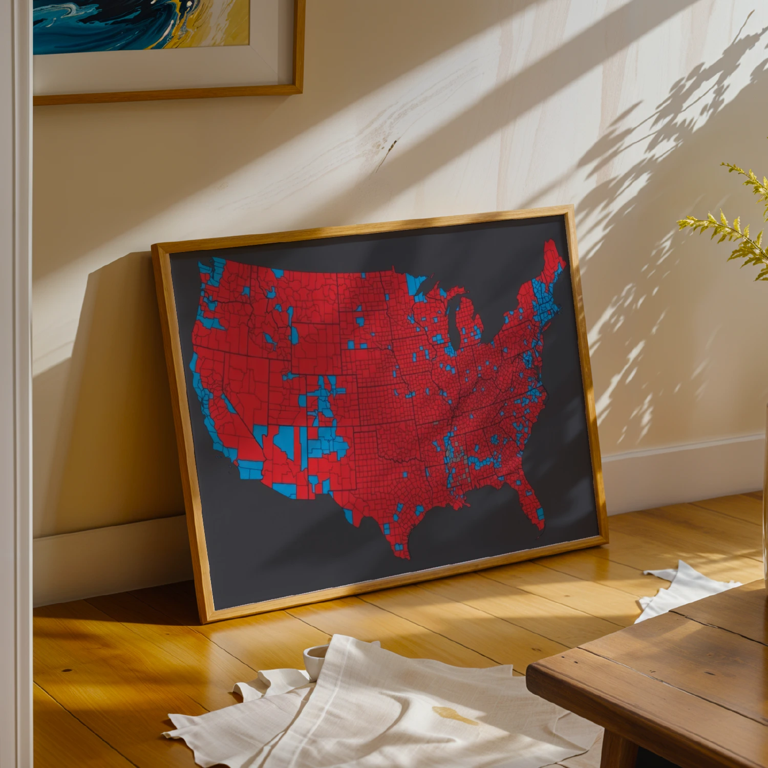

United States Presidential Election County Results Red Blue Map Poster
A detailed county-by-county map of a US presidential election, colored in classic red and blue. Fascinating data visualization for political junkies.
Description
This poster presents a full county-level map of the United States shaded red and blue by presidential election results. The striking geographic pattern makes it a compelling piece of political data art. Perfect for classrooms, offices, and anyone fascinated by American electoral geography.